Mayor Wu Announces Major Expansion of Boston’s Bike Network
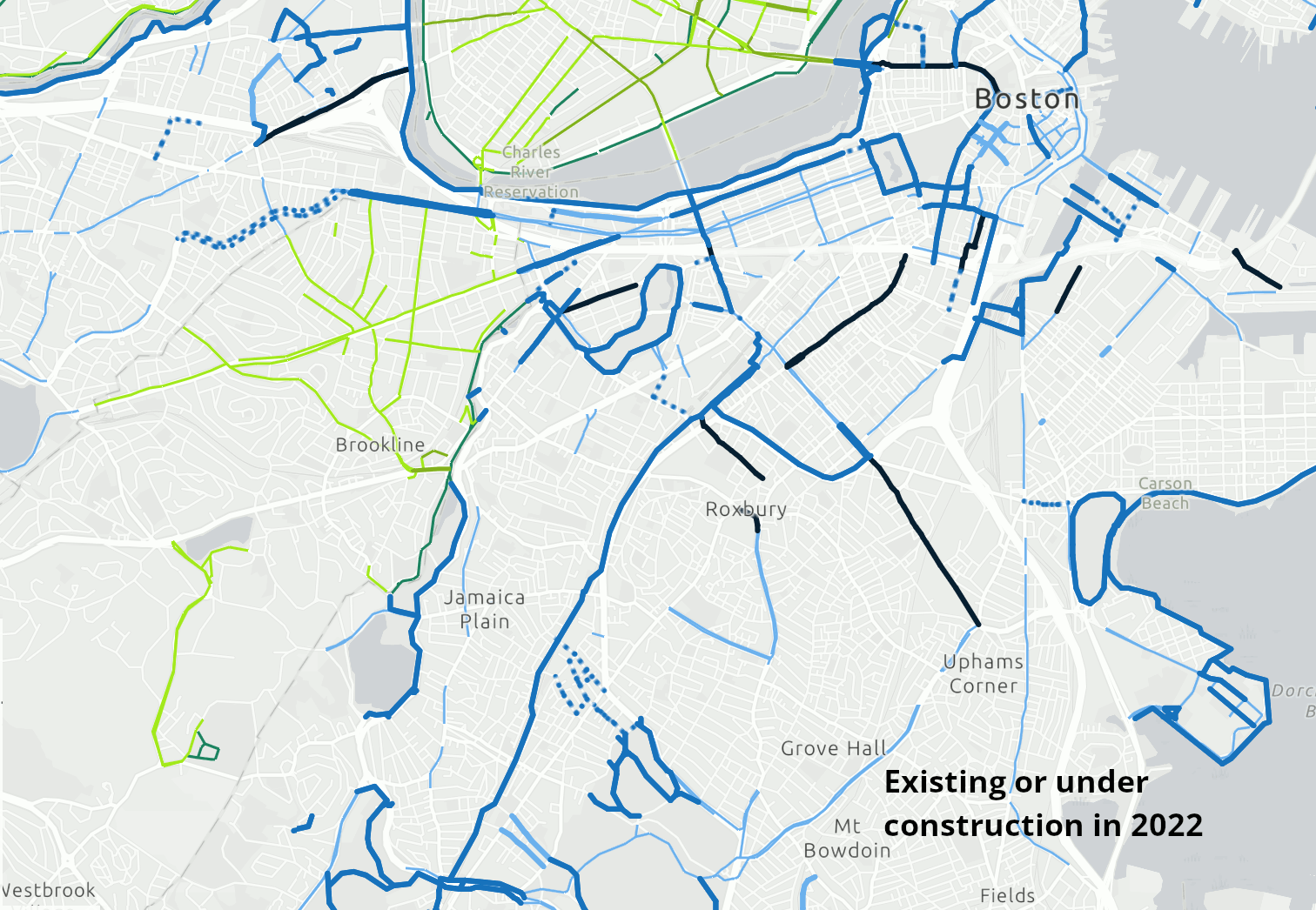
A map of Boston’s current bike network and new infrastructure announced by the Wu administration on Tuesday. Bold orange lines indicate new protected bike lanes and yellow lines indicate new contraflow bike lanes on one-way streets. Dark blue lines indicate protected bike lane projects already in progress, like Tremont Street in the South End and south Mass. Ave.
At a press conference in Roxbury this morning, Boston Mayor Michelle Wu announced that the city would undertake a major expansion in the city's network of separated bike lanes, with a goal to put 50 percent of the city's population within a 3-minute walk of a protected bike lane within the next three years.
"We are adding 9.4 miles of new bike lanes by the end of next year, to mend key gaps and expand our network," said Mayor Wu.
The mayor's plan also promises to add 100 new stations to the Bluebikes network and over 100 new speed humps or raised crosswalks to calm traffic on neighborhood streets throughout the city.
The mayor's administration published the details of the plan in a new website on Tuesday morning.
According to maps on that website (reproduced above), the city is planning new bike lane installations on Commonwealth Avenue between the B.U. Bridge and Massachusetts Avenue, Milk Street downtown, Albany Street in the South End, South Huntington Avenue in Mission Hill and Jamaica Plain, Western Avenue in Allston, and on Berkeley and Boylston Streets in Back Bay.
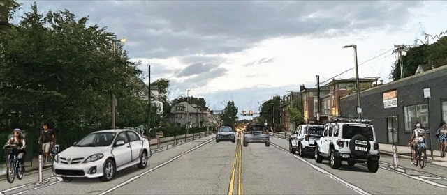
Additional "contraflow" bike lanes are being considered for smaller neighborhood one-way streets, like Boylston, Green, and Seaverns Streets in Jamaica Plain, and Hemenway Street in Fenway.
The city says that these new bike lanes will be in place by the end of 2023, and will put 35 percent of Boston's residents and 72 percent of Boston's jobs within a 3-minute walk of the city's protected bike lane network.
One notable missing link in the city's plans is Charles Street, part of the City's ongoing Downtown Bike Network initiative, and a key bike corridor advocates have been pushing for.
Just last month over a hundred bicyclists and advocates gathered on Charles Street and together formed a 'people-protected' bike lane across Beacon Hill, showing how public space could be reallocated for people on bikes.
At Tuesday's press conference, StreetsblogMASS asked Jascha Franklin-Hodge, City of Boston's Chief of Streets, about the possibilities of connecting the Longfellow Bridge to the downtown bike network via Charles Street.
He said Charles Street, along with the section of Columbus Avenue connecting the Southwest Corridor to downtown, are part of a separate ongoing planning process. "Those conversations are moving forward, and we do intend to better connect the different parts of the city that are part of the Connect Downtown project," said Franklin-Hodge.
Mayor Wu's predecessor, Marty Walsh, adopted an ambitious citywide transportation plan, Go Boston 2030, which called for a connected network of separated bike lanes throughout the city center.
However, implementation of the GoBoston 2030 plan has been uneven, and progress on the proposed bike network has been particularly slow. Even where protected bike lanes exist, many of them remain disconnected from one another.
The 2017 Go Boston 2030 plan identified over 31 miles of "priority" bikeway projects and an additional 62 miles of 15-year projects to be implemented by 2030. In early 2020, a LivableStreets progress report found that a little over 9 miles of protected bike lanes had actually been built.
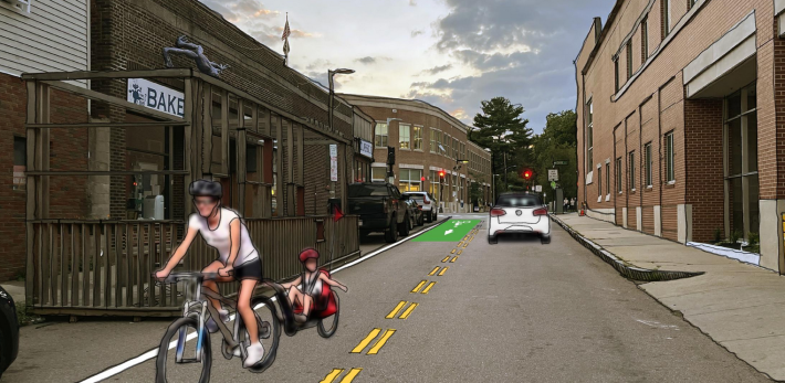
There are currently a number of protected bike lane projects that are actively under construction, including a 0.8-mile traffic calming project that includes separated bike lanes on Tremont Street in the South End, a reconstruction of Ruggles Street in Roxbury, and a two-way separated cycletrack on Massachusetts Avenue between Melnea Cass Boulevard and Columbia Road in Dorchester.
Last Friday, the Boston Transportation Department also installed a new "pop-up" protected bike lane on Boylston Street in Back Bay as part of the city's strategy to facilitate increased bike traffic during the Orange Line shutdown:
Stay in touch
Sign up for our free newsletter