Header image that reads "Streetsblog Mass" in white and black letters, on a yellow background
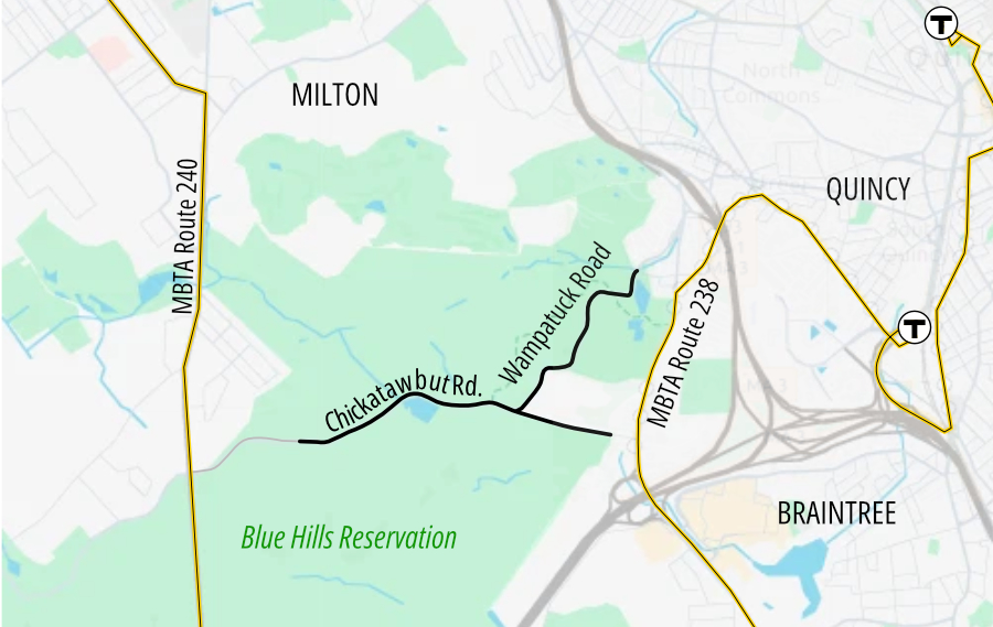
A map of the Blue Hills Reservation with the City of Quincy labelled to the east (right). Two yellow lines run generally north-south on either side of the map: the 240 in Milton (left) and the 238 in Quincy (right) with connections to the Red Line. In the middle are two squiggly lines representing Chickatawbut Road, which runs generally east-west, and Wampatuck Road, which intersects Chickatawbut Road near the center and runs to the northeast into Quincy.

DCR Pilots Car-Free Roads In Blue Hills Reservation This Weekend

Read More
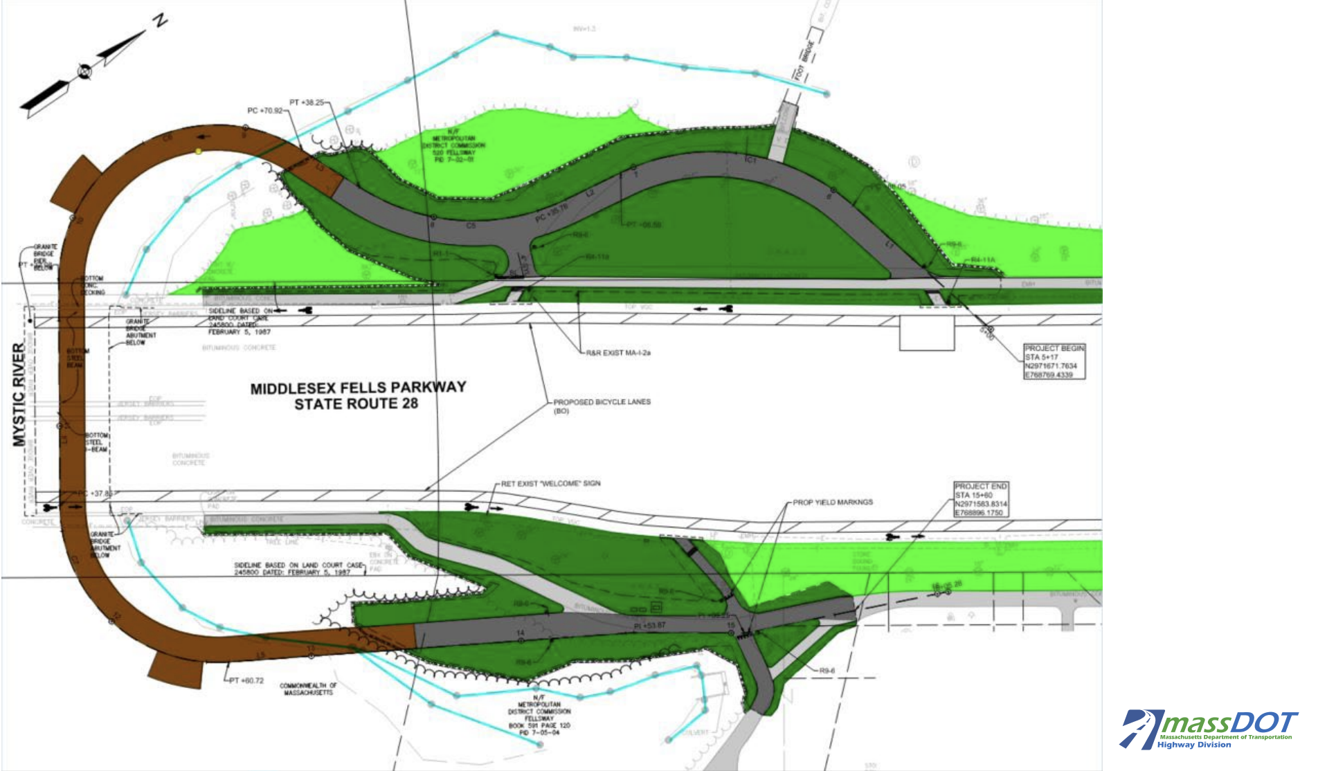
A colored sketch plan of a new bike trail that will run under the Route 28/Wellington Bridge (center, running horizontally through the image). The trail consists of a boardwalk (in brown) that runs over the water and under the bridge, pictured at the left of the image in a wide 'C' shape. The boardwalk connects to a network of pathways on either side of the bridge, pictured as thick grey lines at the top and bottom of the image.

DCR Begins Construction On A New Riverfront Path Connection Near Wellington

Christian MilNeil

Construction is expected to continue through the spring of 2028.

Read More

Support our nonprofit journalism: donate to StreetsblogMASS

Copyright © 2026 StreetsblogMASS, all rights reserved unless otherwise specified.
You are receiving this email because you opted in via our website.

LiveIntent Logo AdChoices Logo