Header image that reads "Streetsblog Mass" in white and black letters, on a yellow background
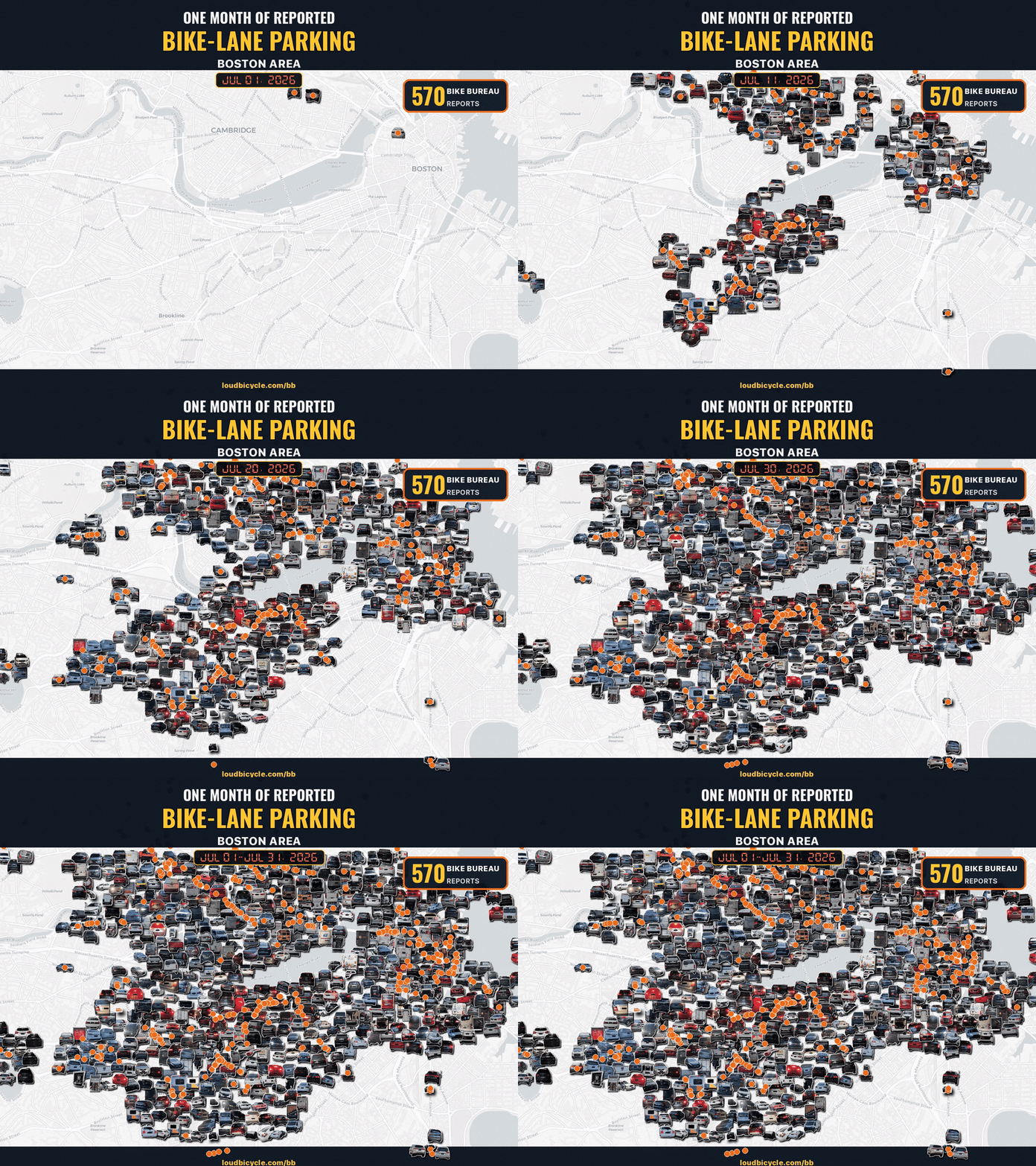
A map of northern Boston and Cambridge with an animated overlay of small icons consisting of photos of illegally-parked cars that pop up and spread in thick clusters across the map over the course of the loop. A timer in the upper center of the map depicts the date of each infraction, starting at July 1 and ending in July 31.

Fed Up With Blocked Bike Lanes? 'Bike Bureau' Wants to Let City Hall Know It

Sunny Ramos

Read More

Thursday’s Headlines Take Their Sweet Time

Blake Aued

Democrats are catching on to the fact that the Trump administration isn’t a big fan of transit.

Read More
Support our nonprofit journalism: donate to StreetsblogMASS

Copyright © 2026 StreetsblogMASS, all rights reserved unless otherwise specified.
You are receiving this email because you opted in via our website.

LiveIntent Logo AdChoices Logo