Header image that reads "Streetsblog Mass" in white and black letters, on a yellow background
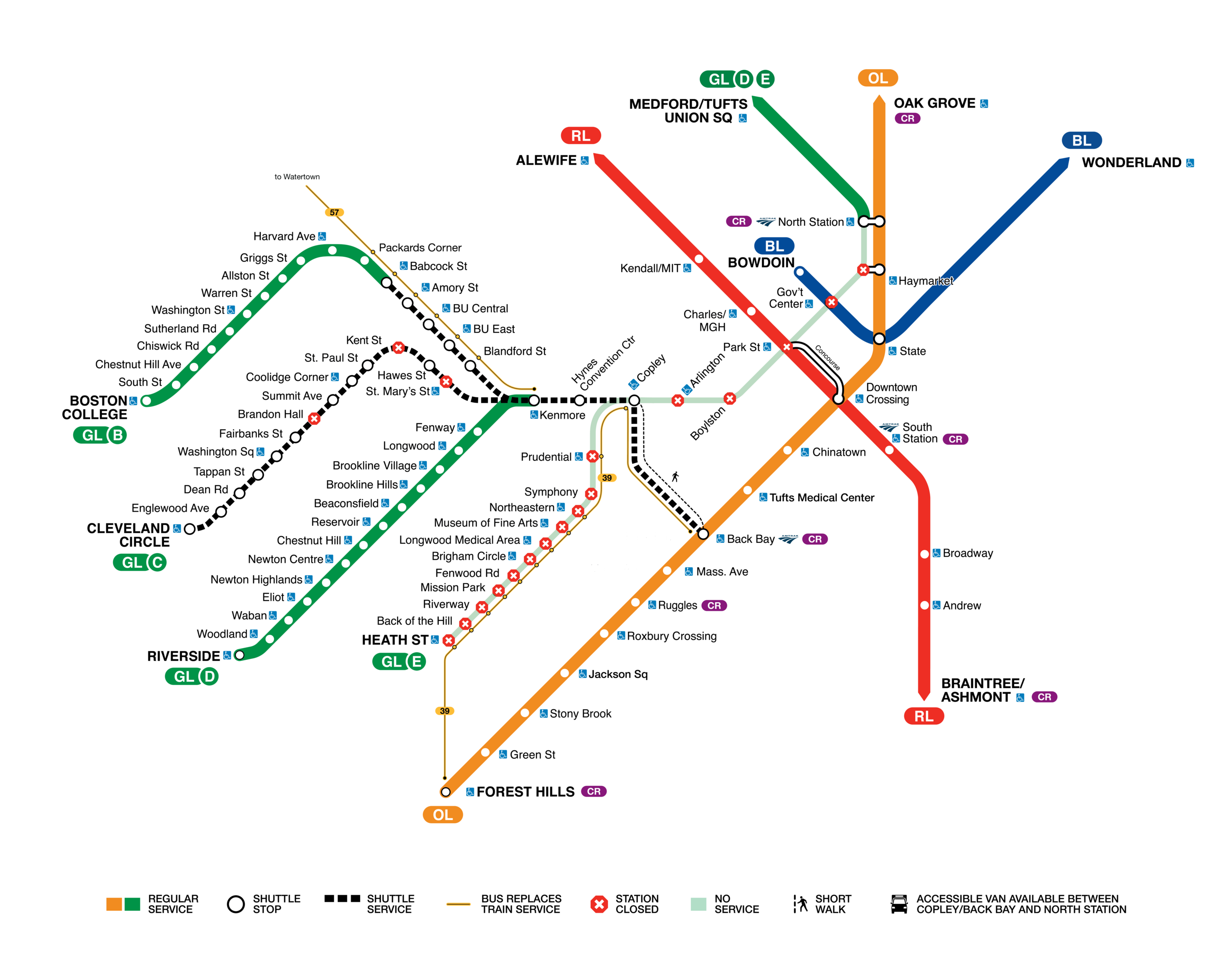
A map of the MBTA showing closed stations during an upcoming closure. Most of the Green Line's central stops, from Haymarket to Arlington, are marked with red Xs, indicating closure with no shuttle service. A black line indicating bus shuttles to replace train service runs from the Back Bay Orange Line station to Copley Green Line station, then continues along the B branch to Babcock Street and along the C branch to Cleveland Circle. The D branch will remain open between Riverside and Kenmore, and north of North Station to Medford/Tufts and Union Square. The B branch will remain open west of Babcock.

Your Green Line Station Will Probably Be Closed From Saturday Through August 16

Christian MilNeil

The closure will also complicate access to Fenway Park, where the Red Sox are hosting two games against the Athletics this weekend, and where Chris Stapleton is playing two concerts next weekend.

Read More
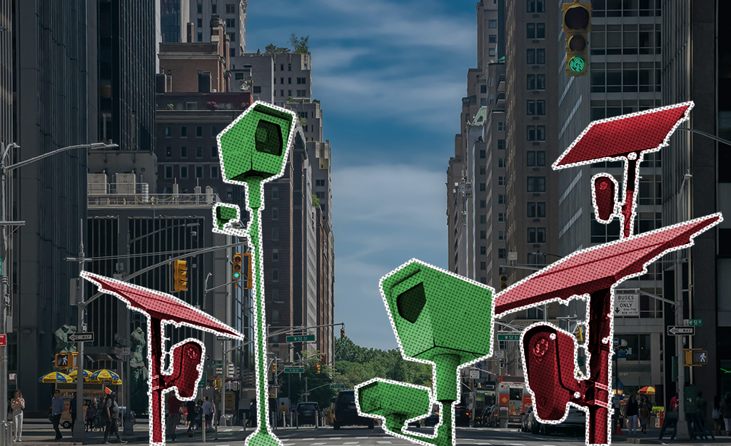
A cityscape with a montage of surveillance cameras colored in bright red and green

Guest Column: For Privacy Advocates, License Plate Readers Are A Bigger Threat Than Carefully-Regulated Speed Enforcement Cameras

Kade Crockford

Traffic enforcement cameras do not pose the same threats to privacy as license-plate-reader surveillance, which is already in widespread use in Massachusetts.

Read More
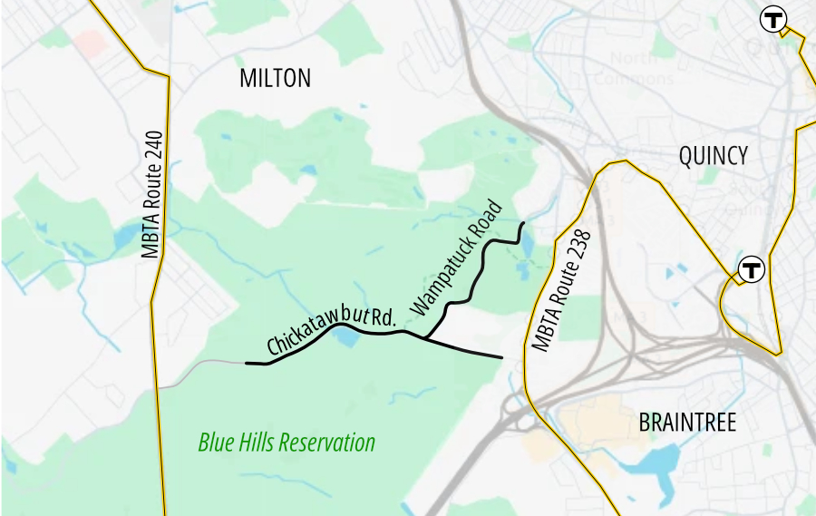
A map of the Blue Hills Reservation with the City of Quincy labelled to the east (right). Two yellow lines run generally north-south on either side of the map: the 240 in Milton (left) and the 238 in Quincy (right) with connections to the Red Line. In the middle are two squiggly lines representing Chickatawbut Road, which runs generally east-west, and Wampatuck Road, which intersects Chickatawbut Road near the center and runs to the northeast into Quincy.

DCR Pilots Car-Free Roads In Blue Hills Reservation This Weekend

Read More

Report: Building More Homes Reduces Overall Driving

Ren Zaro Fitzgerald

Building more homes will get cars off the road, but where they’re built matters.

Read More
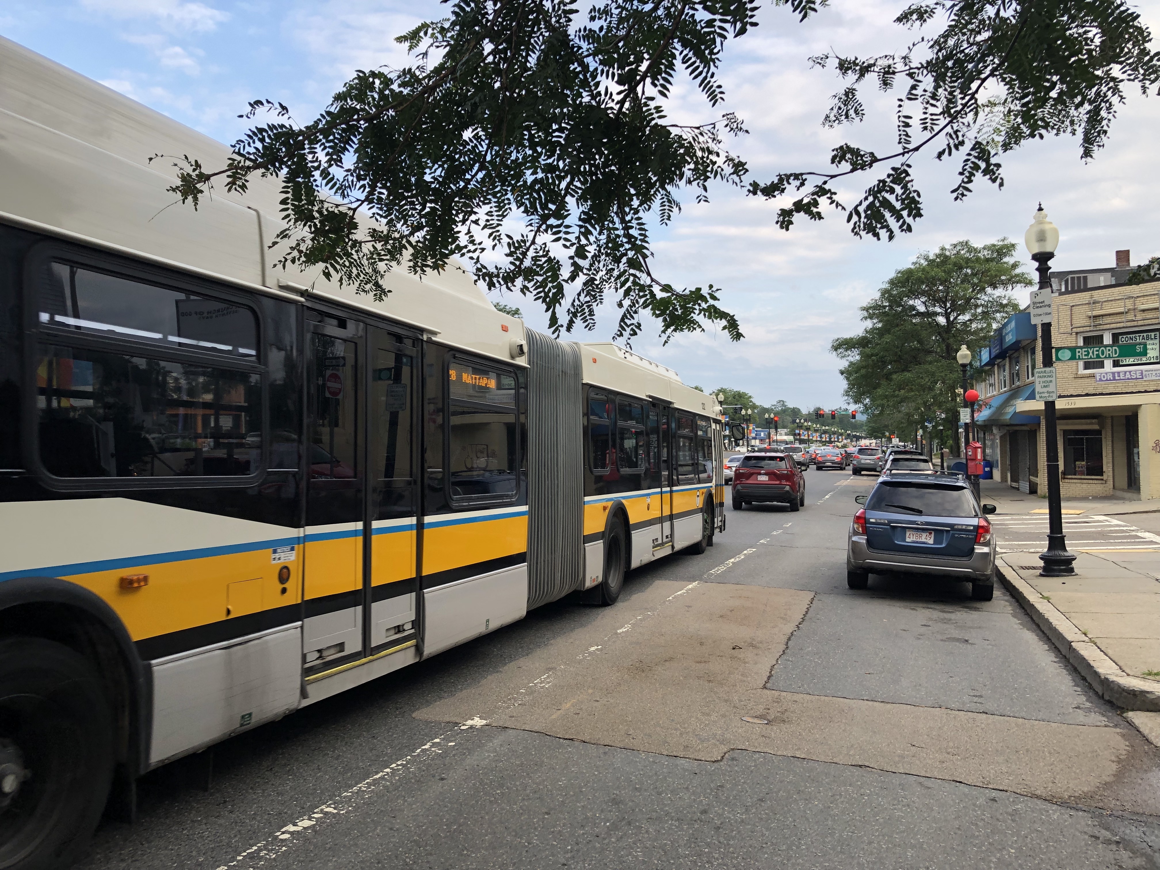
An extra-long articulated bus in the white, yellow, and black MBTA color scheme waits in traffic on a wide multi-lane street with a red light in the distance. An electronic sign in a side window of the bus says "28 MATTAPAN." A street sign on the left says "Rexford Street".

Mayor Wu and MBTA Announce Compromises and Another Round of Meetings for Blue Hill Ave. Project

Christian MilNeil

In a significant bid to patronize car owners, the project’s proponents are now promising “a net increase in parking” alongside a proposed dedicated busway along Blue Hill Avenue in Dorchester and Mattapan.

Read More

Gove Gone, Osgood In: Mayor Wu Shakes Up Streets Cabinet Leadership

Mayor Wu is shaking up the leadership in her Streets Cabinet in the aftermath of last month’s homicide of Louisa Gag, who was killed by a truck driver while riding her bike in Mission Hill.

Read More
Support our nonprofit journalism: donate to StreetsblogMASS

Copyright © 2026 StreetsblogMASS, all rights reserved unless otherwise specified.
You are receiving this email because you opted in via our website.

LiveIntent Logo AdChoices Logo