MassDOT Board Approves $79 Million Contract to Start Building Mystic River Bike and Pedestrian Bridge by Christian MilNeil
September 23, 2026 MassDOT expects the construction project to last about three years.
In the Midst of A Reelection Campaign, Gov. Healey Proposes $120 Million Tax Cut For Drivers and Oil Companies by Christian MilNeil
September 23, 2026 The Governor’s office estimates that the proposal would reduce the state’s Fair Share funding for transportation and education investments by approximately $120 million.
Westfield Breaks Ground On Downtown Traffic-Calming Project by Christian MilNeil
September 22, 2026 The City of Westfield is installing traffic-calming improvements on one of its most dangerous downtown streets.
Tuesday’s Headlines Are a Speed Trap by The Editorial Team
September 22, 2026 There’s a downside to enforcing traffic laws when cities do it to raise revenue rather than to save lives.
Brookline Transport Board Endorses Chestnut Hill Ave. Redesign With Protected Bikeway by Christian MilNeil
September 21, 2026 The redesigned Chestnut Hill Avenue would create a new two-way protected cycle track between Cleveland Circle and Boylston Street/Route 9.

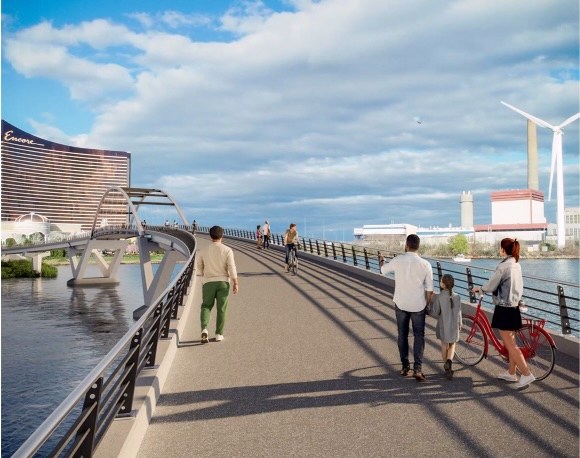 MassDOT expects the construction project to last about three years.
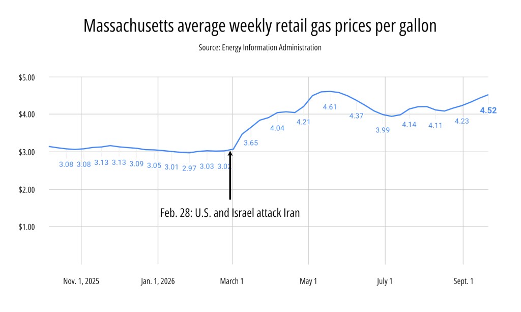 The Governor’s office estimates that the proposal would reduce the state’s Fair Share funding for transportation and education investments by approximately $120 million.
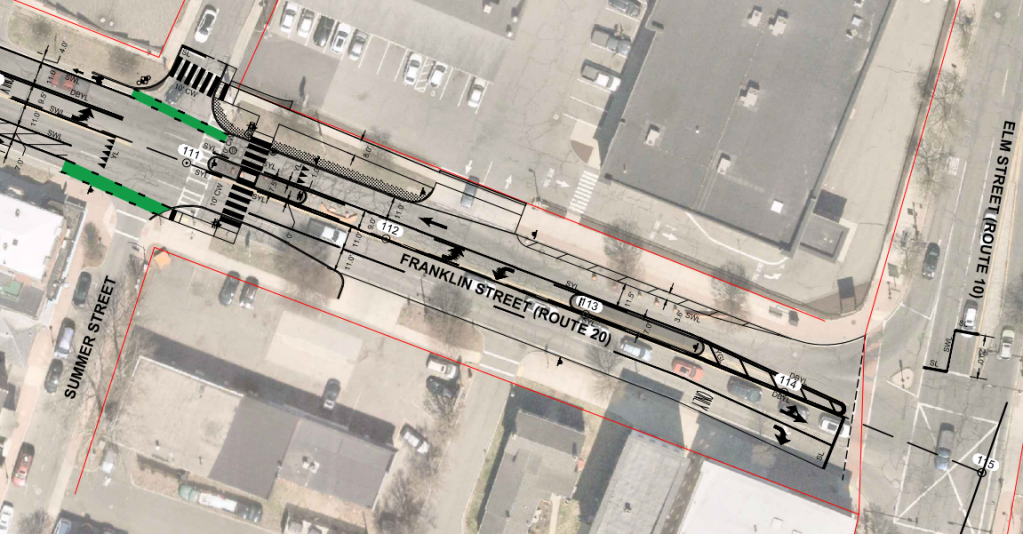 The City of Westfield is installing traffic-calming improvements on one of its most dangerous downtown streets.
 There’s a downside to enforcing traffic laws when cities do it to raise revenue rather than to save lives.
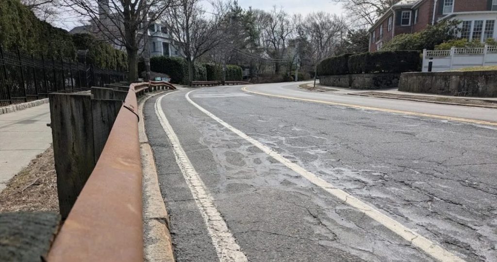 The redesigned Chestnut Hill Avenue would create a new two-way protected cycle track between Cleveland Circle and Boylston Street/Route 9.