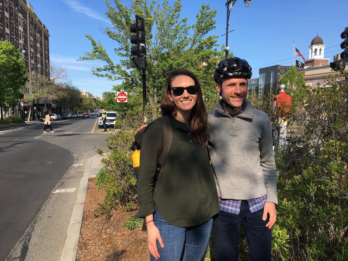
Earlier this month, on a beautiful Saturday morning, a group of Brookline neighbors who have been organizing as the "Friends of the Beacon Street Bridleway" laid a strip of tape along the pavement and invited people to experience, for the first time in decades, a car-free "bridle path" in the middle of Beacon Street.
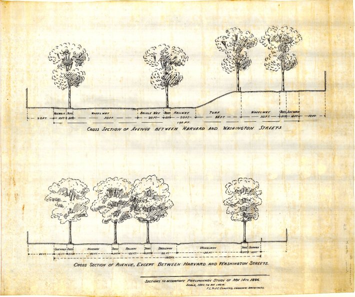
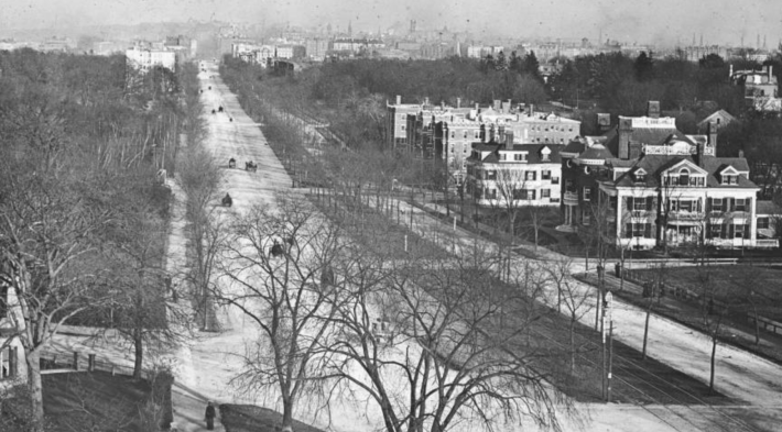
The Brookline section of Beacon Street runs between Audubon Circle and Cleveland Circle and was originally designed by Frederick Law Olmsted, Sr. in the mid-1880s as a centerpiece avenue for the urban development of Brookline. His design, which remains largely intact today, included a landscaped median for streetcar tracks (which would later become the C branch of the Green Line), broad sidewalks, and allées of trees running along the curbs and on either side of the railway in the middle of the street.
The 19th-century Beacon Street also included a 20 foot "bridle way" for horseback riding in the shade of the trees along the streetcar tracks. At some point in the 20th century, though, as Brookline's horse population dwindled, that bridle way was repurposed as an unusually wide parking area for cars.
Luckily, there is more than enough room to fit both a protected bicycle and pedestrian path alongside the existing parking stalls, simply by compressing the wide parking and motor vehicle lanes and moving them away from the historic bridle path.


And with some green tape, this is the street design they implemented in a proof-of-concept demonstration on Saturday, May 18th. Note how there's still plenty of room for car parking in the photo below:
Imagine the @BeaconBridleway! #Brookline #bridleway #biking pic.twitter.com/nghE9iiUzi
— Aviva Fields (@AvivaMB) May 18, 2019
Jules Milner-Brage, one of the organizers of the Friends group, considers the bridleway project a high-impact, low-cost project. "Unlike other bike lane projects, we don't need to get into arguments over parking here," he says. "There's plenty of room for both."
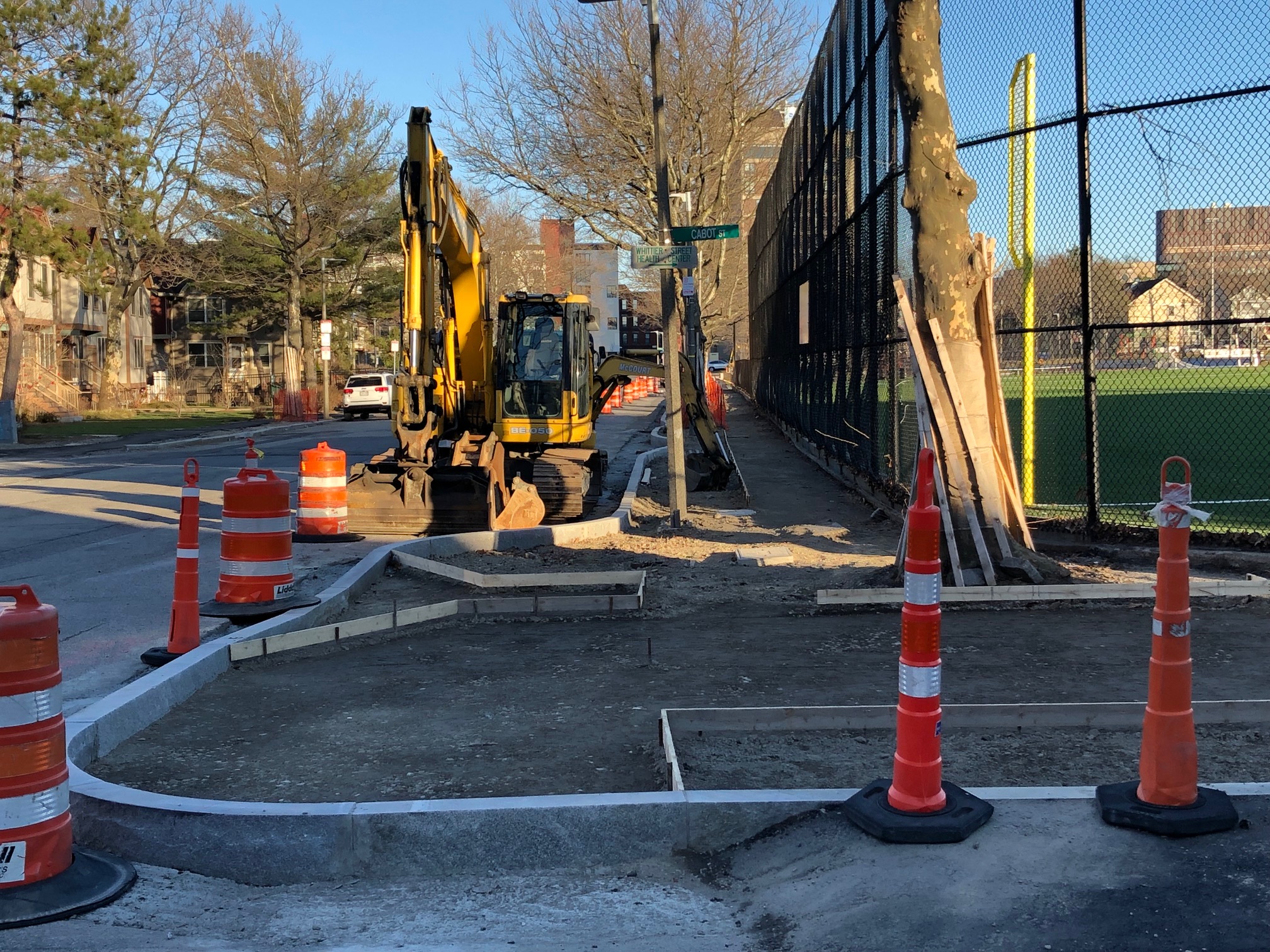
While it may be relatively simple to make space for a separated multi-use pathway in the middle of Beacon Street's blocks, where the car parking is, there are some more complicated design decisions that remain to be made near the street's intersections with cross-streets, where turn lanes, crosswalks, mature trees and Green Line platforms encroach on the historic bridleway.
Elena Huisman, who helped organize the demonstration event and also serves on Brookline's Bicycle Advisory Committee, says that the next step is getting a commitment from Brookline's town administration to fund a more detailed design study.
"We created a lot of awareness and political will" with the event, says Huisman. "We want to continue to drum up the energy, get people to email town officials and ask them about timelines and progress."
Milner-Brage agrees. "There seems to have been a transition now from a question of whether we can do this, to a question about how it's going to work."
Last year, Brookline's Town Meeting passed a warrant article requiring the town to come up with funding and scope of work for a more detailed feasibility study for the path sometime next year. With support from town staff, that study could lead to a construction project a few years later.
