Cambridge (Finally) Announces Citywide Shared Streets Network to Facilitate Safe Physical Distancing
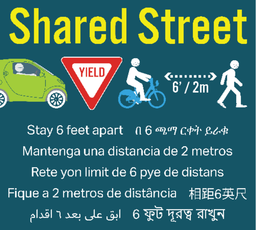
Over a month since elected officials requested city staff to close city streets to non-essential traffic to give car-free residents more space to physically distance on city streets, city officials have finally come forward with a plan to do so by mid-June.
Joe Barr, Director of the Cambridge Traffic, Parking, and Transportation Department, presented the city’s plans during a special meeting of the Cambridge City Council on Thursday afternoon.
“The main specific proposal that we’d like to start implementing in the middle of next month is a set of three shared streets, that would more or less provide some connections across the entirety of the city,” Barr told the City Council.

The routes are still being fine-tuned and are subject to feedback from community groups and businesses, but the conceptual network would extend “all the way from Fresh Pond and Danehy Park, through Harvard Square and down towards Kendall Square… with another piece running down from Central Square to the river along Magazine Street.”
Related:
Mayor Walsh Announces Details of New ‘Healthy Streets’ Initiative
Barr said the streets in the proposed network connect key destinations, generally avoid bus routes, and had been previously identified as routes in the city’s bike plan. The streets would remain open for low-speed access for local residents to access their driveways, and for delivery and delivery vehicles, but closed to through-traffic for drivers.
Barr said that city officials are also examining sidewalk widths in key locations, particularly around busy transit stops like Central Square, to evaluate whether sidewalks and waiting areas need to be expanded into on-street parking or travel lanes.
City councilors had also made a request for the city to work with the Department of Conservation and Recreation (DCR) to close Memorial Drive to non-essential car traffic in order to provide more space for people along the city’s riverfront.
When Vice-Mayor Alanna Mallon asked about the status of that effort, City Manager Louis D. DePasquale answered that he had “reached out to DCR this week to start those discussions.”
While Barr was delivering his presentation, Mayor Marty Walsh announced the details of a new “healthy streets” initiative for the City of Boston, which will focus on creating a network of high-comfort protected bike lanes downtown, expanding high-ridership bus stop waiting areas, and expediting outdoor dining for restaurants.

Read More:
Streetsblog has migrated to a new comment system. New commenters can register directly in the comments section of any article. Returning commenters: your previous comments and display name have been preserved, but you'll need to reclaim your account by clicking "Forgot your password?" on the sign-in form, entering your email, and following the verification link to set a new password — this is required because passwords could not be carried over during the migration. For questions, contact tips@streetsblog.org.