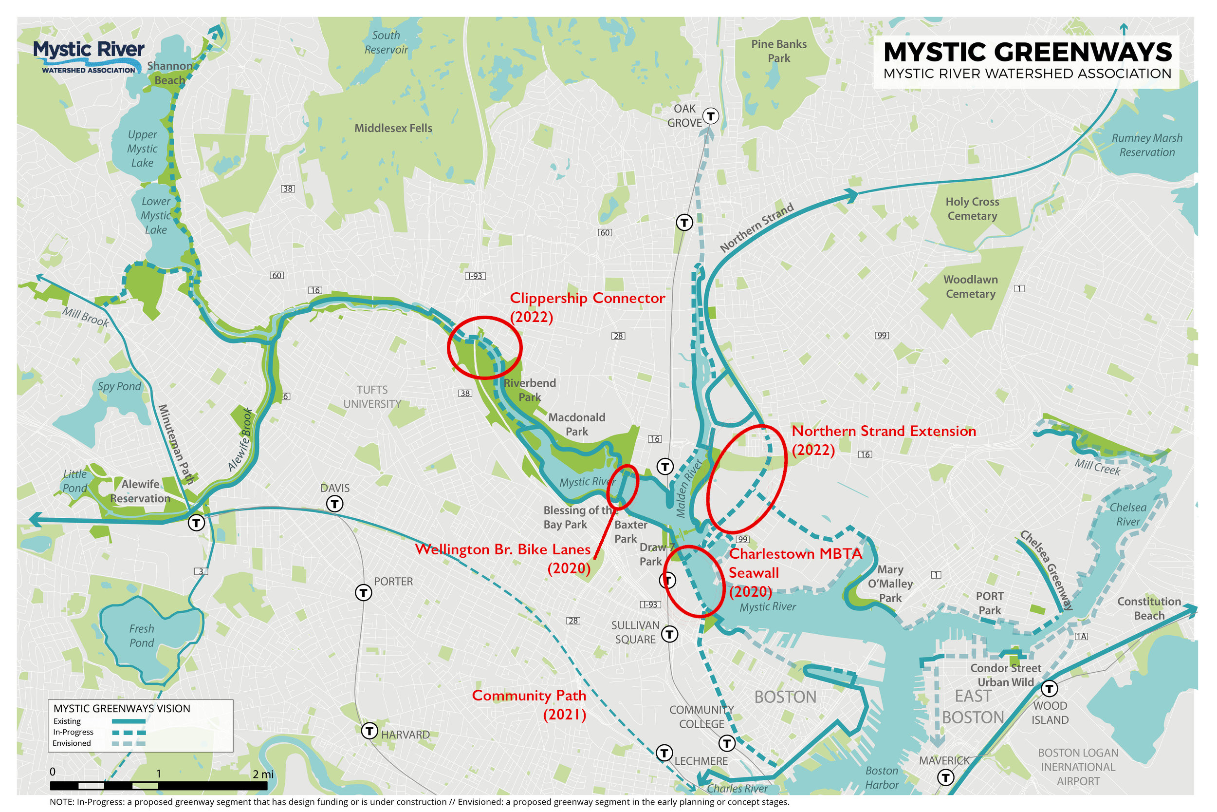
On Monday evening, the Massachusetts Department of Conservation and Recreation (DCR) presented their near-final plans for the "Clippership Connector," an off-street pathway that will extend half a mile from downtown Medford to Riverbend Park and complete a crucial missing link in the network of Mystic River waterfront greenways.
The path, which could go under construction next summer for completion in spring 2022, would follow the northern bank of the Mystic River from Clippership Park in downtown Medford, cross under Interstate 93, and connect to the existing Riverbend Park path network behind Andrews Middle School.
The northern riverbank in downtown Medford is densely developed, and because DCR does not control all of the waterfront property in the area, the proposed path design threads around existing buildings and parking lots with several tight turns. Where possible, the path will be 10 feet wide, but it will narrow to a 8.5-foot cross section in many locations.
Several commenters at Monday's online hearing expressed concern about the narrowness of the proposed pathway. Dan Driscoll, presenting the design for DCR, acknowledged that there had been "a lot of discussion" about the width.
"We feel like 10 feet of hard surface is the right balance to protect trees and the ecological elements... I would agree that (8.5 feet) is a little tight, but bicyclists can still pass each other safely. You wouldn't want to be going at a high speed – you need to be aware that there are other users, and people are generally respectful of that," said Driscoll.
The Clippership Connector project will connect to a growing network of pathways along the Mystic River, where several other trail projects are in the works.
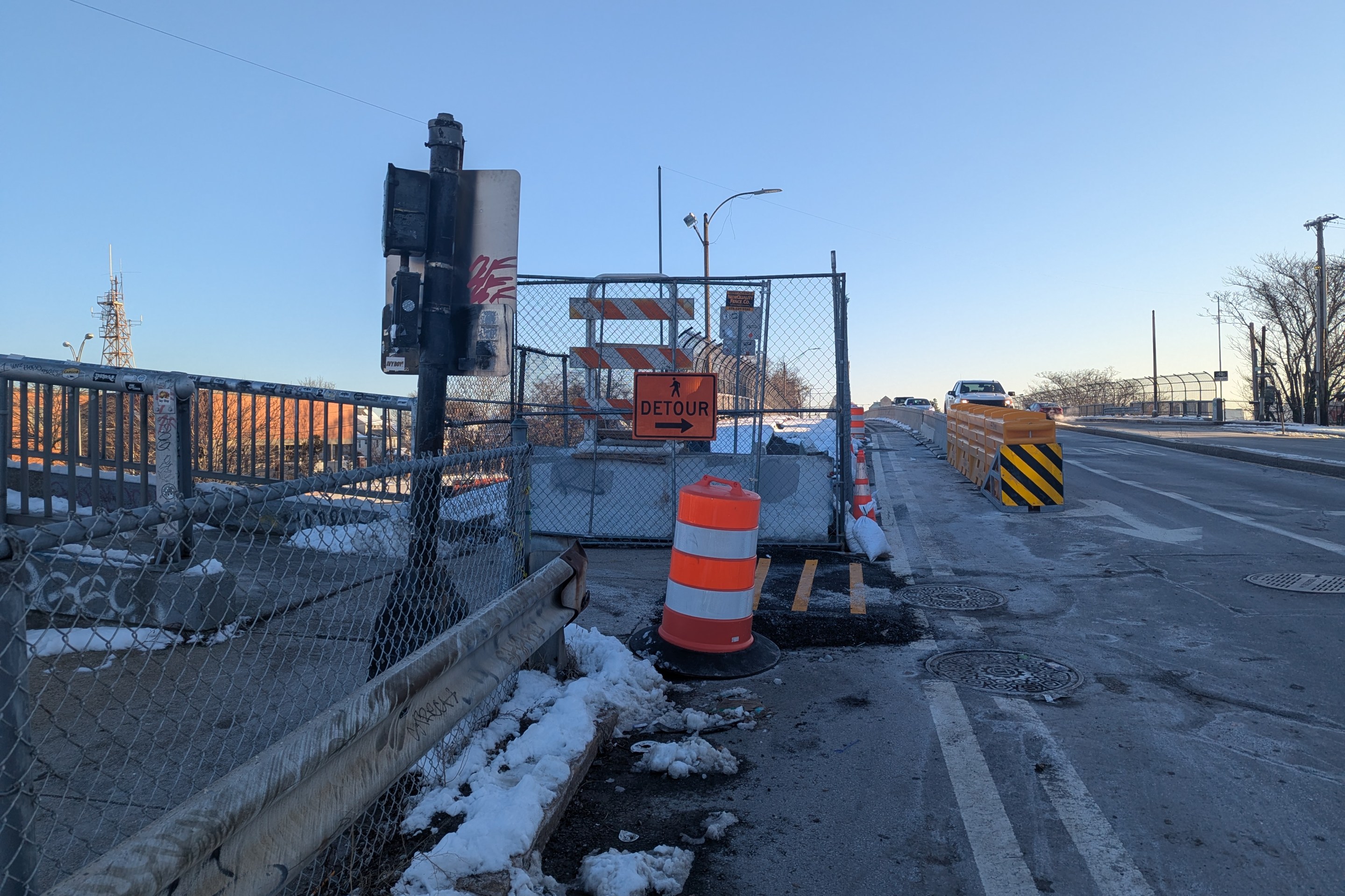
As we reported a few weeks ago, the cities of Medford and Somerville are also collaborating on a quick-build project to create protected bike lanes across the Wellington Bridge this fall. That bridge connects the Riverbank Park trail network on the northern bank of the Mystic to Assembly Square in Somerville, on the southern bank.
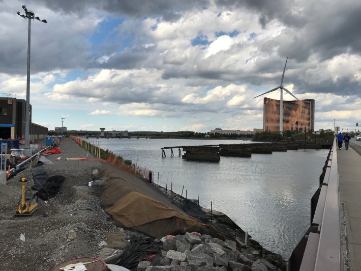
Further south, the southern bank's waterfront path currently dead-ends in Draw Seven Park at the edge of the MBTA's Charlestown bus garage, where the MBTA is undertaking a major riverbank stabilization project.
That project is nearly complete, and one of the finishing touches will be a new 10-foot pathway that will connect the Assembly area with Sullivan Square.
