Many park users are still unaware of it, but for the past two years, the City of Boston has been formulating a new master plan for Franklin Park, and the planning team expects to release its recommendations to revitalize the city’s largest public park later this year.
The Franklin Park Action Plan kicked off its first Community Workshop back in 2020, the first in a series of various outreach events including themed group discussions, mini-polls, public workshops, and a survey.
The project team says that they’ve received over 6,000 community comments so far.
“The team’s goal is to understand the planning efforts that have come before it, what is working and isn’t working in the park, and what the Franklin Park neighborhood wants to see in the future,” according to a website dedicated to the project at franklinparkactionplan.com.
The project is now in the fifth and final “taking action” phase, in which the planning team will propose a framework to prioritize and fund improvement projects.
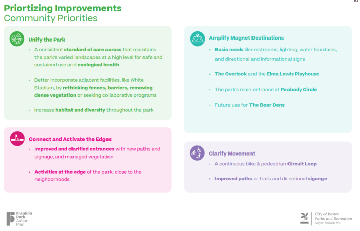
The master plan’s design concept revolves around four “Big Ideas”: Unify the Park, Amplify Magnet Destinations, Clarify Movement, and Connect and Activate the Edges.
With the last of the community workshops now behind us and the project in its final phase, I headed to the park to hear from folks about the ways they take advantage of the park, and what they thought of the city’s plans.
I spoke with Ryan Sullivan, a manager for musician Mia Asano, who lives in Dorchester and was chatting with other musicians near the Playstead. The group has been using the park as a spot to record their latest music video.
"We came here specifically because it's a nice park. It's a very unique park compared to other areas, because of the stone structures and the paths and stuff. It's very aesthetically beautiful. And we actually came here to shoot two music videos. We've been shooting here for the past couple of days. The park really resonates with the themes of the music video.”
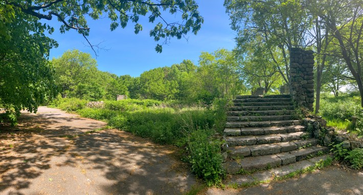
“There's areas around here that, especially where the ruins are – it's overgrown and it would be beautiful,” Sullivan added. “It would be a great spot to put a show on, a performance, or just have people come to it. So there's a lot of little rare gems here that if they just put a little bit of effort into the landscaping and getting out all the poison ivy, it would be unbelievable."
Ryan hadn't heard about the city's master planning process, but when told that the city had budgeted $28 million to revitalize the park, Sullvian responded, “Specifically for here? For this park? Oh shit! That's awesome!"
Although Ryan didn’t get a chance to share his input at one of the earlier outreach events, plenty of his neighbors have similar values for the park. Culture, arts, and music are one of the 10 interest types identified from the community-led decisions by the project team, and The Overlook Ruins are listed as one of the plan’s “Magnet Destinations” and fall under “Immediate Maintenance Priorities.”
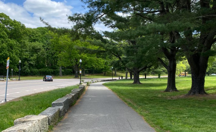
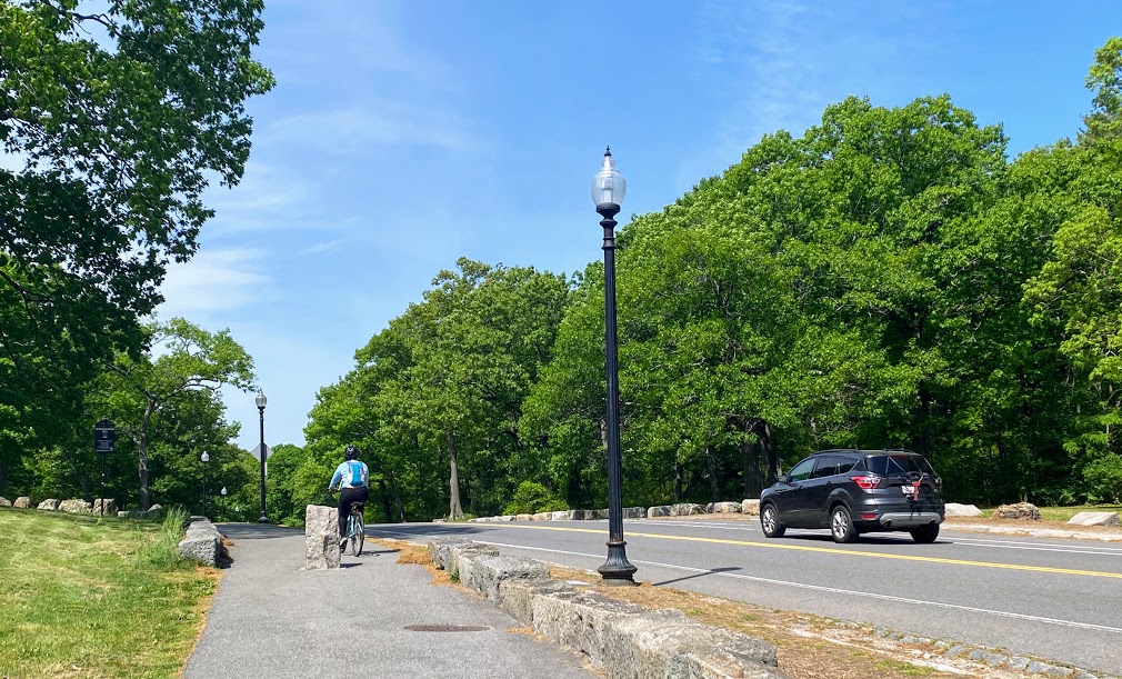
I also met Donaiyah and Teneal, two cousins out on a morning walk together on the path along Circuit Drive. They also hadn’t heard anything about the city’s plans.
“Yeah, we started (coming here) with family events, they used to have cookouts and stuff out here, but you know, as cousins we come out here to work out too,” said Teneal.
“And bond,” added Donaiyah.
In the latest project update on May 17th, the project team shared one of the featured implementation projects is “Incremental pathway improvements to connect and complete the existing multi-modal circuit loop path" along Circuit Drive.
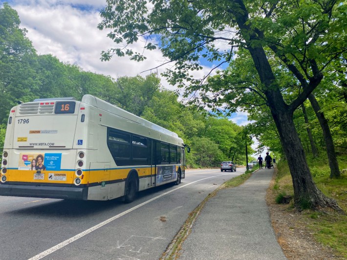
Earlier iterations of the plan had been more explicit about banning motorized traffic from the central portion of Circuit Drive, which divides the park in half, in order to prioritize the safety of pedestrians, bikes, wildlife, and other park users.
When StreetsblogMass reached out to the Boston Parks and Recreation Department to ask if that’s still part of the city’s plans, a spokesperson said that “the major plan recommendation is to make Circuit Drive a more integral, safe, multi-modal way that invites and supports park use. This can be achieved incrementally through traffic calming, improved crossings, safer bike infrastructure, or closing a portion of Circuit Drive to cars altogether.”
“We hope to be able to continue to work with the community to explore these ideas and see what fits best,” the spokesperson added.
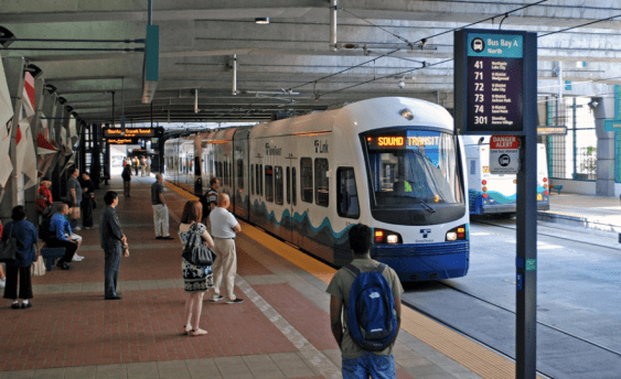
Opening up the central portion of Circuit Drive for recreation and non-motorized transportation could, however, be at odds with elements of the MBTA’s new Bus Network Redesign, which proposes using the roadway for one of its new “frequent-service” routes.
If implemented, the buses on the proposed “T16” route (which follows the same route of the existing 16 bus) would use Circuit Drive as a shortcut between Blue Hill Avenue and Forest Hills every 15 minutes or less in each direction, 20 hours a day, 7 days a week.
“The MBTA routes will require further analysis. We are aware of the MBTA's Bus Network Redesign effort,” said a Parks Department spokesperson.
The Franklin Park Action Plan is scheduled to be released later this summer, and will solicit one more round of public comments this fall.
Learn more and view previous meetings: https://franklinparkactionplan.com/
If you're interested in more park plans, the Open Space and Recreation Plan survey is open until May 31st and helps determine action items for the next seven years for all City of Boston parks.
