Waltham Begins Construction On 2.7-Mile Segment of Mass. Central Rail Trail
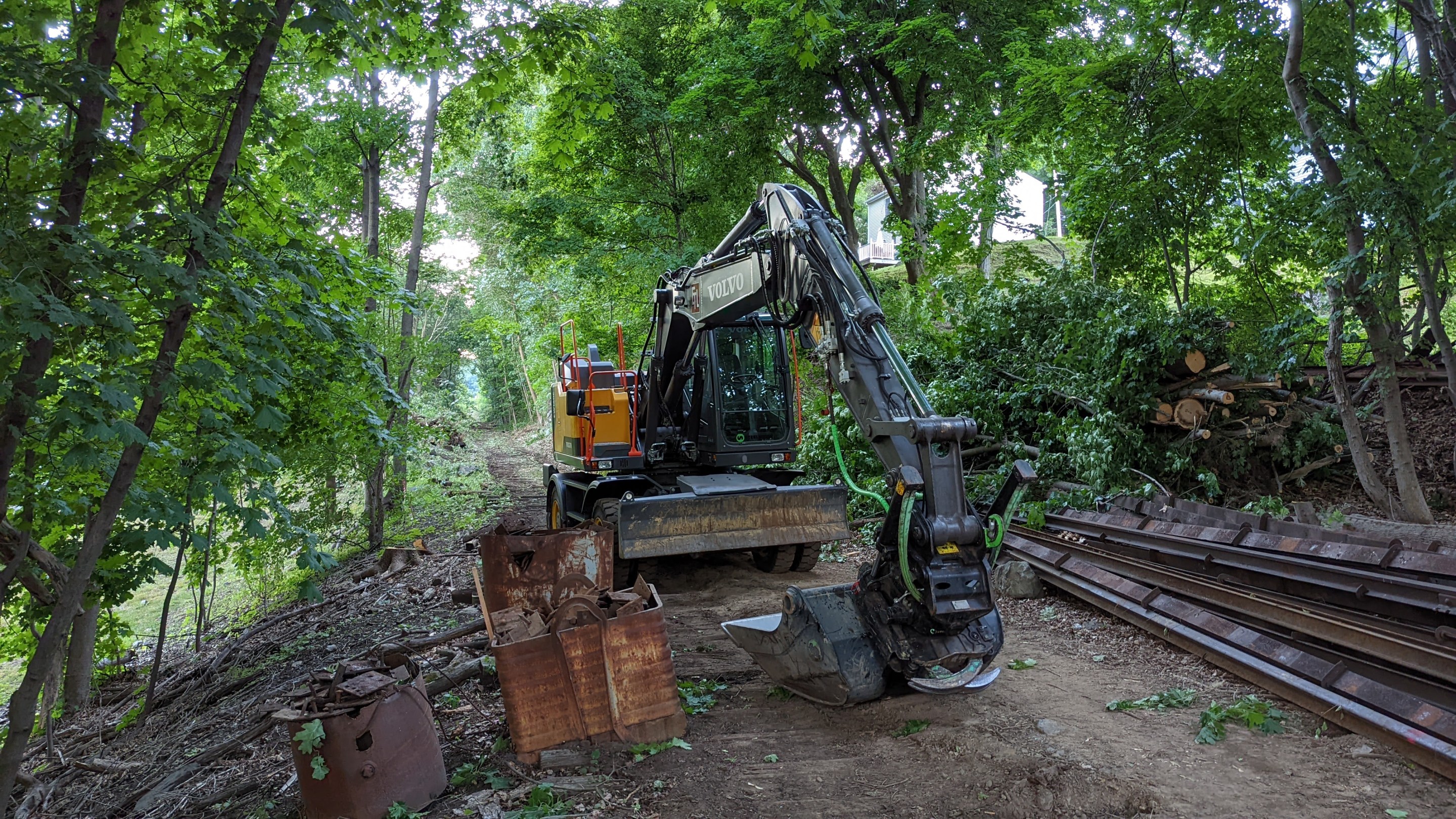
Construction work is underway on the new Mass. Central Rail Trail corridor in Waltham. Photo by David Loutzenheiser.
The City of Waltham has started construction on a 2.7-mile segment of the Mass. Central Rail Trail that, when complete, will create an off-street, east-west route across most of the Watch City.
The project, known locally as the Wayside Trail, will upgrade the abandoned Mass. Central Railroad right-of-way, which skirts the north side of downtown Waltham on its path between Weston and Belmont, with a new paved shared-use pathway extending from the suburban office parks along Route 128 near the city's western boundary to Beaver Street near the campuses of Bentley University and the UMass College of Agriculture.
"Construction of the Waltham Wayside Trail has started and the city contractor ET&L and their subcontractors will be working within the Commonwealth of Massachusetts's right-of-way to complete this City project," according to a July 5 notice from the City of Waltham.
With the groundbreaking for this project, two major segments of the Mass. Central Rail Trail are currently under construction in the greater Boston region.
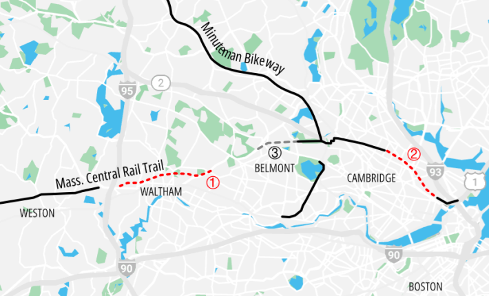
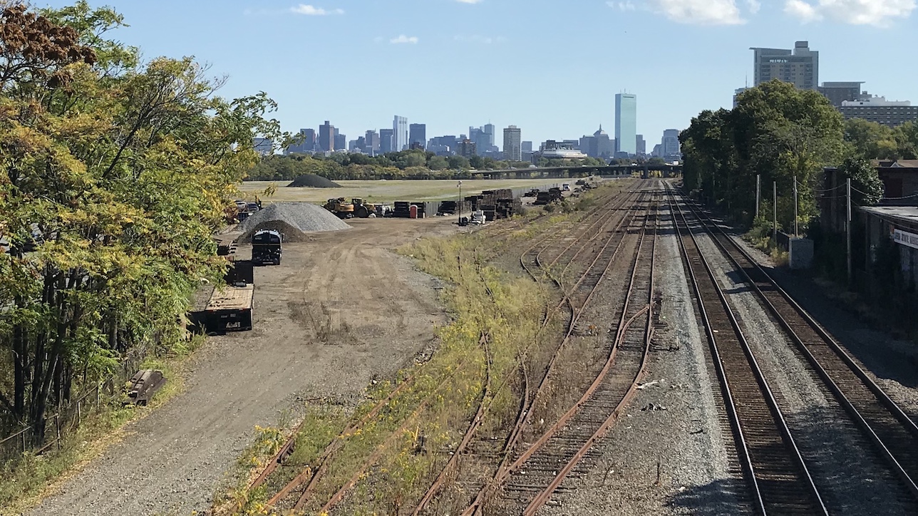
The other segment, the Somerville Community Path, is expected to open later this year after the completion of the Green Line Extension to create a continuous off-street path from the Belmont-Cambridge border to Paul Revere Park in Boston.
In between Waltham and Cambridge, the Town of Belmont is currently designing the first phase of its own Mass. Central Rail Trail segment, a project that could begin construction in 2026.
And a short distance to the west in the suburb of Weston, a 4.5 mile segment of the Mass. Central/Wayside Trail, between the Boston Post Road in Wayland to the Fitchburg Line commuter rail tracks, opened in 2019.
A small gap will remain between Weston's section, which ends about half a mile west of Route 128, and the current Waltham project, which will end one block east of the Route 128 highway. The Department of Conservation and Recreation is reportedly working on plans to fill that short gap; meanwhile, intrepid and able-bodied trail users can connect the two segments by using the abandoned railroad bridges over Route 128 and the MBTA Fitchburg Line (read Juliana Cherston's November 2021 travel guide for details).
Read More:
Stay in touch
Sign up for our free newsletter