Boston Kicks Off Planning to Redesign Columbia Road, A Lost Link In Its Emerald Necklace
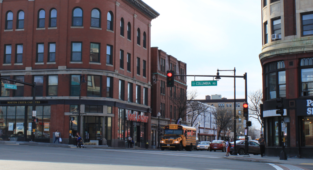
Mayor Wu’s administration is finally kicking off a formal planning process to redesign Columbia Road, a multi-lane roadway that slices through the heart of Dorchester.
The city is hosting a kickoff meeting next Thursday, May 2nd at the Grove Hall Library (details below) to share details of the project and start soliciting ideas from neighbors.
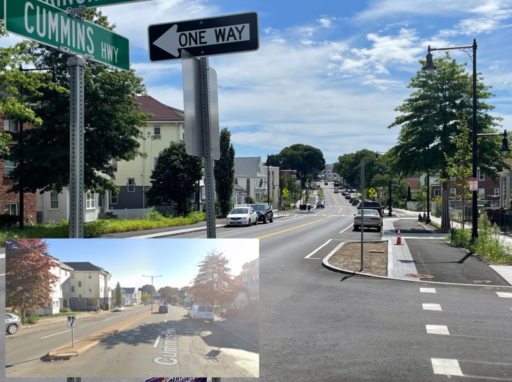
Reviving the ‘Dorchesterway’
The idea to redesign Columbia Road as a greener, safer street has been circulating for more than a century.
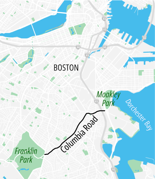
In 1897, the Olmsted brothers landscape architecture firm proposed turning Columbia Road into the “Dorchesterway,” a tree-lined parkway that would link Franklin Park to the beaches of Dorchester Bay.
In more recent history, the idea of a greener Columbia Road resurfaced in 2015 as part of the ill-fated Boston 2024 Olympics proposal.
The Olympics pitch went down in flames, but the idea of redesigning Columbia Road received a formal endorsement in the city’s GoBoston 2030 plan, adopted in 2017.
That document suggested that the redesigned Columbia Road could “preserve vehicle travel in both directions while consolidating the median, sidewalks, and wider areas into a context-sensitive linear park stretching from Franklin Park to Moakley Park.”
Redesign is officially underway
According to Xavier Lopez, the City of Boston’s project manager, the city is now starting that redesign effort in earnest.
City Hall recently signed a one-year contract to develop conceptual plans with a consultant team that includes project engineers from the Toole Design Group.
The contract’s scope also includes an extensive program of community engagement.
And in addition to developing a concept plan for a major reconstruction of the roadway, the city also wants to identify short-term improvements that it can make this year – things like refreshing crosswalks, fixing streetlights, and beautifying the street’s existing concrete median.
Lopez, the project manager, says that the city has three overarching goals for a redesigned Columbia Road.
One is to improve accessibility: “the existing design lends itself to private auto travel, but it’s not a welcoming environment for pedestrians or bikes or transit users,” Lopez told StreetsblogMASS.
Columbia Road carries the MBTA 16 bus, which runs between the Andrew Red Line station and Forest Hills at the end of the Orange Line. Under the T’s proposed bus network redesign, the 16 would get additional service as part of the T’s “high-frequency” network, which would make Columbia Road a likely candidate for new bus lanes and other bus-priority infrastructure.
Another goal of the redesign is to improve safety: Columbia Road is part of the city’s high-crash street network, which makes it a priority for safety improvements under the city’s Vision Zero policy.
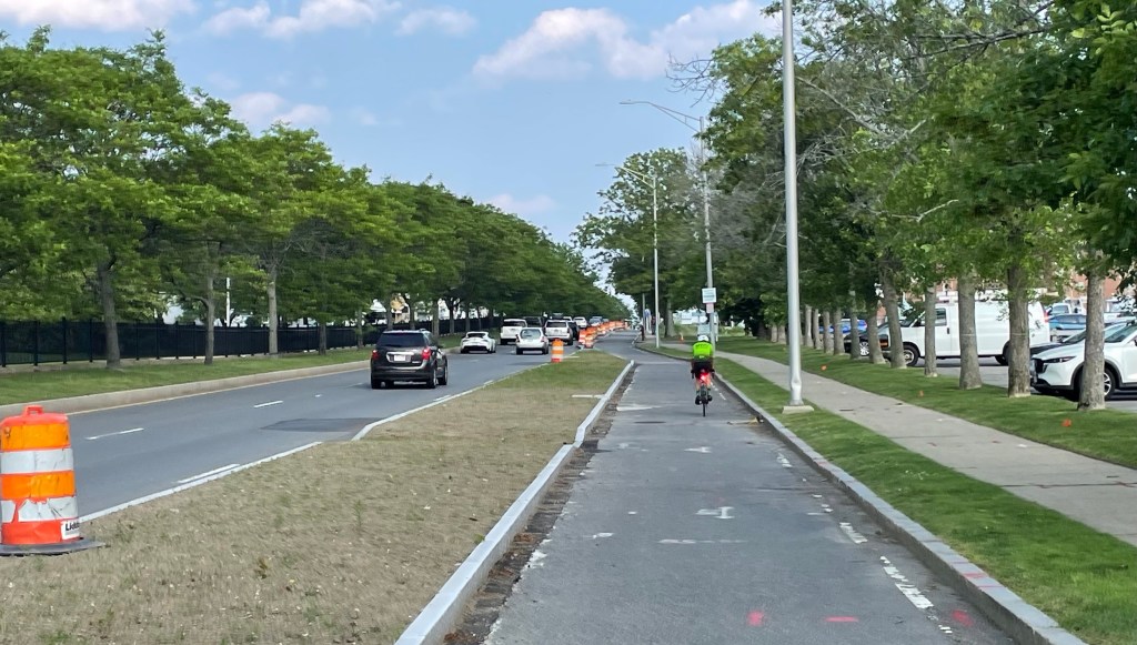
The third goal of the project is to make Columbia Road greener, as the Olmsted brothers had proposed more than a century ago. The existing street is a hundred-foot-wide field of asphalt, but planners see plenty of space to add trees that can bring more shade, and gardens that can absorb runoff from heavy rainstorms.
Vineet Gupta, the City of Boston’s Director of Transportation Policy and Planning, added that the Transportation Department is also interested in working with other city departments to ensure that the city’s improvements won’t dramatically increase neighborhood rents – something that has also been a major concern associated with the city’s plans to improve bus service on Blue Hill Avenue.
“We’re convening big interagency meetings to make sure that issues like gentrification and affordable housing are part of our projects,” said Gupta.
Event details: Columbia Road Transportation Action Plan Kick-off
Where: Grove Hall Library, 41 Geneva Ave. (near the Grove Hall Fairmount Line station or MBTA bus routes 16, 23, or 28)
When: Thursday May 2nd, 6 to 7:30 p.m.
Learn more: Columbia Road Transportation Action Plan project website
This story was updated on Friday April 26. Because of the editor’s error, the previous version reported the incorrect date for the project’s kickoff meeting.
Streetsblog has migrated to a new comment system. New commenters can register directly in the comments section of any article. Returning commenters: your previous comments and display name have been preserved, but you'll need to reclaim your account by clicking "Forgot your password?" on the sign-in form, entering your email, and following the verification link to set a new password — this is required because passwords could not be carried over during the migration. For questions, contact tips@streetsblog.org.