Dorchester Ave. Bridge Reopens to Pedestrian Traffic (But Still Closed to Cars)
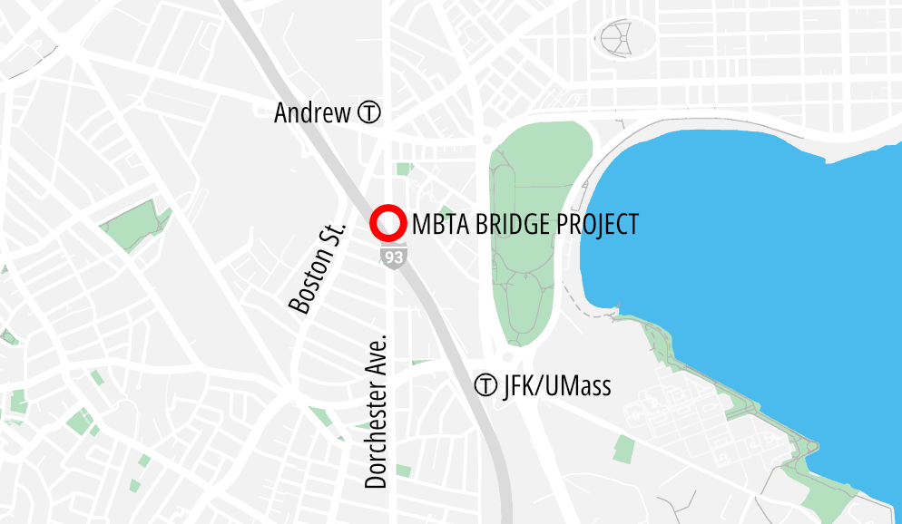
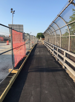
Managers for the MBTA’s ongoing Dorchester Avenue bridge replacement have re-opened the bridge sidewalk to non-motorized traffic, at least for a few months.
The bridge, a major bike and pedestrian connection into Dorchester, has been closed to all traffic since June 2022 while the MBTA prepares to replace the bridge over its Red Line and Old Colony commuter rail tracks.
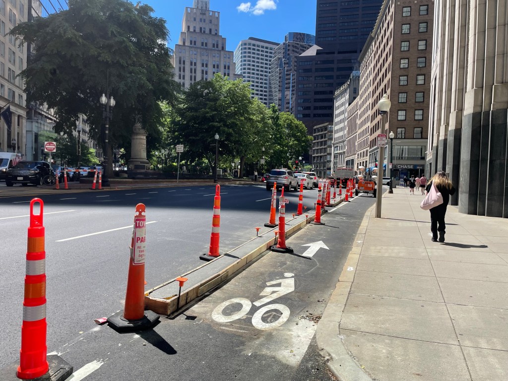
The temporary re-opening of the old bridge’s sidewalk offers pedestrians and bicycle users (who are expected to walk their bikes across the narrow bridge sidewalk) a shorter, calmer route over the tracks and Interstate 93.
Motor traffic is still prohibited on the bridge and being re-routed to Boston Street, one block to the west.
According to the MBTA’s project managers, the car-free route will only be available until the spring of 2024, when the old bridge will come down to make way for its replacement.
Streetsblog has migrated to a new comment system. New commenters can register directly in the comments section of any article. Returning commenters: your previous comments and display name have been preserved, but you'll need to reclaim your account by clicking "Forgot your password?" on the sign-in form, entering your email, and following the verification link to set a new password — this is required because passwords could not be carried over during the migration. For questions, contact tips@streetsblog.org.