Car Lanes Would Bust the Budget for Boston’s New Northern Avenue Bridge
Nine years ago, when it was still a vast plain of parking lots, planners imagined Boston’s Seaport neighborhood as the city’s future: a master-planned “innovation district” of tech companies, new housing options and signature public spaces along a revitalized waterfront.
Now that it’s largely built, few people call the Seaport an “innovation district” any longer. The neighborhood has drawn withering criticism for exacerbating Boston’s racial segregation and income inequality, and it’s already flooding from sea level rise.
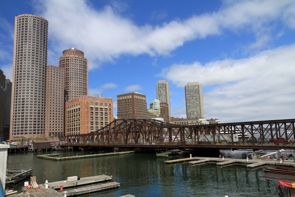
The city has already sunk billions of dollars in infrastructure spending to make the Seaport what it is today, but one big-ticket item remains as an opportunity to salvage some of the neighborhood’s original promise: a new Northern Avenue Bridge, which would link the Seaport near the Moakley Courthouse to the Rose Kennedy Greenway in downtown Boston.
City Hall now needs to decide whether that connection will be an innovative example of sustainable and successful urban mobility, or another high-cost, low-value expansion of Boston’s choking traffic jams. A public hearing on the proposed bridge options will be held next Monday, June 3 at 6:30 p.m. in the Seaport’s District Hall.
The current Northern Avenue Bridge (pictured above) was determined to be structurally unsound for car traffic in 1997, but continued to be functional as a bridge for bikes and pedestrians until 2014.
For the past six months, a task force of representatives from the neighborhood, the city, and various advocacy organizations has been meeting to determine what a replacement bridge might look like.
Pedestrian and transit advocates like the Boston Cyclists Union and the Livable Streets Alliance are advocating for a car-free bridge design, and citing well-established evidence that adding new road capacity would only make congestion worse throughout the Seaport and downtown.
Real estate developers, some of whom will contribute funding toward the new bridge, are nevertheless agitating for the new bridge to be wide enough to accommodate motor vehicle lanes.
At the city’s most recent bridge task force meeting, staff presented estimates for how much money different bridge options would cost. A bike and pedestrian bridge (which could be built as a 12-foot-wide shared use bridge, or a 24-foot-wide bridge with a separate bike path that could also be used by emergency vehicles) would cost from $40 million (for a 12-foot “basic” option) to $83 million (for a 24-foot, architecturally indulgent “contextual” design).
Adding vehicular lanes to the new bridge would add millions of dollars to the project cost. A 42-foot option that adds one lane for cars would cost $56 to $100 million, while a 56-foot option with two lanes available to motor vehicles would cost $65 to $110 million.
Task force member Stacy Thompson, executive director of the LivableStreets Alliance, says that only about $58 million in funding has been allocated for the bridge replacement. In late April, LivableStreets delivered an open letter to Mayor Walsh outlining a detailed list of concerns about the bridge’s planning process and lack of consideration for lower-cost alternatives.
“If we’re talking about buying a $100 million bridge, then the city will need to take funds out of other projects, or go after state funds,” says Thompson (disclosure: Thompson also serves on the board of StreetsblogMASS). “There are other priorities that might lose their funding because of this, and we might spend $100 million on a monstrosity that just fills up with private shuttles and Uber drivers.”
In other words, the possibilities of the new Northern Avenue Bridge are a bit like the possibilities of the Seaport at large: it could become an overpriced showpiece that nobody really likes, or it could become a truly innovative example of Boston’s new commitment to sustainable, egalitarian growth.
Public meeting information:
City of Boston Community Meeting on the Northern Avenue Bridge Project
When: Monday, June 3, 6:30 to 8:30 p.m.
Where: District Hall Assembly Room, 75 Northern Avenue, Seaport District , Boston
(1 block east of the Courthouse Silver Line Station)
Feature photo courtesy of Wikimedia Commons user Ingfbruno, licensed under a Creative Commons CC BY-SA 3.0 license.

Read More:
Streetsblog has migrated to a new comment system. New commenters can register directly in the comments section of any article. Returning commenters: your previous comments and display name have been preserved, but you'll need to reclaim your account by clicking "Forgot your password?" on the sign-in form, entering your email, and following the verification link to set a new password — this is required because passwords could not be carried over during the migration. For questions, contact tips@streetsblog.org.