Plans For Somerville’s Deadliest Intersection Make Little Effort To Tame Violent Driving
A $5 million safety improvement project for the dangerous intersection of Mystic Avenue and McGrath Highway will provide basic accessibility upgrades to sidewalks and crosswalks, but largely will not address the reckless, high-speed driving behavior that killed two people in hit-and-run crashes in the area over the past year, according to plans presented by MassDOT officials Wednesday evening.
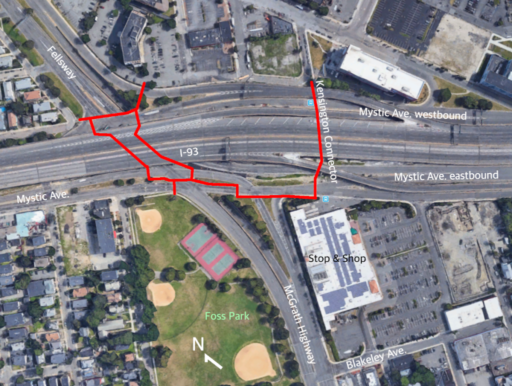
In a public meeting last night at East Somerville Community School, engineers from MassDOT and project consultants from VHB presented recommendations from their Route 28/38 planning study, which sprang from a 2017 road safety audit of the area.
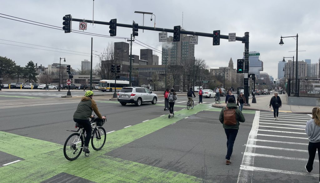
The complex junction of the Fellsway, Mystic Avenue and McGrath Highway – gateways to the fast-growing Assembly Square development – rank as the city’s most dangerous intersection by far, according to data from the City of Somerville’s recent Vision Zero implementation plan.
Last July, a motorist on Mystic Avenue killed Cheryl Pauline Richards, 52, of Somerville, as she was using the crosswalk at the Kensington Street underpass. A month later, another hit-and-run driver killed Kevin Dumont, 68, in a Mystic Avenue crosswalk at Shore Road.
MassDOT has secured $5 million in federal funds to implement safety improvements to the area. That budget won’t be enough to make major changes, so state and city officials have been collaborating to identify projects that will deliver “the most bang for the buck,” in the words of MassDOT officials.
The first priority will be upgrading the intersection’s dozens of pedestrian curb ramps and crosswalks to basic standards of accessibility under the Americans with Disabilities Act (ADA).
MassDOT officials reported that none of the area’s crosswalks and curb ramps meet that standard today. Many are blocked by utility poles and guardrails, and some crosswalks are missing altogether.
Other priorities will include upgrades to traffic signals, improved signage, a new crosswalk over McGrath Highway to connect Foss Park and Blakeley Avenue (just south of the Stop and Shop supermarket), and possible traffic-calming adjustments to the right-turn slip lane from the McGrath Highway onto the eastbound lanes of Mystic Avenue.
A few dozen members of the public in attendance at Wedesday’s meeting urged officials to do more to protect pedestrians from reckless drivers. Suggestions included the installation of new curbs or bollards, and the addition of raised crosswalks.
East Somerville resident Christina Ciampa asked the city to make additional upgrades to the Kensington underpasses, including better lighting.
“As a woman who uses that crossing often, walking through there at night is a little intimidating,” she said.
Brendan Kearney of WalkBoston, who participated in the 2017 safety audit, said that “speed is a huge issue. I love the idea of putting in raised crosswalks.”
The project’s timing is also an issue. Because federal projects require extra layers of bureaucratic review, officials warned that construction on the federally-funded improvements may not begin until 2022. But that won’t preclude other projects from moving forward in the shorter term.
Brad Rawson, the City of Somerville’s Director of Transportation and Infrastructure, said that “we’re looking at getting additional state resources to do something quicker, and continue working on what is a very threatening built environment here,” said Rawson.
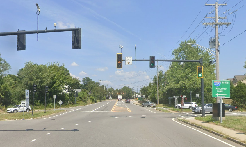
One of the more significant additional projects under consideration could adjust curb to narrow the westbound lanes of Mystic Avenue near the Kensington underpasses, pictured below:
A conceptual drawing shown Wednesday evening showed a plan to consolidate the two lanes of traffic at this location into a single lane, making room for a curb extension at the Kensington crosswalk and a dedicated bus pull-out for the MBTA’s route 95 bus stop.
However, MassDOT officials warned that that recommendation would require additional analysis before their agency would be ready to sign off on them plan.

Read More:
Streetsblog has migrated to a new comment system. New commenters can register directly in the comments section of any article. Returning commenters: your previous comments and display name have been preserved, but you'll need to reclaim your account by clicking "Forgot your password?" on the sign-in form, entering your email, and following the verification link to set a new password — this is required because passwords could not be carried over during the migration. For questions, contact tips@streetsblog.org.