Planners from the City of Boston and the MBTA held their first open house on Tuesday evening in the city's Hyde Park neighborhood to solicit ideas for "complete streets" and transit-priority improvements to Hyde Park Avenue, a major transit corridor and one of the only north-south routes into the neighborhoods of Hyde Park and Readville.
The MBTA's route 32 bus, which runs along the length of Hyde Park Avenue from the Forest Hills terminus of the Orange Line to Wolcott Square and the Readville commuter rail stop at the end of the Fairmount Line, ranks among the MBTA's ten busiest bus routes, with over 10,000 average daily boardings.
According to MBTA data, 23 percent of the corridor's bus trips do not meet their schedule. Buses are most likely to be delayed in the blocks around Forest Hills station, where multiple bus routes must wait to make a left turn into the station. Bus bunching is common, especially during rush hours.
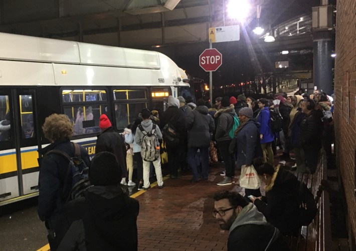
City of Boston officials at Tuesday's open house said that the city is considering an array of bus-priority improvements for the corridor, from transit-priority traffic signals to dedicated bus lanes, to help alleviate crowding and improve reliability on the corridor's crowded buses. Improvements for bikes and pedestrians are also being investigated.
Hyde Park resident Rhonda Kaplan attended Tuesday's open house to ask the city for safer bike facilities along Hyde Park Avenue, which is the neighborhood's only practical north-south bike route to the Southwest Corridor.
"I'm angry and frustrated that every other neighborhood has safer routes into the city, and we don't," said Kaplan. "If Hyde Park had a dedicated bus-and-bike lane, or a protected lane for bikes, that would be great."
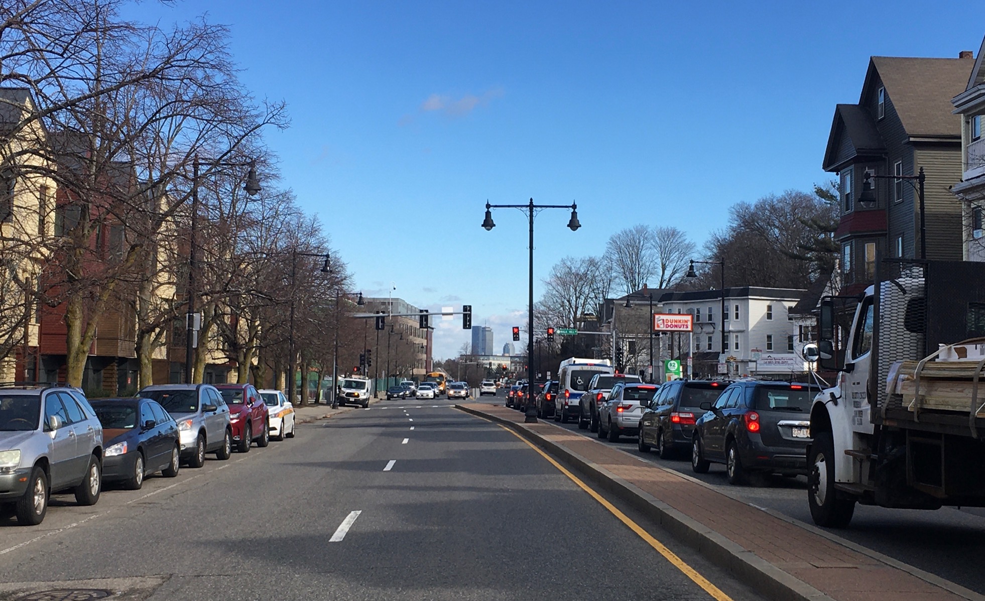
The northern half of the corridor – north of Metropolitan Avenue – offers more public right-of-way that could be reallocated for dedicated bus or bike lanes. The current street layout there (pictured at the top of this post) includes four lanes for moving traffic, plus sparsely-used parallel parking at the curb and a concrete median strip.
South of Metropolitan, the street becomes slightly narrower, with two wide lanes for moving vehicles plus parallel parking. However, there are also more parallel streets that offer alternative routes for bicycle users traveling north or south. And the results of a City of Boston survey suggest that Hyde Park residents may not be terribly attached to all that on-street parking: 69 percent of respondents said that the avenue's on-street parking was either "not important" or only "somewhat important."
In the same survey, 64 percent of respondents cited "unsafe driving" as a major concern.
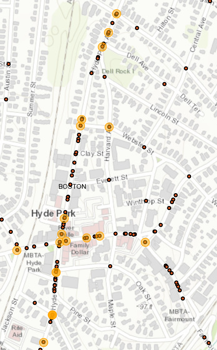
MassDOT's IMPACT crash database indicates that a higher percentage of crashes along Hyde Park Avenue result in injury, compared to the rate of injury in the rest of the city – potentially a consequence of the street's high-speed traffic. MassDOT records show that there have been 121 crashes along Hyde Park Avenue since 2017, and nearly half of those resulted in some form of injury.
Matt Moran, a planner on the City of Boston's transit team, said at Tuesday's open house that the city would continue to conduct outreach throughout the spring and develop conceptual plans for the corridor later this year.
For more information:
City of Boston: Hyde Park Multimodal Corridor Project website
