Guest Column: A Call for Reparations in the Built Environment of Cities
3:24 PM EDT on July 27, 2020

Christian has edited StreetsblogMASS since its founding in spring 2019. Before that, he was a data reporter for the Portland Press Herald in Maine.
Got tips? Send them to me via Signal, the encrypted messaging app, at 207-310-0728.
Streetsblog has migrated to a new comment system. New commenters can register directly in the comments section of any article. Returning commenters: your previous comments and display name have been preserved, but you'll need to reclaim your account by clicking "Forgot your password?" on the sign-in form, entering your email, and following the verification link to set a new password — this is required because passwords could not be carried over during the migration. For questions, contact tips@streetsblog.org.
More from Streetsblog Massachusetts
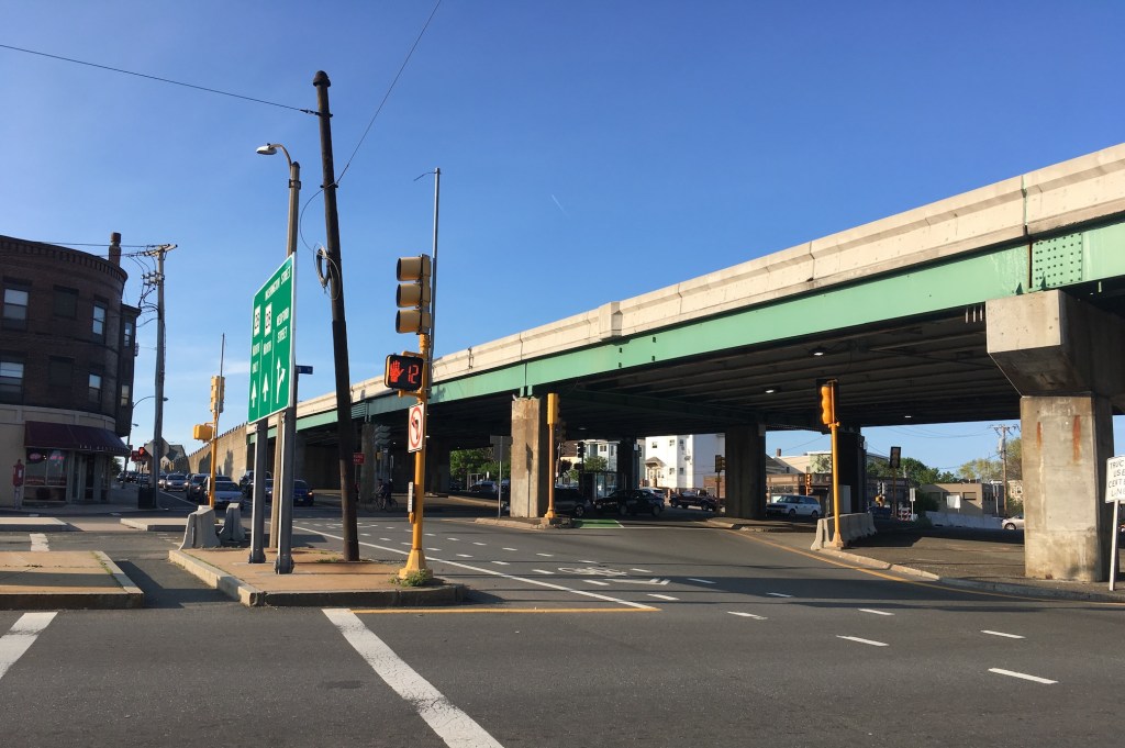
McGrath Highway’s Makeover: Two New Bridges Coming to Somerville
The road to redesigning McGrath Highway in Somerville continues as MassDOT prepares to replace a major bridge on the Somerville/Cambridge city line.
July 28, 2026
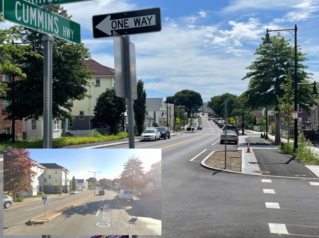
Eyes On the Street: A Greener, Calmer Cummins Highway
After two years of construction, work is nearly complete on a dramatic transformation of Cummins Highway in Mattapan.
July 27, 2026
Mayor Wu Outlines a New Street Safety Agenda in the Wake of Louisa Gag’s Killing
On Friday morning, Mayor Wu issued a detailed 6-page letter to residents in which she outlined her administration's plan to improve the safety of the city's streets, and address mounting criticism of her administration's streets cabinet.
July 24, 2026

Boston City Councilors File Legislation to Improve Transportation Department Accountability
Councilors also passed a hearing order to discuss a possible new bike network plan, and a resolution that urges "in the strongest terms that the (Wu) administration strengthen its approach to Vision Zero."
July 24, 2026

