This week, Boston Transportation Department crews are busy painting a new roadway layout on American Legion Highway that will add a new 2-mile-long link in Boston's growing network of protected bike lanes.
Your StreetsblogMASS editor took a ride on the street on Monday morning to check out the progress. Even though more work remains to be done and it's just paint on pavement for now, the new road layout already feels safer. Cars and trucks can no longer weave around each other at high speeds in a multi-lane layout, and bikes have a lot more space on the roadway.
The Boston Transportation Department (BTD) plans to add more lane markings and signage and adjust walk signals over the next two weeks, and install flexible post bollards in November, according to a project update sent earlier this week to project stakeholders.
Here's a brief photo tour of the new bike lanes, from north to south:
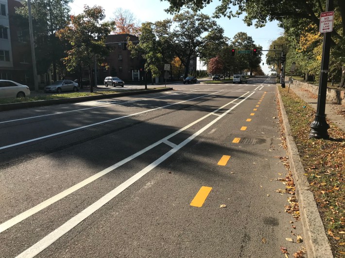
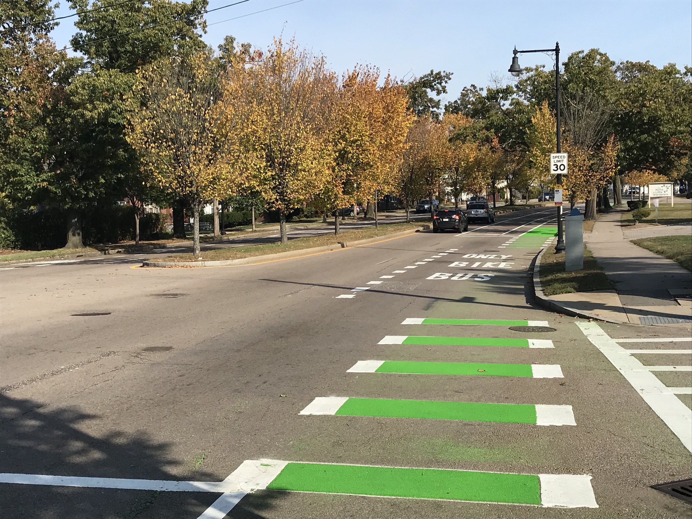
American Legion's new southbound protected bike lane starts at Blue Hill Avenue, which could soon be getting a set of its own protected bike lanes. For northbound cyclists, though, the on-street bike lane ends near this signal at Franklin Hill Avenue, where northbound bike traffic is shunted onto this short section of two-way bikeway and into Circuit Drive in Franklin Park.
This routing for northbound bike traffic was made, in part, to preserve on-street parking for the apartment buildings along the northernmost section of American Legion. It's inconvenient for people who might be heading towards the businesses or bus stops on Blue Hill Avenue, but otherwise, Circuit Drive makes a better bike route – at least until Blue Hill gets protected bike lanes of its own.
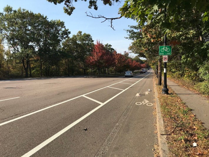
South of Franklin Park, American Legion passes through a section of the city that feels almost rural, with Mass Audubon's nature center on one side of the street and a landscaping business and cemeteries on the other. According to neighbors, this section was especially prone to dangerous drag-racing behavior from drivers.
In an effort to control reckless driving, BTD has eliminated one lane of motor vehicle traffic in each direction, and repurposed the space as a broad hatched buffer and a bike lane that's nearly twice as wide as the previous one. Flexible post bollards will be installed on the outer edge of this buffer, closest to the motor vehicle lanes.
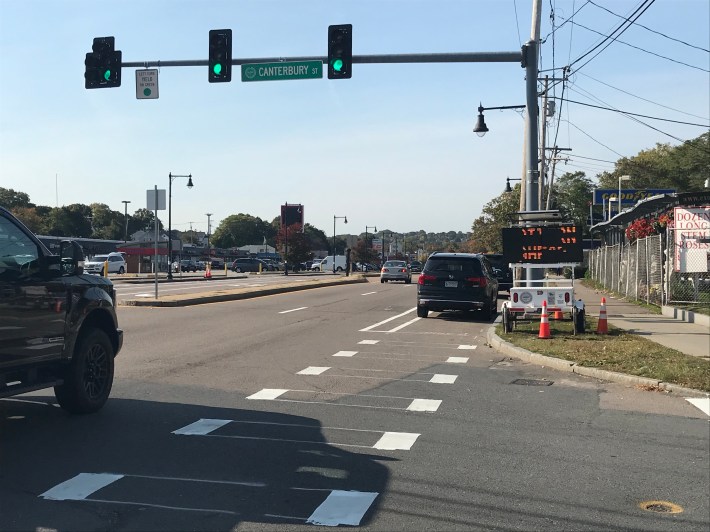
Even without bollards, motor vehicles were doing a fairly good job of staying out of the paint-only bike lanes when I took these photos on Monday. In the project's two-mile length, I found only these two cars near Canterbury Street parked in the new bike lanes (which were, in fairness, still incompletely marked at this point):
The new American Legion bikeway ends at its intersection with Cummins Highway, where another Boston Public Works construction project scheduled to begin next spring will install another set of raised, protected bike lanes all the way to Mattapan Square. The physical design of this intersection was clearly built to accommodate high-speed car traffic, but the BTD has narrowed the northbound slip lane from Cummins Highway:
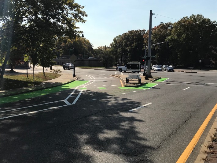
.
Once the Cummins Highway project is complete, bike riders will be able to circumnavigate southern Dorchester and Mattapan on a continuous route of off-street pathways and protected bike lanes, from the Neponset River Greenway to Franklin Park.
