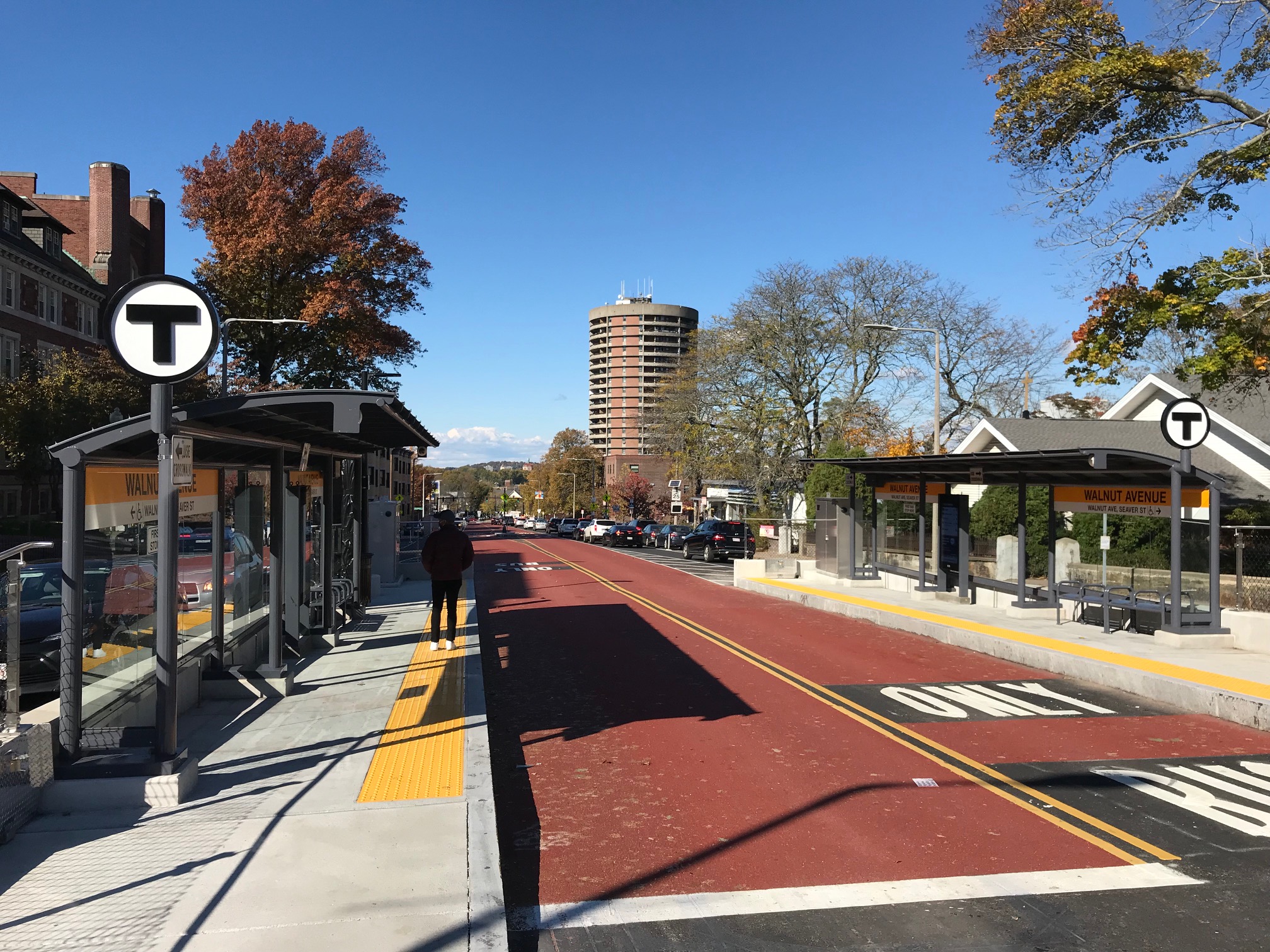
Boston's new center-running bus lanes are open for business in Roxbury, and they're already delivering major benefits to pedestrian and transit riders along Columbus Avenue between Franklin Park and the Jackson Square Orange Line stop.
StreetsblogMASS visited the new bus lanes on Wednesday morning to try them out. The 0.7 mile ride went by remarkably quickly: so quickly, in fact, that the riders I tried to interview got off at Jackson Square before I had a chance to get their names (even though they're anonymous sources, they did tell me they were fans of the upgraded bus stops).
Not only do the bus lanes clear the way of any traffic congestion, but the project also installed new traffic signals that appear to automatically turn green when a bus approaches, as you'll see in this clip of the ride through Egleston Square. Take note of the ambulance that uses the bus lanes at the beginning of this clip to bypass traffic in the intersection:
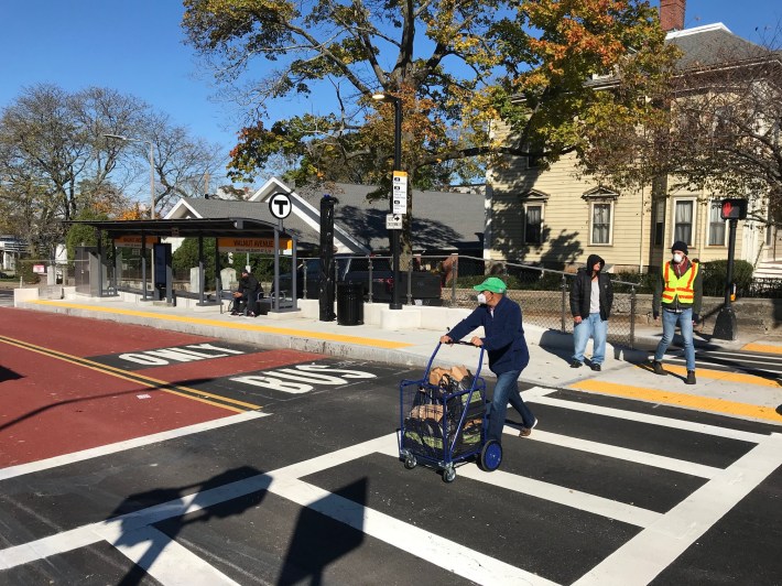
The project also delivered major improvements to 8 bus stops along the corridor, with level boarding platforms, large shelters, and these big transit information screens, which periodically make audible announcements about upcoming bus departures:
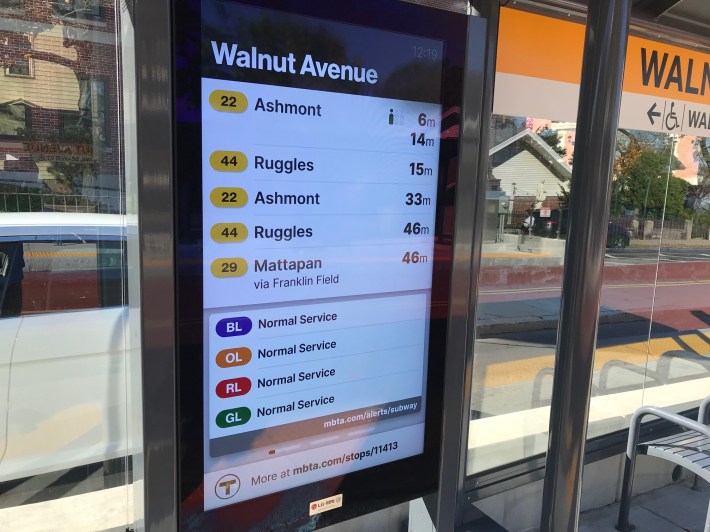
The platforms are located between the center-running busway and a single motor vehicle lane along the outside of the roadway, which helps calm traffic considerably along Columbus Avenue. The bus platforms also effectively provide two safe refuges for pedestrians who are crossing the wide street:
Upgraded parallel bike routes, additional neighborhood traffic-calming coming in 2022
When the Boston Transportation Department (BTD) and MBTA announced the Columbus Ave. project in 2019, they took some heat from bike transportation advocates for not including any dedicated space for bike lanes as well.
But the BTD is planning a separate project that could go under construction in 2022 to provide a parallel bike route on traffic-calmed neighborhood streets, with physically separated, contraflow bike lanes on some segments, to create a high-quality bike connection between Franklin Park and the Southwest Corridor.
The city is considering reversing the direction of School Street between Washington Ave. and Franklin Park - currently a one-way, eastbound street - to create space for a physically-separated, uphill bike lane on the southern side of the street. Westbound bike riders would share a lane with motor vehicles, with additional traffic-calming measures installed on the street to keep speeds and traffic volumes low.
Northwest of Washington Street, similar interventions - a mix of protected, contra-flow bike lanes and shared-lane bike routes on traffic-calmed streets - would be installed on various other streets, with two primary bike routes: one, along Boylston Street, would serve riders going to or from Stony Brook and Jamaica Plain, and a second route using School and Atherton Streets would serve riders heading to and from points north along the Southwest Corridor.
BTD is also planning other traffic-calming improvements to increase pedestrian safety in Egleston Square itself, and on multiple other streets in the surrounding neighborhoods.
BTD held public workshops on these proposals in June of this year, and those early designs - with feedback from participants - can be viewed in detail on the city's project website (click here for a PDF of the designs).
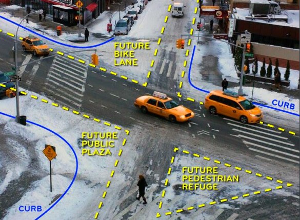
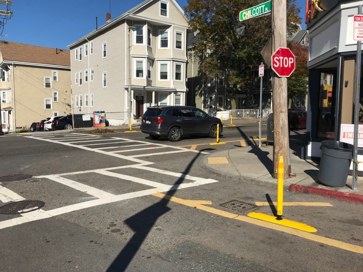
This summer, BTD also installed flexible-post bollards at several intersections on Washington Street to keep cars out of crosswalks and improve pedestrian visibility:
A BTD official told StreetsblogMASS on Wednesday that the city is working on formalizing its design plans with additional feedback from neighborhood stakeholders on these projects, but hopes to present more polished "25% design" plans in a public meeting in the winter or spring of 2022. Construction could then begin later that year.
