Eyes On the Street: Back Bay’s New Bikeways
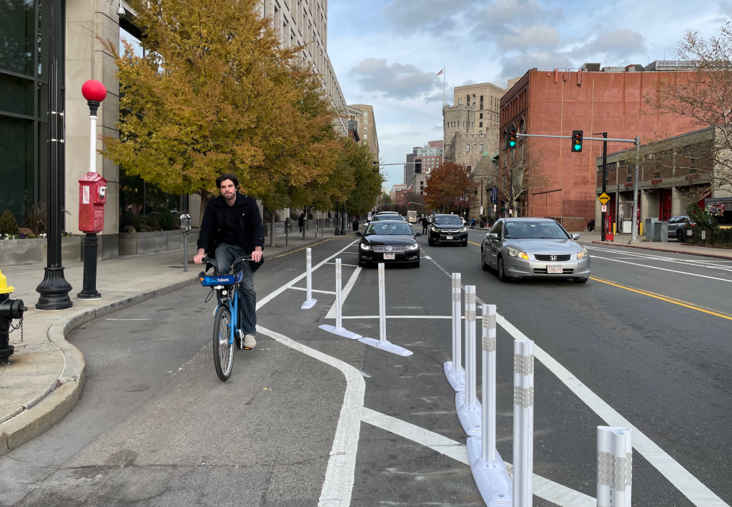
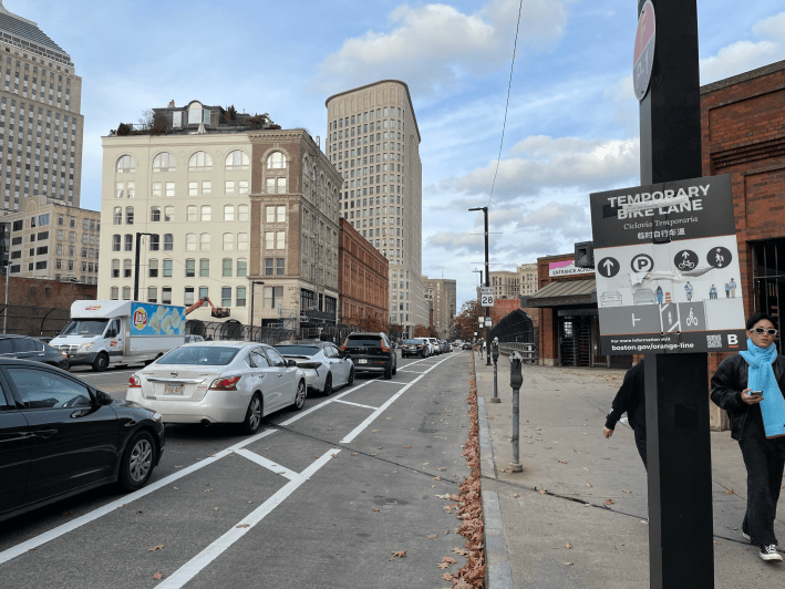
Over the past week, the City of Boston has been re-striping several newly-paved streets in the South End and Back Bay to implement new protected bike lanes on parts of Berkeley Street and Columbus Avenue (pictured above).
These new protected bike lanes only cover a few blocks, but they provide crucial connections between several other existing bikeways, and take a big step towards connecting a gap between the Boston Common and the Southwest Corridor:
On Columbus Avenue, a recent repaving project gave the City of Boston a chance to permanently implement a street design that had been tested on a trial basis during the pandemic as part of the city’s “healthy streets” initiative, then again during last year’s Orange Line shutdown:
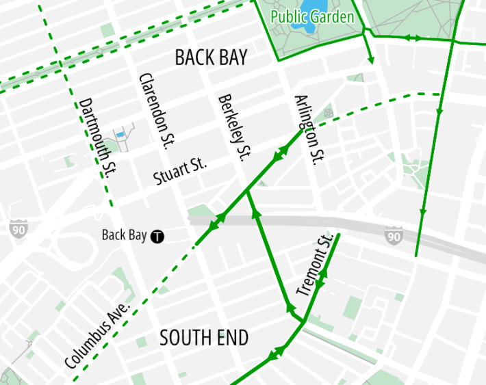
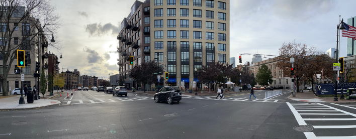
On Berkeley Street, a new northbound-only bike lane has been created on the eastern curb and the number of car lanes has been reduced from three to two between Tremont Street and Columbus Avenue.
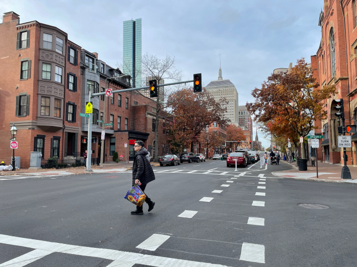
The Berkeley Street lane begins at Tremont Street, where new protected bike lanes have been under construction for two years now and are finally nearing completion this fall:
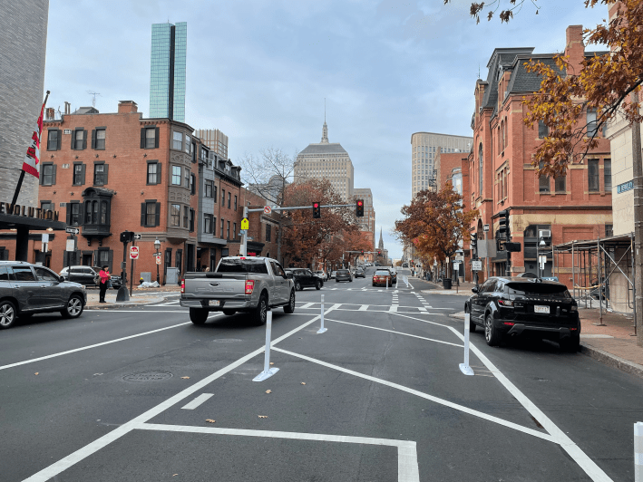
When we took these photos last Friday, the new bike lanes were still a work in progress: the city had installed flexible-post bollards on some blocks, but not others, and several segments of the new bike lanes were still blocked with parked cars.
These new bikeways represent a partial implementation of a citywide bike network expansion that Mayor Wu announced last fall.
Under that plan, the Berkeley Street bike lane will continue further north through Back Bay to connect to a planned eastbound protected bike lane on Boylston Street, and to the existing westbound bike lane on Beacon Street.
On Monday, a city spokesperson told StreetsblogMASS that work on Berkeley Street north of Columbus Avenue will continue next spring.
In another project to the east, the city would extend the new Tremont Street bike lanes into downtown Boston via a new one-way northbound bike lane on Charles Street South.

Read More:
Streetsblog has migrated to a new comment system. New commenters can register directly in the comments section of any article. Returning commenters: your previous comments and display name have been preserved, but you'll need to reclaim your account by clicking "Forgot your password?" on the sign-in form, entering your email, and following the verification link to set a new password — this is required because passwords could not be carried over during the migration. For questions, contact tips@streetsblog.org.