Eyes On the Street: An Upgraded Freedom Trail Across the New North Washington Street Bridge

After several years’ worth of delay, the new North Washington Street Bridge between the North End and Charlestown partially opened to the general public earlier this month, while work continues on the western (upstream) portion of the new bridge.
For the past four years now, all bridge traffic – including foot traffic along Boston’s famous Freedom Trail – has been confined to a narrow 3-lane “temporary” bridge running just upstream from the construction site, while workers demolished the old bridge and started building the new one.
Two weekends ago, MassDOT shifted traffic off of that temporary bridge and onto the eastern part of the new bridge. Over the course of the next year, workers will demolish the temporary bridge, then and start finishing the western portion of the new bridge, including a second sidewalk and the southbound protected bike path.
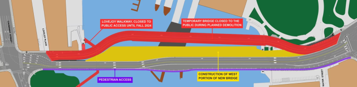
Here’s a diagram of the new traffic pattern for the next year or so (Paul Revere Park in Charlestown is in the upper right, and the North End is on the left):
At the North End entrance to the bridge sidewalk, signage notifies people on bikes that they’re expected to dismount and walk across (based on our observations Thursday afternoon, compliance with this request is pretty low).

You can see here that the sidewalk is pretty narrow here with a large utility cabinet in the middle of the walkway, but there’s considerably more space further on.
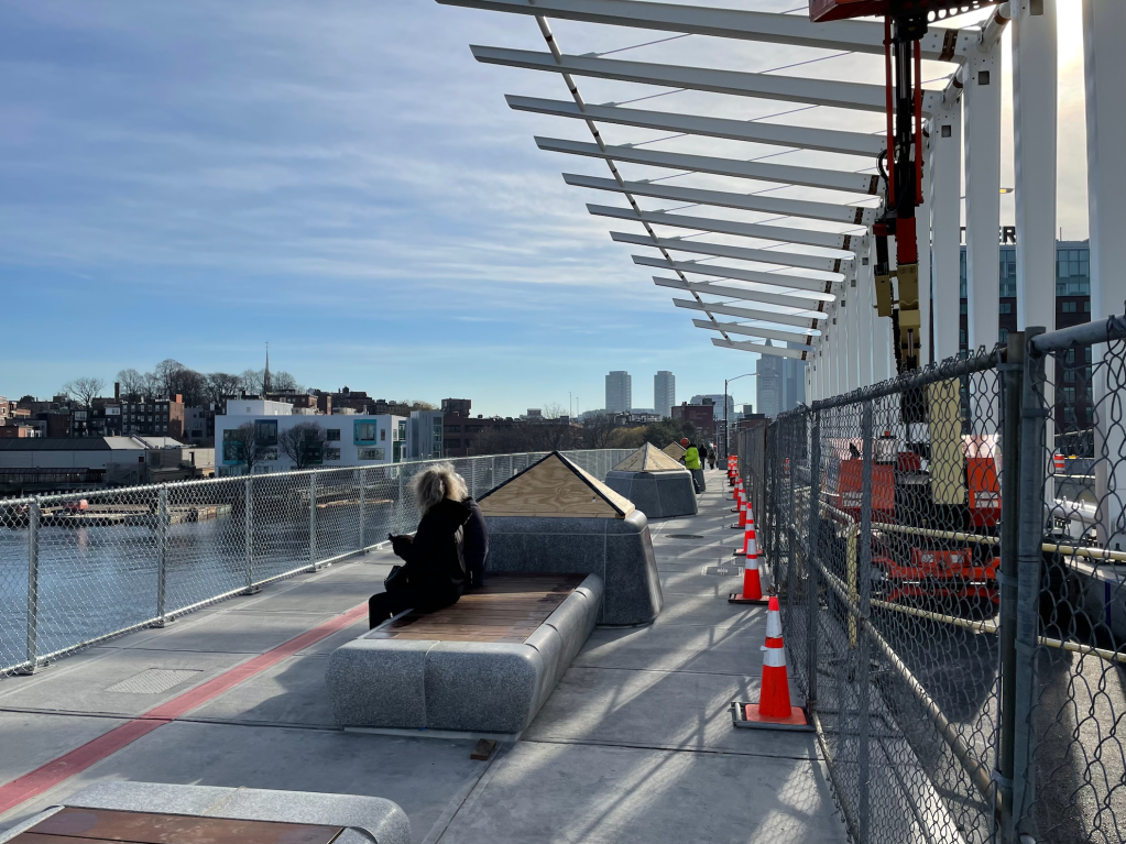
In the photo below, the big canopy of cantilevered steel fins marks the midpoint of the bridge:

Once the construction on the other side of the bridge is complete, traffic will shift further away from the sidewalk here, opening up more space for pedestrians. Most of the space between the sidewalk and the yellow lines in this photo will become a protected bike lane, as in the photo below, which shows the more-complete northern half of the bridge:
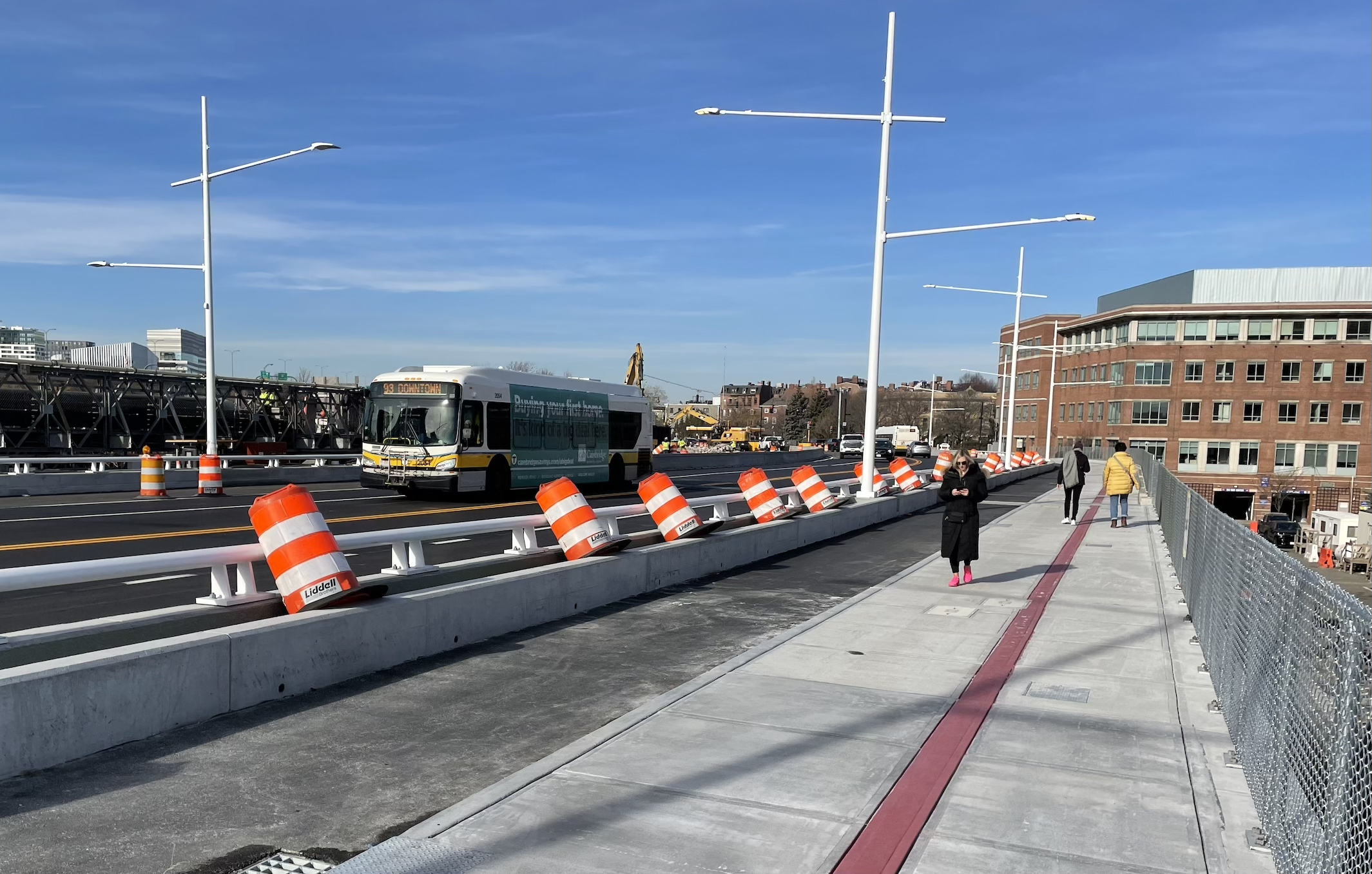
This final photo was taken just beyond the midpoint of the new bridge, looking north into Charlestown. Eventually, both sides of the new bridge will look like this, with wide new sidewalks and protected bike lanes in each direction.
According to MassDOT’s current project schedule, the rest of the bridge will open to traffic sometime in late 2024.
Watch a video tour of the new bridge on our Instagram account.
Streetsblog has migrated to a new comment system. New commenters can register directly in the comments section of any article. Returning commenters: your previous comments and display name have been preserved, but you'll need to reclaim your account by clicking "Forgot your password?" on the sign-in form, entering your email, and following the verification link to set a new password — this is required because passwords could not be carried over during the migration. For questions, contact tips@streetsblog.org.