Eyes On the Street: ‘Clippership Connector’ Comes Together in Downtown Medford
This summer, workers are building a missing link in the network of Mystic River waterfront greenways that will bring the the network of riverfront paths into downtown Medford.
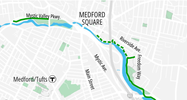
The Clippership Connector path is relatively short – it’s only about half a mile long – but it will give Medford a safe, relatively scenic way to get across Interstate 93, a major barrier in the city, and connect its downtown area with its riverfront parks and schools in the fast-growing districts near the Wellington Orange Line station.
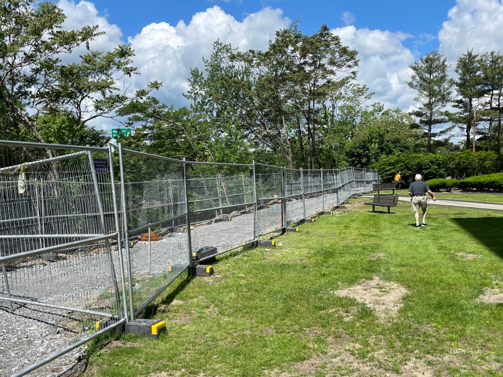
The trail threads its way between several privately-owned properties, which created some challenging design constraints. At several points the trail will run along elevated boardwalks, like this one just west of Interstate 93, to minimize impacts to the riverbanks.
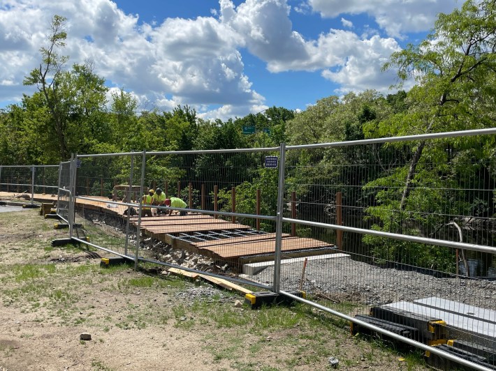
While it’s common for people to start using new trails while they’re still under construction, that’s not really an option here – at least for the time being. Contractors have lined the future trail with fencing, making it impossible to use the trail while it’s still under construction.
For now, if you’re looking to walk or bike between Medford Square and the other existing Mystic River paths to the southeast, your best option is to take Riverside Avenue from Medford Square, then cut south on Freedom Way to access the riverfront behind Madeleine Dugger Andrews Middle School (see map above).
For more information about the project, read our coverage from 2020, written when the project was still under design:
Streetsblog has migrated to a new comment system. New commenters can register directly in the comments section of any article. Returning commenters: your previous comments and display name have been preserved, but you'll need to reclaim your account by clicking "Forgot your password?" on the sign-in form, entering your email, and following the verification link to set a new password — this is required because passwords could not be carried over during the migration. For questions, contact tips@streetsblog.org.