City of Boston Will Add Modest Traffic-Calming Measures For Columbia Road
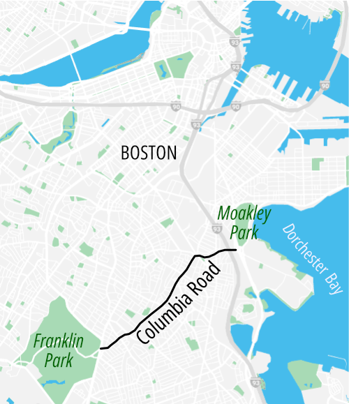
Over the next few months, the Boston Transportation Department will start installing some small-scale traffic-calming interventions to Columbia Road in Dorchester and Grove Hall – an initial step in its efforts to plan a more comprehensive, greener redesign for a missing link in Boston’s Emerald Necklace.
The city is hosting its second open house for the project this evening from 5:30 to 8 p.m. at the Strand Theater at 534 Columbia Road (a few blocks from the Uphams Corner Fairmount Line stop).
Quick-build project will test ideas for bigger redesign
The city is still hosting conversations about what a more comprehensively redesigned Columbia Road might look like.
That planning effort will continue through the next 6 to 8 months, and city officials say they want to continue to do more outreach before they propose any specific concepts.
In the shorter term, though, the Boston Transportation Department will install some smaller-scale safety improvements with temporary materials, like flexible-post bollards, so that the neighborhood can get a sense of what their options are.
“The intent is for this to jump-start a conversation about a larger, long-term project. These are temporary interventions, but if they’re well-received, we could install a more permanent solution,” explained Xavier Lopez, the City of Boston’s project manager.
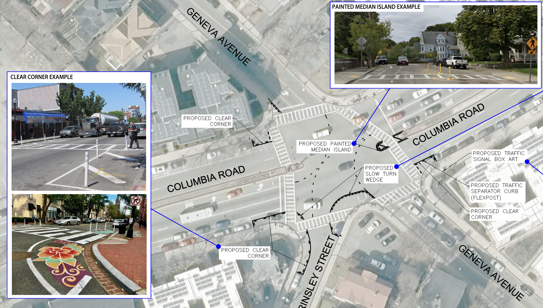
The “early action” project focuses on four intersections along Columbia Road, at Massachusetts Avenue/Boston Street, Dudley/Stoughton Streets, Geneva Avenue/Brinsley Street, and at Washington Street.
At each of these intersections, the city plans to add flexible-post bollards near crosswalk ramps and median islands to improve visibility for pedestrians and to slow down cars that are making turns to and from side streets.
The city will also issue a call for local artists later this winter to paint murals on the pavement inside those new temporary curb extensions and on nearby utility boxes.
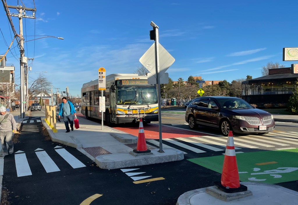
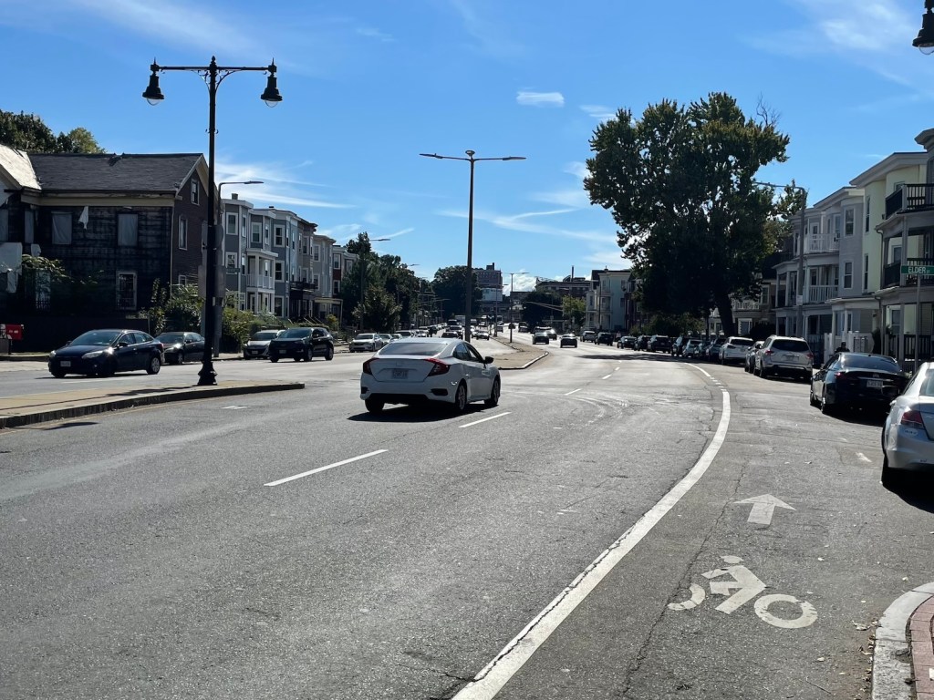
Most of Columbia Road is designated as a “high-crash” street under the City of Boston’s Vision Zero plan, which means it ranks among the city’s most dangerous streets for violent driving incidents.

Read More:
Streetsblog has migrated to a new comment system. New commenters can register directly in the comments section of any article. Returning commenters: your previous comments and display name have been preserved, but you'll need to reclaim your account by clicking "Forgot your password?" on the sign-in form, entering your email, and following the verification link to set a new password — this is required because passwords could not be carried over during the migration. For questions, contact tips@streetsblog.org.