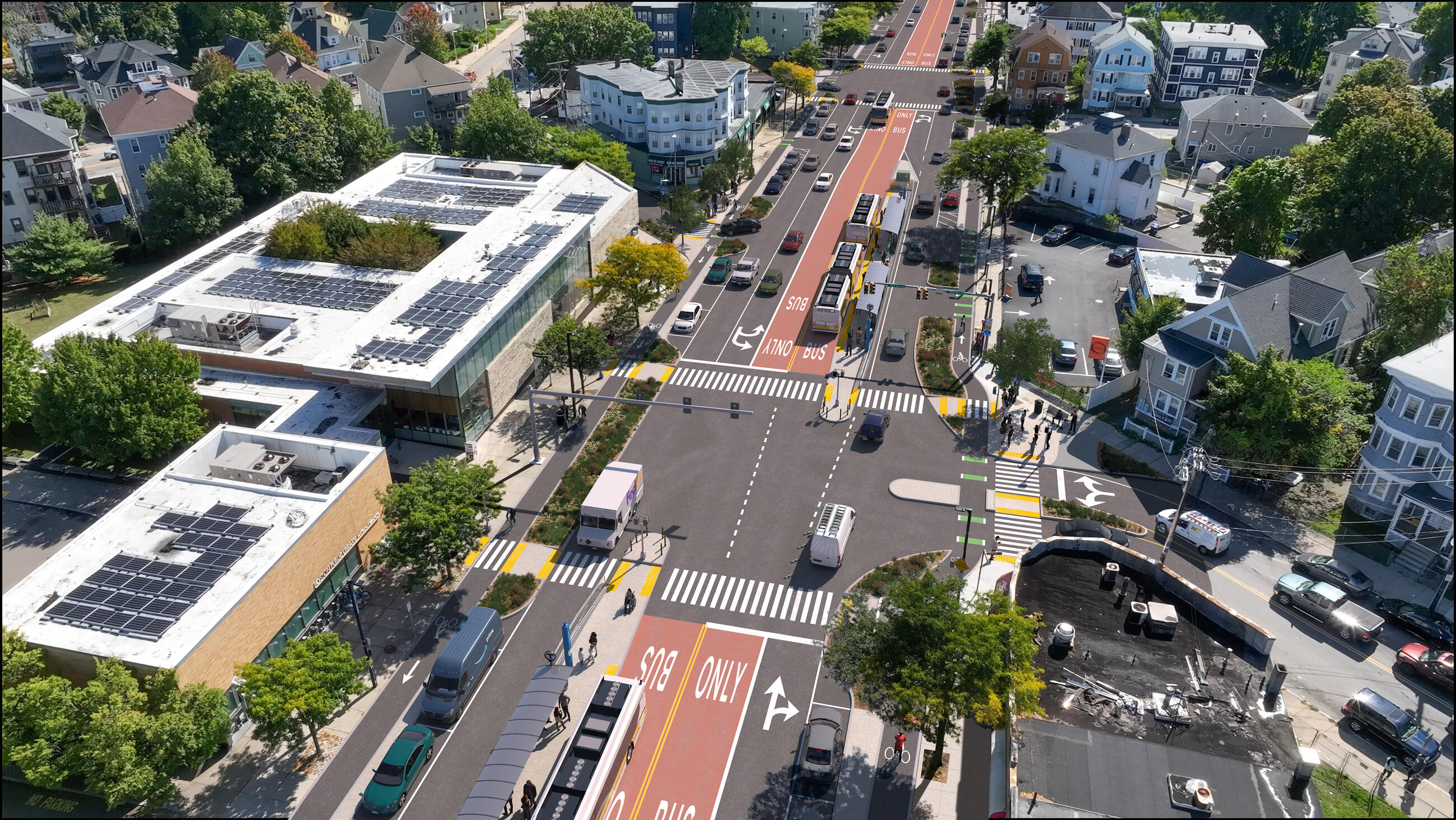
The City of Boston and MBTA have released new conceptual designs for the Blue Hill Avenue transit project and will host three open houses in Mattapan and Dorchester in the coming month to vet the refined plan with neighbors and bus riders.
The new concept-level designs are the first step towards drawing up detailed blueprints for a construction project, which is still not expected to begin until 2026.
Blue Hill Avenue is the busiest bus route in New England. Unfortunately, the T also estimates that bus riders collectively waste over 3,000 hours every weekday due to traffic congestion and illegally-parked vehicles that block their bus stops.
Because Blue Hill Avenue traverses neighborhoods where the majority of Boston's Black and Brown populations live, the costs of those delays overwhelmingly fall on people of color.
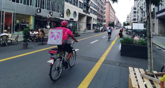
In an effort to make buses faster and more reliable for residents of Mattapan and Dorchester, Mayor Wu announced earlier this year that her administration would invest in a major redesign of Blue Hill Avenue with center-running bus lanes, protected bike lanes, and preservation of trees in the Avenue's landscaped medians.
"This corridor is vital as it carries over 40,000 riders each day, comparable to ridership we see on the Blue Line daily," MBTA General Manager Phillip Eng said in a statement provided to StreetsblogMASS. "Updating the layout of this roadway will improve travel for all along this corridor and make bus trips safer and more efficient for our drivers and riders."
City Hall, MBTA seek feedback on station locations
While previous plans for Blue Hill Avenue had been limited to abstract cross-sections and rough sketches, the new plans released this week get into considerably more detail about specific locations for new stations, traffic lights, crosswalks, tree plantings, and bike lanes.
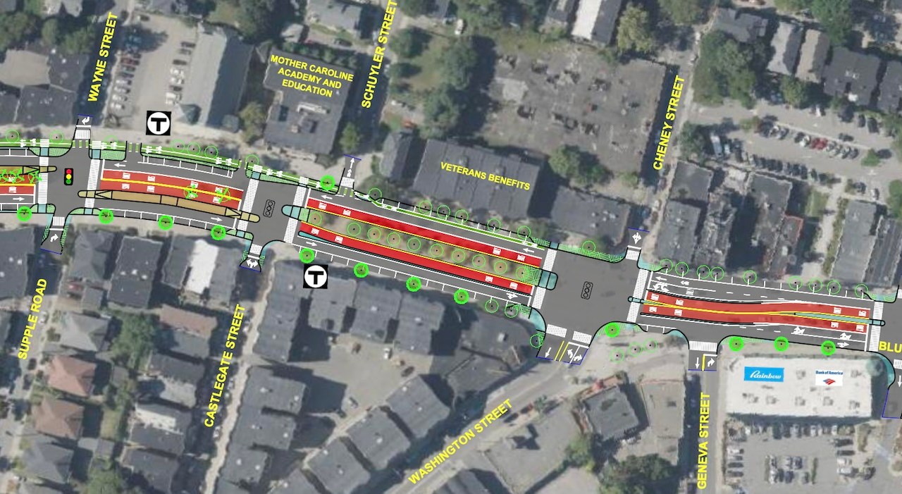
The city and MBTA are still soliciting feedback on details for specific station locations and street layouts in a few key locations.
The conceptual plans include alternative designs for stations near Morton Street, American Legion Highway, and the Blue Hill Avenue Fairmount Line station.
The precise siting of those stations will affect other elements of the street's design, including the number of crosswalks, availability of curbside parking, and turn lanes for motor vehicle traffic.
The city and the MBTA will need to determine a final choice between those alternatives before the project moves into more advanced design next year.
To help them make those decisions, the City of Boston is hosting three project open houses in the next month:
- On November 19th from 5:30 to 7:30 p.m. at the Sportsmen's Tennis and Enrichment Center in Harambee Park at 950 Blue Hill Avenue;
- On November 21st from 5:30 to 7:30 p.m., at the Grove Hall Branch of the Boston Public Library at 41 Geneva Avenue;
- On December 4th, 5:30 to 7:30 p.m. at the Josh Kraft Mattapan Teen Center at 10 Hazleton Street
The MBTA has also published a new project website with additional details about the design, along with an online survey to collect feedback on station alternatives.
Download a PDF of the concept design here.
This story was updated on Monday Nov. 11 to add the quote from Phillip Eng and add links to the new MBTA project website.
