City, State Collaborating on Safety Fixes for Mass. Ave. in Boston’s South End
The City of Boston and MassDOT hope to implement speed-reducing safety improvements in the upcoming year for the deadly streets surrounding the Boston Medical Center, where drivers have have killed four people in crashes since 2017.
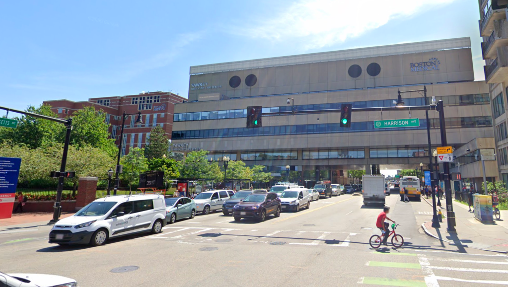
The most recent victim of traffic violence in the area was a bicycle rider who was struck and killed at the intersection of Mass. Ave. and Harrison Ave. last week, in a crash that remains under investigation.
Another driver struck a pedestrian using the Mass. Ave. crosswalk at Albany Street on March 16, in a crash that has since been categorized as “fatal” in the state’s crash database.
On Monday, at a meeting of the City of Boston’s Vision Zero Task Force, City of Boston staff shared conceptual plans for a project that would install a protected bikeway between Harrison Avenue and Melnea Cass Boulevard.
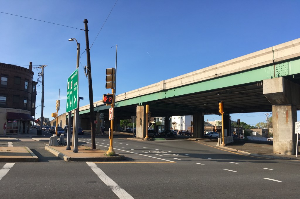
The current paint-only Massachusetts Avenue bike lane disappears at Harrison Avenue as the street approaches the hectic multi-lane intersection with Melnea Cass Blvd.
According to a Boston Transportation Department spokesperson, the city completed a field survey for the project last fall, and hopes to complete the design in time to put the project under construction in 2021.
Eliza Parad, the interim executive director of the Boston Cyclists Union, appreciates the city’s work but wishes the safety improvements could be implemented with more urgency.
“This draft design was developed last year; since then, three more people have died,” said Parad. “Why is it taking so long? These projects on Mass. Ave. need to be prioritized, and they need to have fully separated infrastructure, including dedicated bike signals to protect us from turning trucks.”
The city is also collaborating with MassDOT to calm traffic and reduce speeds on the Massachusetts Avenue Connector, the state-owned roadway that funnels traffic into the area from Interstate 93.
A BTD official said in an email that MassDOT is considering the use of “striping, flex posts, and rumble strips” to slow down traffic on its approach to the intersection with Melnea Cass and Massachusetts Avenue, and that short-term improvements could be installed later this year.

Read More:
Streetsblog has migrated to a new comment system. New commenters can register directly in the comments section of any article. Returning commenters: your previous comments and display name have been preserved, but you'll need to reclaim your account by clicking "Forgot your password?" on the sign-in form, entering your email, and following the verification link to set a new password — this is required because passwords could not be carried over during the migration. For questions, contact tips@streetsblog.org.