Boston Seeks Plans for Bus Priority, Protected Bike Routes Through Longwood and Kenmore Square
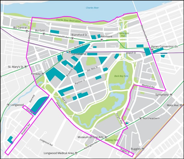
The Boston Planning and Development Agency (BPDA) just released a request for proposals to conduct a new transportation study of the Longwood and Kenmore Square neighborhoods that aims to accommodate millions of square feet in new development with new transit-priority streets and better-connected networks of trails and protected bike lanes.
According to the BPDA, over 9 million square feet of new development are either under construction or in the planning pipeline in the Kenmore Square, Fenway, and Longwood neighborhoods – much of it concentrated along the Brookline Avenue corridor between Kenmore Square and the Brookline town line.
But while the neighborhood adds new residents, jobs, and attractions, the amount of space available on the neighborhood’s crowded streets isn’t increasing.
The BPDA’s proposed “Fenway-Kenmore Transportation Action Plan,” with a $1.2 million budget, seeks a “coordinated approach to designing improvements in the Fenway neighborhood” with improved walking, biking, and transit networks, according to a request for proposals document released last week.
The focus on shifting more trips out of private vehicles won’t merely accommodate the neighborhood’s growth; it will also help the city meet key goals in its climate plan, which calls for the city to reduce pollution by cutting the amount of car traffic on the city’s streets roughly in half within the next 8 years, and making up the difference with increases in walking, biking, and transit use.
The BPDA’s request for proposals (RFP) seeks consultants who can make those climate plans a reality – at least in this particular neighborhood.
The city is seeking a planning firm that will “assist in the development of a multimodal network vision that will identify safe, complete, and connected walking, biking, transit, urban freight, and vehicle networks in the study area. Multimodal networks will be considered in context with one another to identify modal priorities in constrained corridors and spaces… the multimodal network vision shall align with the vision, goals, and targets outlined in Go Boston 2030,” according to the RFP document.
The RFP also specifies that the selected consultant will be expected to “prepare conceptual designs for streets (and) intersections.”
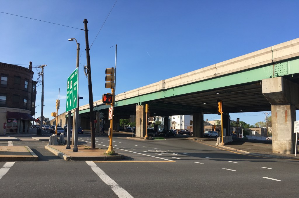
The BPDA specifically requests “a preferred conceptual design leading to the reconfiguration of Kenmore Square… (with) a connected network of separated bike lanes on Commonwealth Avenue and Beacon Street.”
Before the pandemic, the BPDA had approved a private hotel developer’s proposal to reconfigure the western side of Kenmore Square, but that project has yet to begin construction. It’s unclear whether the hotel’s proposal has earned other necessary approvals from the City of Boston’s Public Improvements Commission, which must sign off on major changes to city-owned streets (a City of Boston spokesperson had not yet responded to our inquiry at the time of this story’s publication).
The BPDA is also seeking consultants who can prepare “a preferred design leading to the reconfiguration of Brookline Avenue, between Kenmore Square and the Brookline town line, as a transit-priority corridor” that would “support faster, more reliable high-frequency bus service that is fully accessible.”
As we reported here two weeks ago, Brookline Avenue traverses the Longwood Medical Area, which is poised to become a major hub for MBTA’s proposed “frequent-service” bus network.
The T’s proposal would route six new “high-frequency” bus lines – with buses that arrive every 15 minutes or less, 20 hours a day – through the heart of the LMA. Of those, four routes would use parts of Brookline Avenue on their way to and from Kenmore Square or Brookline Village.
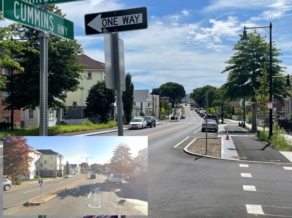
On the other side of the Longwood Medical Area, the Town of Brookline is also coordinating with the City of Boston, the Longwood Collective, MassDOT, and the T to create a long-term improvement plan for its own segment of Brookline Avenue, which runs from the Emerald Necklace to Boylston Street.
Currently, Brookline’s section of Brookline Avenue features four high-speed lanes for motor vehicle traffic and two on-street parking lanes. There’s also a parallel shared-use path that runs along the riverbank on the southern side of the street, but parts of it are in poor condition, and there aren’t good crosswalk connections across the Avenue to connect to the rest of the Riverway trail network to the north.
Todd Kirrane, Brookline’s Transportation Administrator, told StreetsblogMASS that, in addition to working on that longer-term plan, the town is also moving ahead with “some interim measures, using pavement markings and changes to the cross section, to improve bus priority, bike and micro-mobility accommodations, and Emerald Necklace pathway connections along the Brookline portion.”
“We expect to take these from concept to implementation by the late Spring/early Summer 2023,” Kirrane continued. “While it set the stage for improvements along the corridor, nothing is so permanent that it could not adapt to an improved plan that comes out of the joint planning effort.”
The BPDA expects to select a consultant for the Fenway-Kenmore Transportation Action Plan later this fall, and the study is expected to take two years to complete.

Read More:
Streetsblog has migrated to a new comment system. New commenters can register directly in the comments section of any article. Returning commenters: your previous comments and display name have been preserved, but you'll need to reclaim your account by clicking "Forgot your password?" on the sign-in form, entering your email, and following the verification link to set a new password — this is required because passwords could not be carried over during the migration. For questions, contact tips@streetsblog.org.