MassDOT Plans New Shared-Use Path Connection Between Northampton, Easthampton
Last week, MassDOT held a virtual public hearing for a project that will construct a new shared-use path alongside Route 5 between Northampton and the Mount Tom State Reservation in Easthampton.
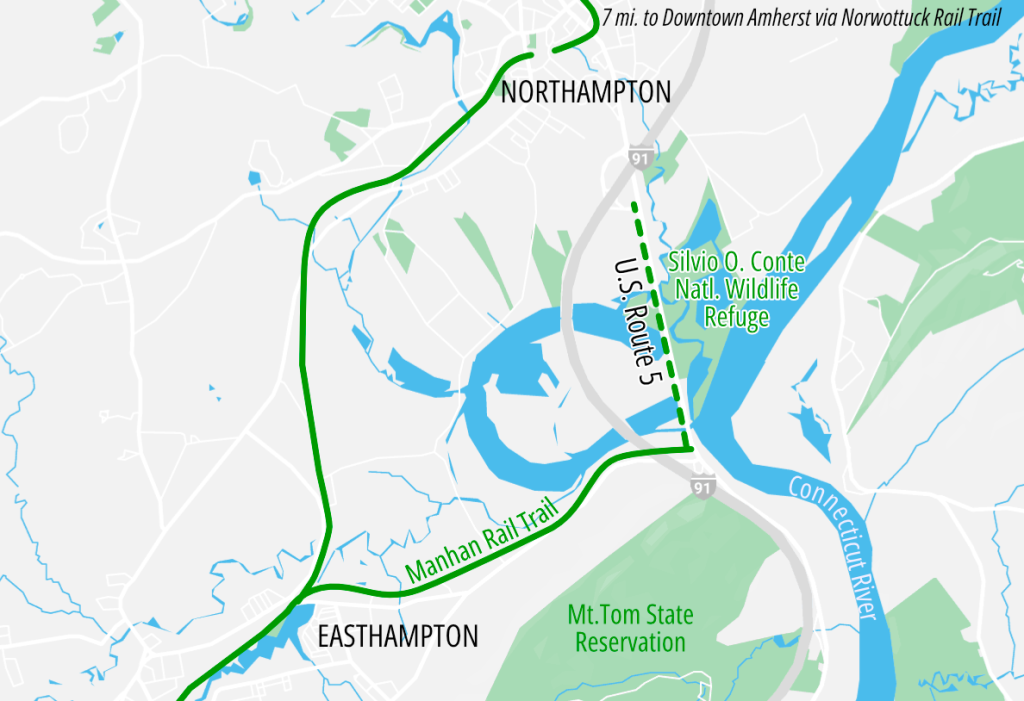
The 1.25-mile path would extend an existing spur of the Manhan Rail Trail from its terminus near the intersection of East Street and North Street in Easthampton. From there, the path would continue north, through river oxbow wetlands, to the Exit 23 on- and off-ramps to the northbound lanes of Interstate 91.
The northern end of the trail would be about half a mile from the Pleasant Street roundabout on the southern edge of downtown Northampton (see map above).
This segment of Route 5 is currently a two-lane roadway with narrow shoulders, no sidewalks, and a 45 mph speed limit.
“This section of the roadway lacks accessibility for disabled pedestrians,” said MassDOT project manager Muazzez Reardon. “This lack of bike and pedestrian facilities creates a gap in service” between the sidewalks and bike lanes of downtown Northampton to the north and the Manhan Rail Trail and the trails of the Mount Tom Reservation to the south.
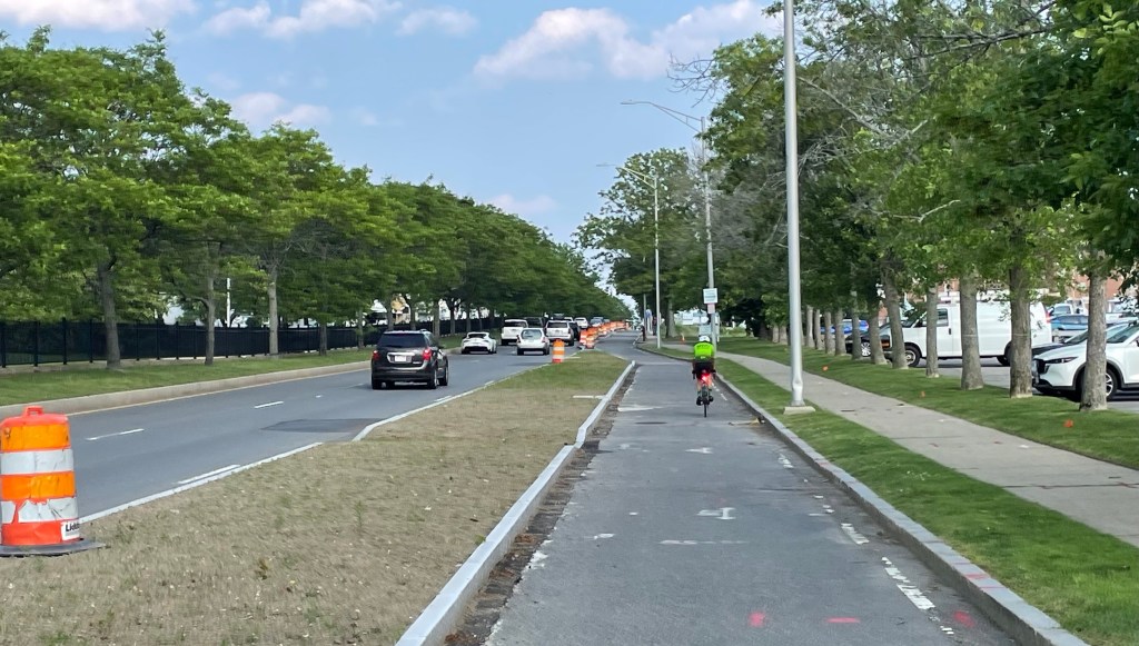
MassDOT is proposing a 10-foot-wide shared-use path along the western side of Route 5, generally separated from the roadway with a landscaped buffer zone of varying width.
At the northern end of the project, where Route 5 meets the northbound I-91 interchange at a traffic signal, the project will install signalized crosswalks to get path users across 6 lanes of on- and off-ramp traffic.
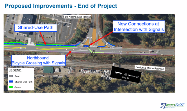
North of that interchange, bikes will be able to continue into the south side of Northampton on painted bike lanes, but there is currently a half-mile gap between the end of MassDOT’s proposed project and the nearest sidewalk on Pleasant Street in Northampton.
According to officials from the City of Northampton, the state has no plans to fill in that half-mile sidewalk gap on Route 5.
Designing and environmental permitting for the project, which crosses wetlands along the Connecticut and Manhan Rivers, will take two more years, and the project is scheduled to go under construction in 2026.

Streetsblog has migrated to a new comment system. New commenters can register directly in the comments section of any article. Returning commenters: your previous comments and display name have been preserved, but you'll need to reclaim your account by clicking "Forgot your password?" on the sign-in form, entering your email, and following the verification link to set a new password — this is required because passwords could not be carried over during the migration. For questions, contact tips@streetsblog.org.