Ambulance Data Reveals That Boston Drivers Are 4 Times More Likely to Run Over Pedestrians From Black Neighborhoods
A new analysis of Boston’s ambulance response data reveals that reckless drivers are dramatically more likely to strike pedestrians who live in Boston’s predominantly Black and Latino neighborhoods – even when those pedestrians are visiting overwhelmingly white neighborhoods like Back Bay or Beacon Hill.
In a paper titled “Mobility Risk: Using Ambulance Operations Data to Analyze the Spatial and Social Dimensions of Health Disadvantage,” published in the journal Cities & Health, a team of researchers that included academics and Boston Emergency Medical Services (EMS) employees analyzed the city’s ambulance response data to examine how traffic violence varies across neighborhoods.
The researchers found stark and disturbing discrepancies in the number of violent crashes between neighborhoods with different racial demographics.
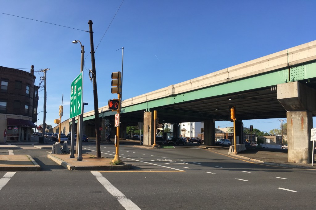
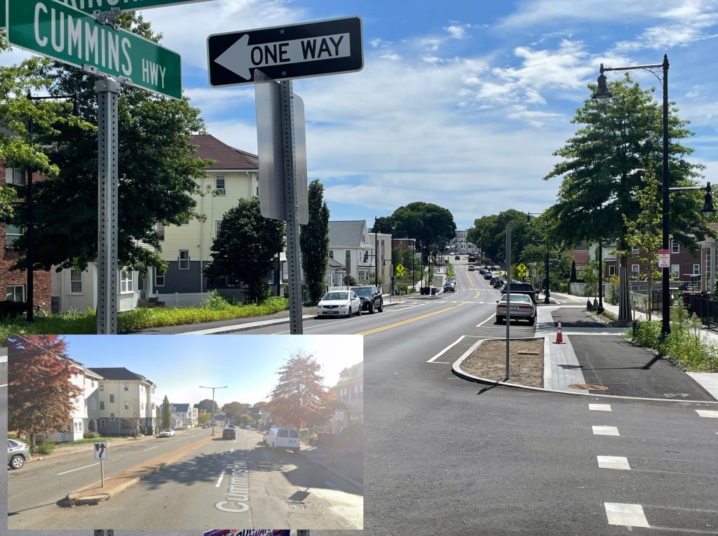
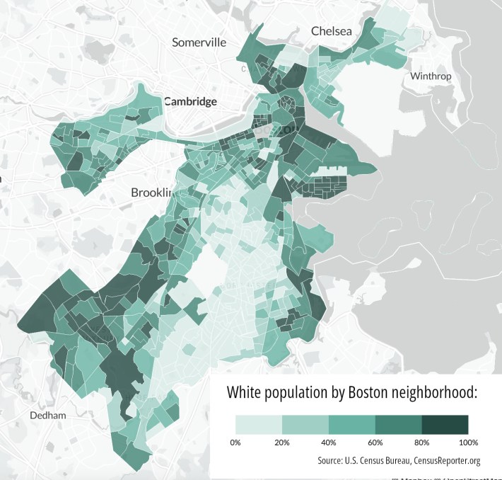
Among thousands of ambulance calls made between 2016 and 2021, there were 2.7 times as many emergency calls for crashes that injured a pedestrian in Boston’s least-white neighborhoods (which include places like Mattapan, Hyde Park, and Nubian Square) compared to the whitest neighborhoods (places like Back Bay, West Roxbury, and Dorchester Heights – see map below).
But merely looking at where crashes occurred doesn’t tell the whole story.
The researchers also had access to detailed information about where victims in each crash lived.
And by examining the differences between crash locations and victims’ home addresses, the researchers also discovered that residents of the city’s least-white neighborhoods also accounted for roughly half of the crash victims in the city’s whitest neighborhoods.
“While people who live in neighborhoods that are predominantly non-white account for about nine in ten victims struck in areas with similar racial composition, they also account for five in ten victims in neighborhoods where residents are predominantly white, and are more likely to be struck by a car in neighborhoods far from their homes,” the researchers conclude.
Mark Brennan, the paper’s lead author, observes that, on the whole, less-white neighborhoods in Boston have fewer jobs than the whitest neighborhoods, which encompass much of downtown Boston, Bay Bay, and the Seaport district.
“Residents from those neighborhoods are likely to have longer trips, so there’s just more exposure to traffic, with more time on the road,” Brennan told StreetsblogMASS.
City says data informs street safety priorities
Brennan is now an Assistant Professor at Rutgers University, but he conducted this research during a fellowship with Boston EMS after he received his PhD from MIT.
He praised the city’s EMS department for facilitating his research (three Boston EMS employees – James Salvia, Laura Segal, and Erin Serino – are listed as co-authors of the paper).
“They’re exceptionally modern and smart public service agency – for them to make time and space to think about these things is incredible,” said Brennan.
Brennan was reluctant to speculate why people of color are so much more vulnerable to dangerous drivers. But he also emphasized that the city doesn’t necessarily need to know the root causes to start addressing the problem.
“Our data doesn’t necessarily indicate why this is happening,” says Brennan. “But we know traffic calming works.”
In a statement provided for StreetsblogMASS, Caitlin McLaughlin, the Director of Media and Public Relations for Boston EMS, said that the research “highlights the importance of taking a comprehensive approach, addressing resident vulnerability in their immediate neighborhoods and around the city.”
McLaughlin said that her agency had been working with the city’s Streets Cabinet “for over a decade” to prioritize safety improvements based on their data on traffic crashes.
“Over the last few years, the Streets Cabinet has been adjusting its strategy to align with a more citywide public health approach, resulting in further reductions in roadway incidents,” McLaughlin said.

Read More:
Streetsblog has migrated to a new comment system. New commenters can register directly in the comments section of any article. Returning commenters: your previous comments and display name have been preserved, but you'll need to reclaim your account by clicking "Forgot your password?" on the sign-in form, entering your email, and following the verification link to set a new password — this is required because passwords could not be carried over during the migration. For questions, contact tips@streetsblog.org.