Wu Admin Announces ‘Safety Surge’ of Traffic Calming for Neighborhood Streets
On Monday, Mayor Wu’s Boston Transportation Department announced a “safety surge” initiative that aims to install hundreds of traffic-calming speed humps and dozens of intersection safety improvements every year.
“As our City grows, we must act with urgency to make our streets safe for everyone,” said Mayor Michelle Wu in a press release on Monday. “All across the City, residents are worried about speeding cars that make it unsafe for kids to play in front yards or seniors to cross the street. By redesigning intersections and roadways, and improving traffic signals, we will help people get around while making sure our community members are safe.”
The new approach replaces the city’s Neighborhood Slow Streets initiative, which was rolled our during Mayor Walsh’s administration and focused the city’s resources on district-wide improvements for specific neighborhoods nominated by residents.
That program was extremely popular, but it was also resource-intensive, and its projects typically took multiple years to emerge from concept to construction.
According to a new city website, the new “safety surge” approach will be more comprehensive, and aims to deliver traffic-calming improvements more quickly.
“Instead of asking residents to nominate their street for traffic-calming, we will work proactively to add speed humps on all eligible streets, in every neighborhood,” according to a new city webpage.
The city says it aims to install up to 500 new speed humps on an annual basis on smaller neighborhood side streets.
The city has also published an online map that shows which streets will be eligible for speed humps. Streetsblog reader Danny Noenickx scraped the data from that online map to highlight the streets that will be prioritized this year and in the next 3-year period:

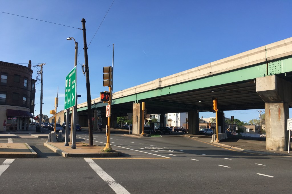
Another element of the “safety surge” will aim to slow down motor vehicles at crash-prone intersections, with a particular focus on intersections near parks, schools, community centers, or housing for older adults.
The city is also aiming to redesign at least two dozen intersections every year, with improvements that will allow for better visibility for bikes and pedestrians, and slower speeds for motor vehicles.
We’ve reached out to City Hall to ask which intersections are going to be targeted for safety improvements first, and we’ll update this story when we hear a response.
A final element of the safety surge is an update to the city’s traffic signal policy, which was last updated in 2018.
The new edition requires the city’s engineers to consider new performance measures for evaluating traffic signal operations, including pedestrian delay and “Lowest Pedestrian Speed Accommodated.”
The new signal policy also acknowledges the conflict between free-flowing traffic – the traditional goal of traffic engineers – and pedestrian safety.
“The goals of traffic safety and driver convenience may conflict when it comes to arterial signal coordination,” reads a new section of the city’s updated Signal Operations Design Policy. “Policies that aim to avoid long intervals of unused green time (i.e., signals that remain green for cars that may still be several blocks away from an intersection) may slightly degrade vehicular MOEs (measures of effectiveness) for arterial traffic, but help improve safety for all users and often improve MOEs for pedestrians.”
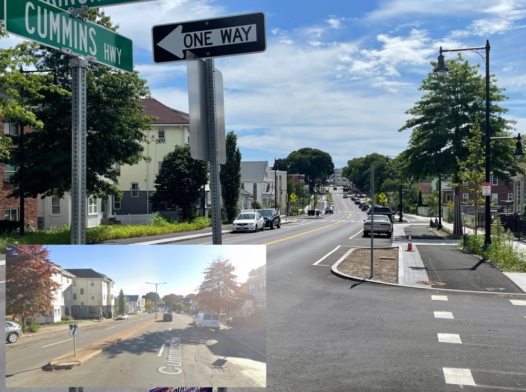
Finally, while the Neighborhood Slow Streets initiative is no longer adding new projects to its pipeline, the city says it will close out the program in four final neighborhoods during the 2023 construction season.
Those projects (which are among the areas highlighted in red in the map above) will add speed humps and intersection improvements around South Street and Healy Field in Roslindale, between Blue Hill Ave. and Warren Street east of Nubian Square, in the Hancock Street Triangle near Upham’s Corner, and in Chinatown.

Read More:
Streetsblog has migrated to a new comment system. New commenters can register directly in the comments section of any article. Returning commenters: your previous comments and display name have been preserved, but you'll need to reclaim your account by clicking "Forgot your password?" on the sign-in form, entering your email, and following the verification link to set a new password — this is required because passwords could not be carried over during the migration. For questions, contact tips@streetsblog.org.