Eyes On the Street: Safer Side Streets In Jamaica Plain
The Boston Transportation Department has installed new bikeways and over a dozen new speed humps on three one-way side streets in Jamaica Plain.
As bike routes, the three streets provide better connections between Centre Street, Jamaica Plain’s primary commercial district, and the greenways that encompass the neighborhood on either side.
But the more significant change to these streets might be the addition of new speed humps, consistent with Mayor Wu’s new “safety surge” for neighborhood streets.
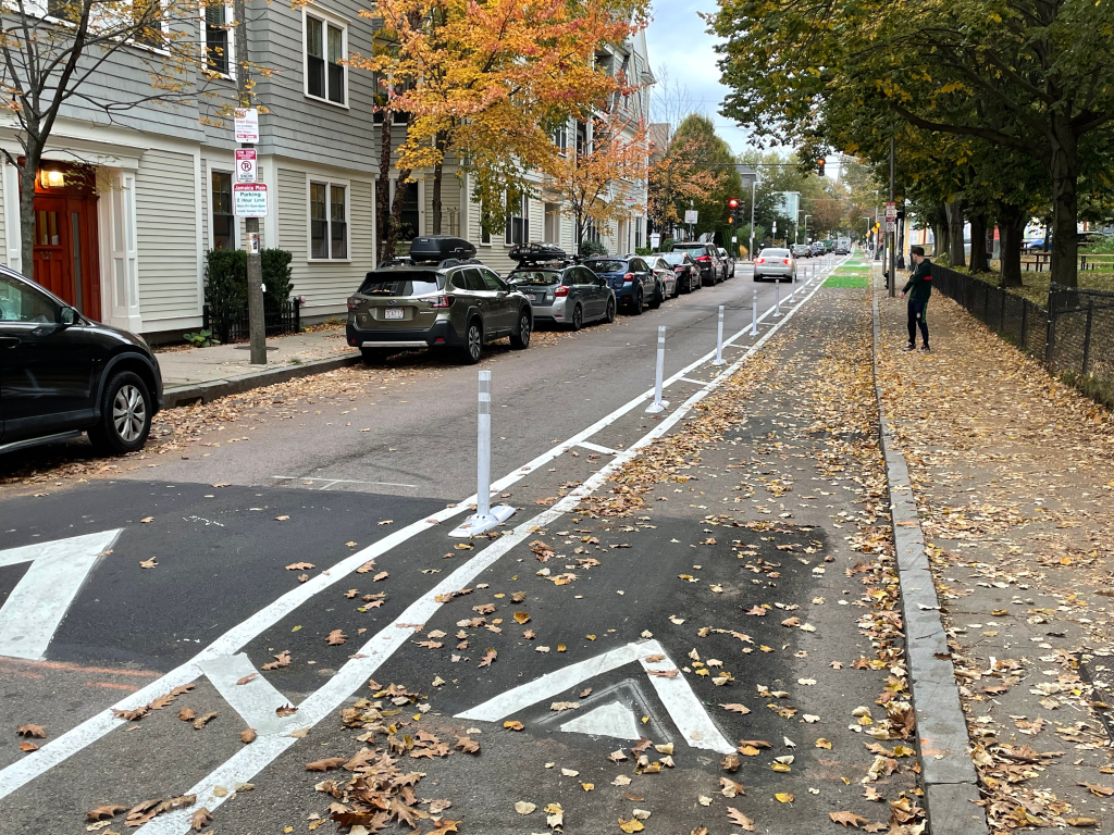
These three streets all feature long straight sections where drivers often used to accelerate to dangerous and illegal speeds.
But with the speed humps and new bike lanes – which make the driving lanes more narrow – people driving motor vehicles seem to be much more likely to stay under the new 20 mph speed limit.
When your StreetsblogMASS editor took these photos on his bike, he found that he was traveling at roughly the same speed as the people in cars.
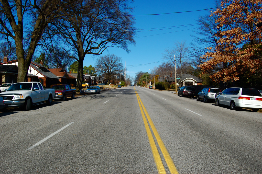
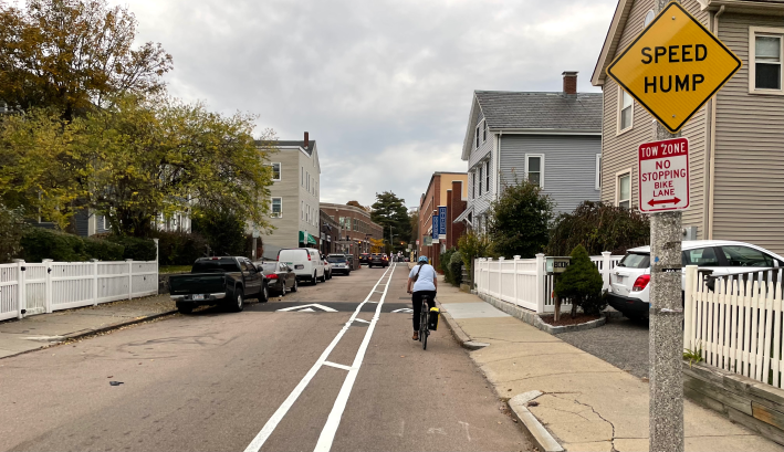
Eliot Street
Eliot Street was previously a one-way street that runs from the southern edge of Jamaica Pond to the Sailors Monument at the corner of South and Centre Streets.
It’s still a one-way street for motorized vehicles, but BTD has installed a contraflow bike lane to legalize northbound bike traffic as well:
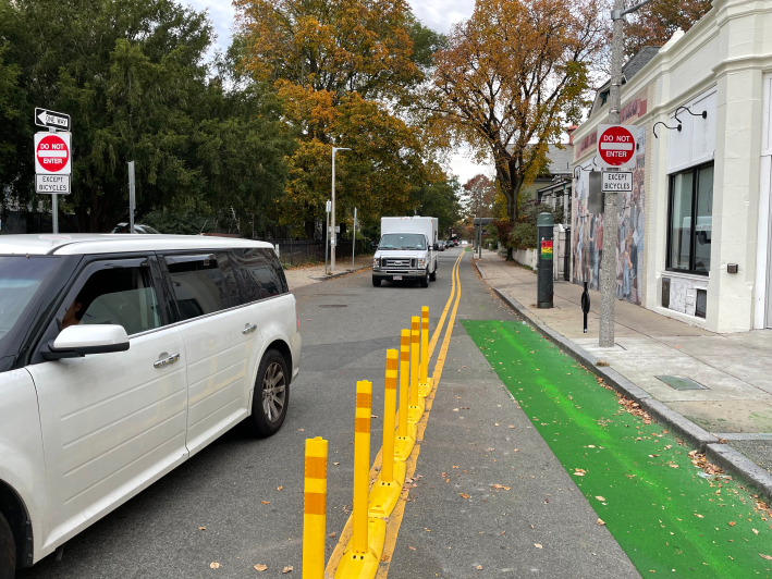
The Google Street View car has already been down Eliot Street since the new bike lane went in, so you can take a virtual tour of the entire street.
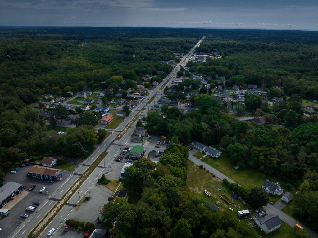
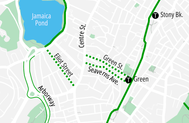
Seaverns Avenue and Green Street
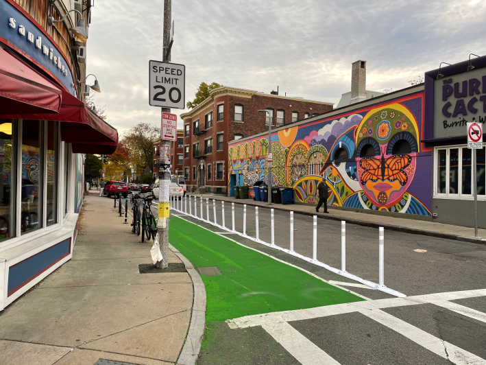
A few blocks to the northeast, the city installed a pair of one-way bikeways on Seaverns Avenue (running east from Centre Street to the Southwest Corridor) and on Green Street (running west, from the Southwest Corridor to Centre).
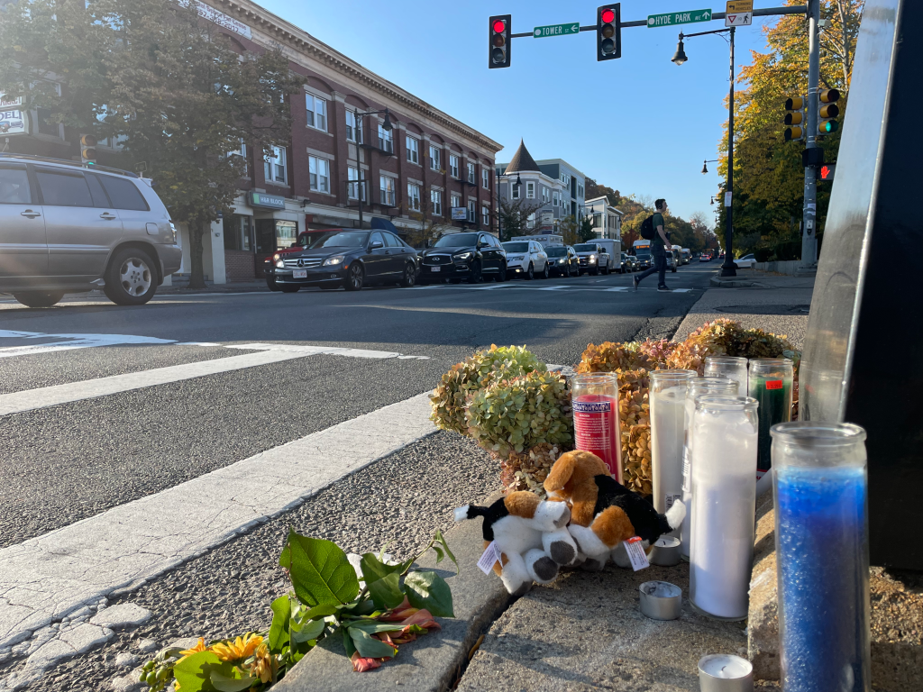
Note the new 20 mph speed limit sign. Similar signs have been put up at the entrance to Eliot Street near Jamaica Pond and at the entrance to Green Street near the subway station:

Read More:
Streetsblog has migrated to a new comment system. New commenters can register directly in the comments section of any article. Returning commenters: your previous comments and display name have been preserved, but you'll need to reclaim your account by clicking "Forgot your password?" on the sign-in form, entering your email, and following the verification link to set a new password — this is required because passwords could not be carried over during the migration. For questions, contact tips@streetsblog.org.