Worcester to Tame One of Its Most Dangerous Streets With Narrower Roadway, Protected Bike Lanes
The City of Worcester last week held a public hearing for a proposed reconstruction of Chandler Street, one of the city’s most dangerous roadways, that would narrow the roadway to tame traffic and create space for physically-protected, sidewalk-level bike lanes.
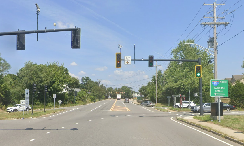
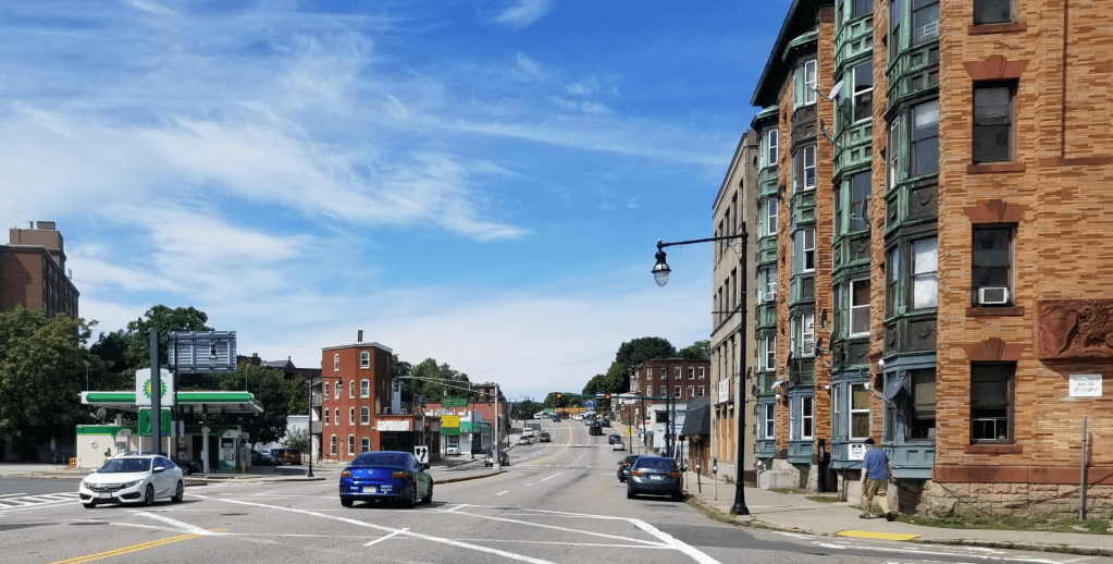
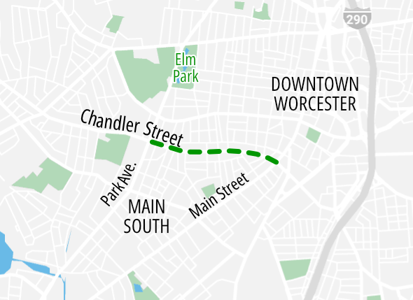
Chandler Street runs from Main Street at the edge of downtown Worcester to Tatnuck Square on the city’s western edge. Through more suburban neighborhoods west of Park Avenue, it is a two-lane city street, but for a mile-long segment in the densely-populated Piedmont neighborhood, between Park Ave. and Main Street, it’s a considerably wider four-lane street with on-street parking.
“It’s got the typical problems you see on four-lane streets: there are double-threat crosswalks that make it really difficult to cross as a pedestrian, cars weaving around each other, lots of crashes,” says Stephen Rolle, Commissioner of Worcester’s Department of Transportation and Mobility.
In terms of safety, Rolle says that this segment of Chandler Street is “one of the worst” in the entire city.
It includes 9 intersections that rank among MassDOT’s “top 5 percent” crash location clusters, and the entire mile-long segment also ranks among the top 5 percent of the Commonwealth’s most dangerous streets for crashes involving pedestrians or people riding bikes.
Plan would swap redundant car lanes for protected bikeways
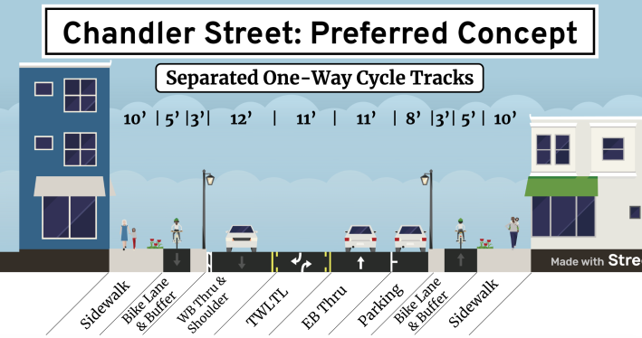
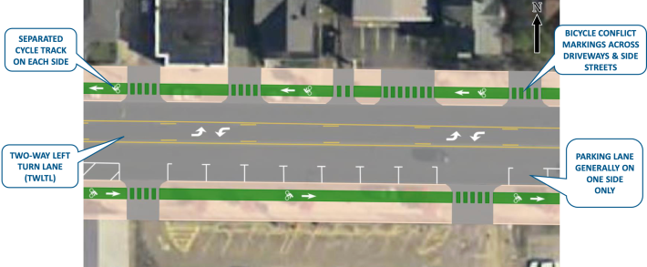
The city’s plan, which is still being refined, would mitigate the risks of crashes by consolidating the street’s motor vehicle traffic into a single lane in each direction, with a center left-turn lane.
The street’s on-street parking lanes, which have relatively low levels of utilization, would be consolidated to one side of the street only.
Those two changes would narrow down the roadway to encourage slower, safer speeds, while freeing up enough space on each side of the street to build new sidewalk-level bike lanes in the space where the existing on-street parking is:
These new bike lanes would set up Chandler Street to become a major east-west bike route across the city. Worcester is planning another “complete streets” project further west on Chandler Street, next to Worcester State University, with a pair of roundabouts and shared-use pathways.
‘Really positive’ reception from neighbors
City of Worcester Department of Transportation and Mobility staff presented the concept at an in-person neighborhood meeting on Thursday, November 16th.
Rolle, the Department Commissioner, said that while some people had questions about particulars of the plan, the overall reception was “really positive.”
“People are really excited about the project. There’s an overwhelming consensus – at least among the people who attended – that we need to re-think this street and re-establish a sense of place there… People are in agreement that we really need to focus on safety.”
Karin Goins, a street safety advocate affiliated with WalkBike Worcester, agreed with Rolle’s characterization, and expressed gratitude that her city is taking a new safety-focused approach to designing its streets.
“It just represents such a different approach from the city,” Goins told StreetsblogMASS in a phone call the morning after the neighborhood meeting. “It’s highway right now, and they’re really looking to design it so that it serves the neighborhood instead.”
Rolle told StreetsblogMASS that the city will host another public hearing for a more detailed “25 percent” design scheme sometime in mid-2024.
The actual reconstruction of the street would be split into two phases, with the eastern portion (from Queen to Main Street) built in 2026, and the western portion (from Park to Queen) built in 2027.

Read More:
Streetsblog has migrated to a new comment system. New commenters can register directly in the comments section of any article. Returning commenters: your previous comments and display name have been preserved, but you'll need to reclaim your account by clicking "Forgot your password?" on the sign-in form, entering your email, and following the verification link to set a new password — this is required because passwords could not be carried over during the migration. For questions, contact tips@streetsblog.org.