Una Ciudad, Un Sistema (One City, One System): A Mexico City Travel Guide
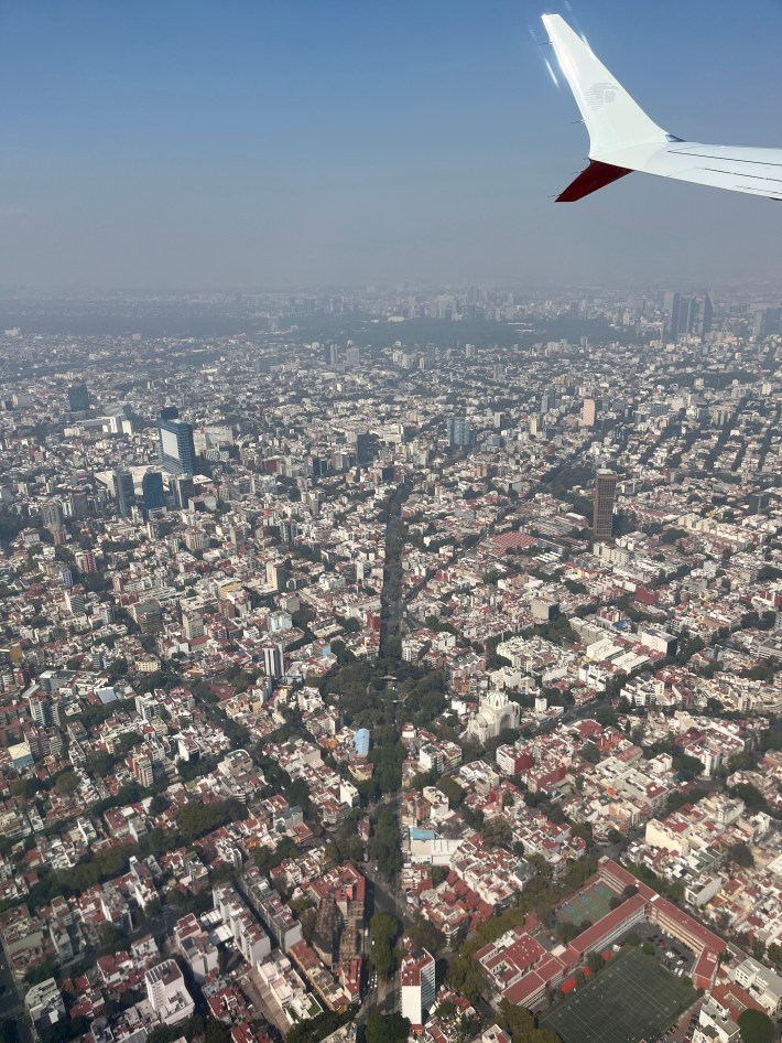
For no particular reason at all, I wanted to make sure I was not physically or emotionally in the United States on January 20th, and I wanted to explore a new area that has always been on my list that wasn’t too far to get to for a long weekend. Before I knew it, I was on a plane to Mexico City to meet up with a friend.
The weather was in the 70s, my news apps were muted, and I felt my anxieties and dread fade away. Mexico City was easily one of the most beautiful and exciting cities I have ever been to, and the city’s care for its people was clear through its preservation and celebration of culture, offerings of third spaces, and access to various mobility options.
Public spaces
We stayed near Paseo de la Reforma (locally known as simply Reforma), a diagonal, multi-lane avenue that runs through the heart of the city. What I did not know before touching down was that Reforma is actually closed to cars on Sundays, which lent itself to a beautiful scene where people were free to walk, run, roll, and ride along the 9-mile street. For the locals, it must have felt like any other Sunday morning; for me, it instilled me with some joy and hope for the world, to see this put into regular practice on one of the busiest, congested streets in the city.
The city is a beautiful mosaic of urban city aspects and lush green spaces, oftentimes cutting multi-lane streets down the middle.
The sustainability of the city’s green spaces can be attributed in part to the city’s rainy season, which takes place from about June to August. Being the largest city in North America, Mexico City does face challenges like urban sprawl, but the city does prioritize efforts of reforestation and climate resilience.
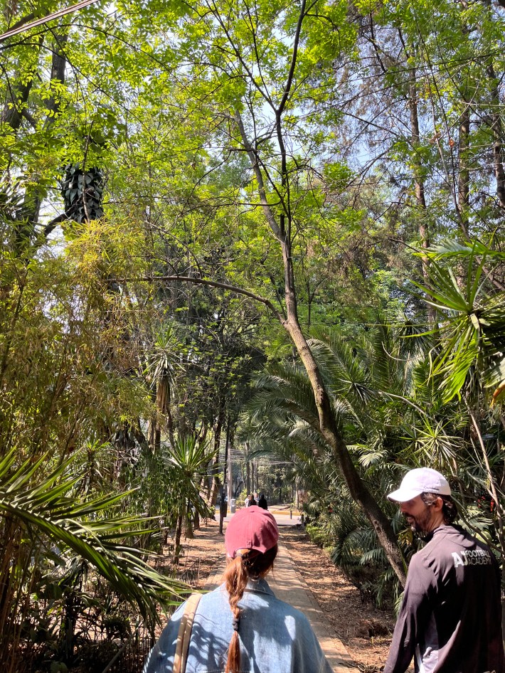
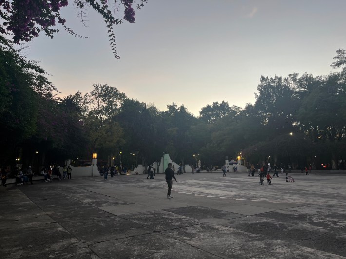
The city is home to some stunning parks. In Alameda Central in Historico Centro we sat in the sun while children played in fountains–watch out if you get too close, or it’s guaranteed you’ll get splashed.
Another morning in Condesa, after getting through the long lines at Mendl Jewish Deli, I took my breakfast sandwich down to Parque Mexico. I also happened to walk by again later in the day, and as the sun set over this large plaza area, I took pictures and wrote while people boxed and played soccer, dogs chased each other around, and kids rode their bikes, all doing separate activities yet still connected in their use of and respect for the space.
Getting around
We did take some rideshare rides (Uber is alive and well in the city, Lyft not so much), but I quickly found that traffic was pretty terrible. Emilio, our guide on one of the tours we took, described the climate and traffic regulation practices that the city employs, but it was my frustration with the traffic, curiosity, and my journalistic duty that inspired me to mix in more rides on the city’s public transit offerings.
Citymapper, my personal favorite of the transit apps, does work in Mexico City, which made it a breeze to map my routes.
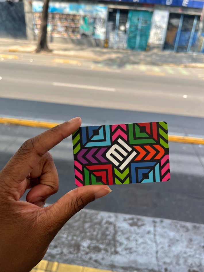
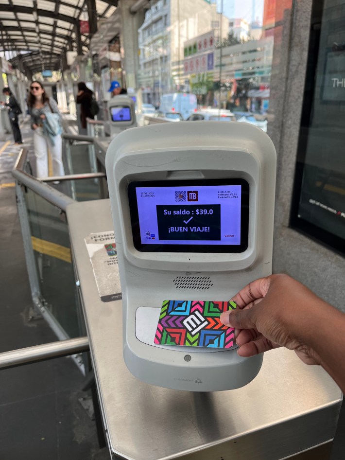
We were at first dissuaded from taking transit because some sites reported that we would have to go to an out of the way train station to get a Metro Card, but then I found other blogs that alleged that I could use Apple Pay. I confidently approached the Reforma bus station, sandwiched between two roads, and tapped my phone, only to get a big red ‘X’ and a message to try again.
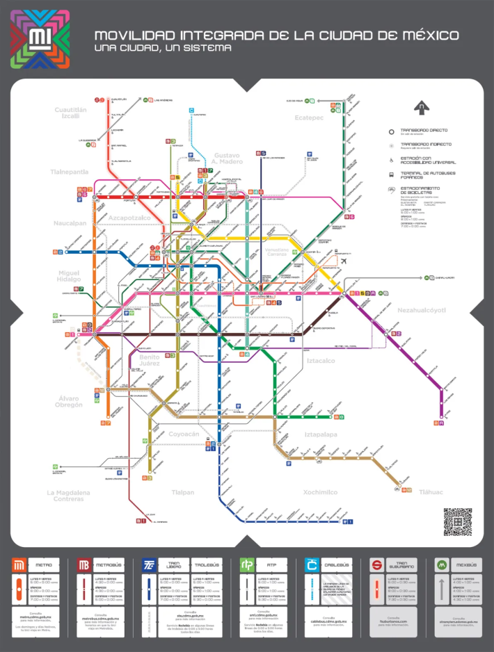
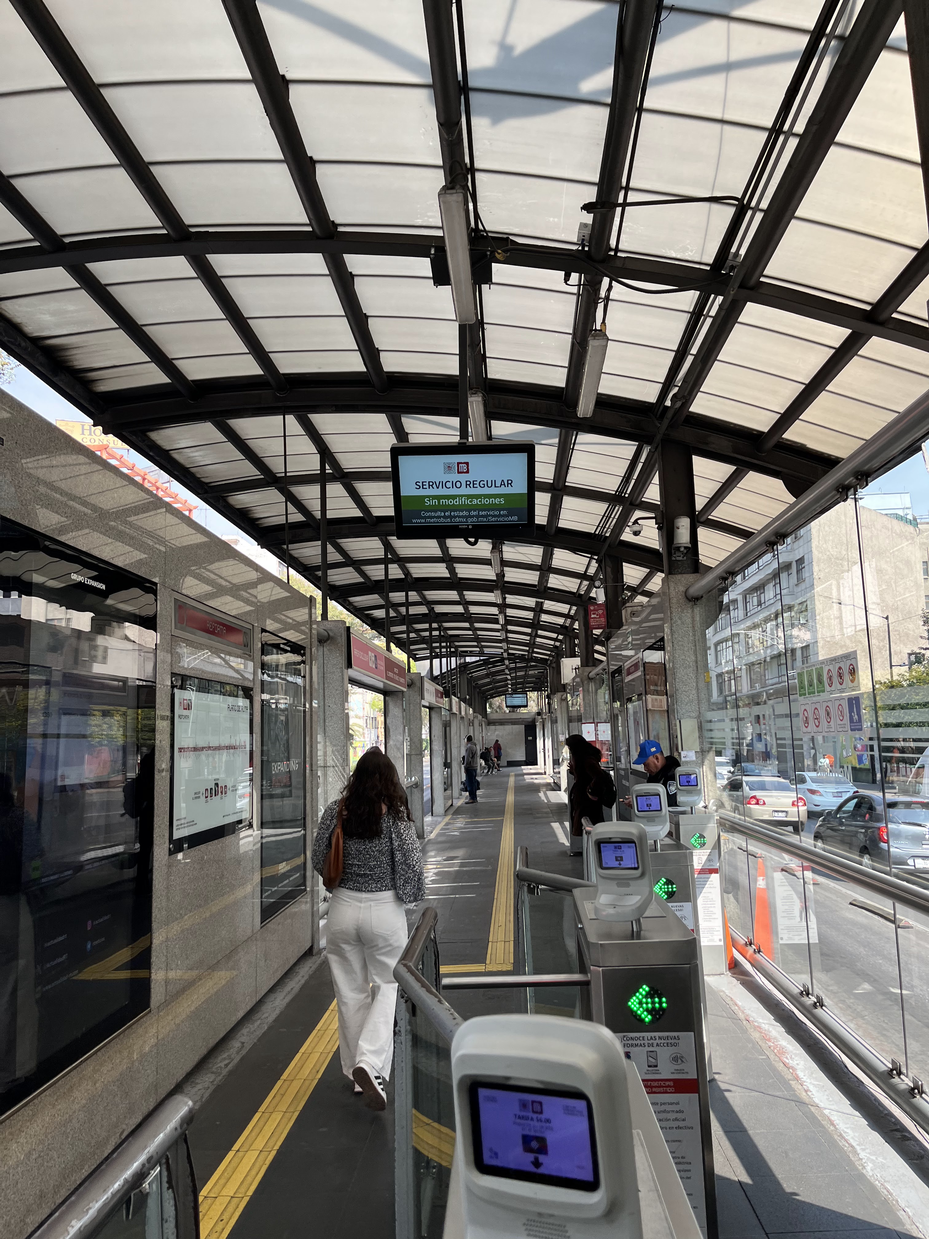
While Apple Pay did not work for me in this case, it turned out to be very easy to get a beautifully designed Metro Card, which serves as the city’s “Tarjeta de Movilidad Integrada” or “Integrated Mobility Card” that grants you access to not only the city’s heavy rail, light rail, and Metrobús bus systems, but also the Ecobici bike sharing system.
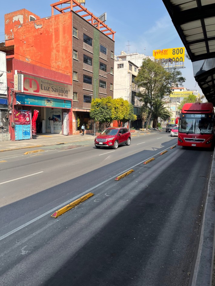
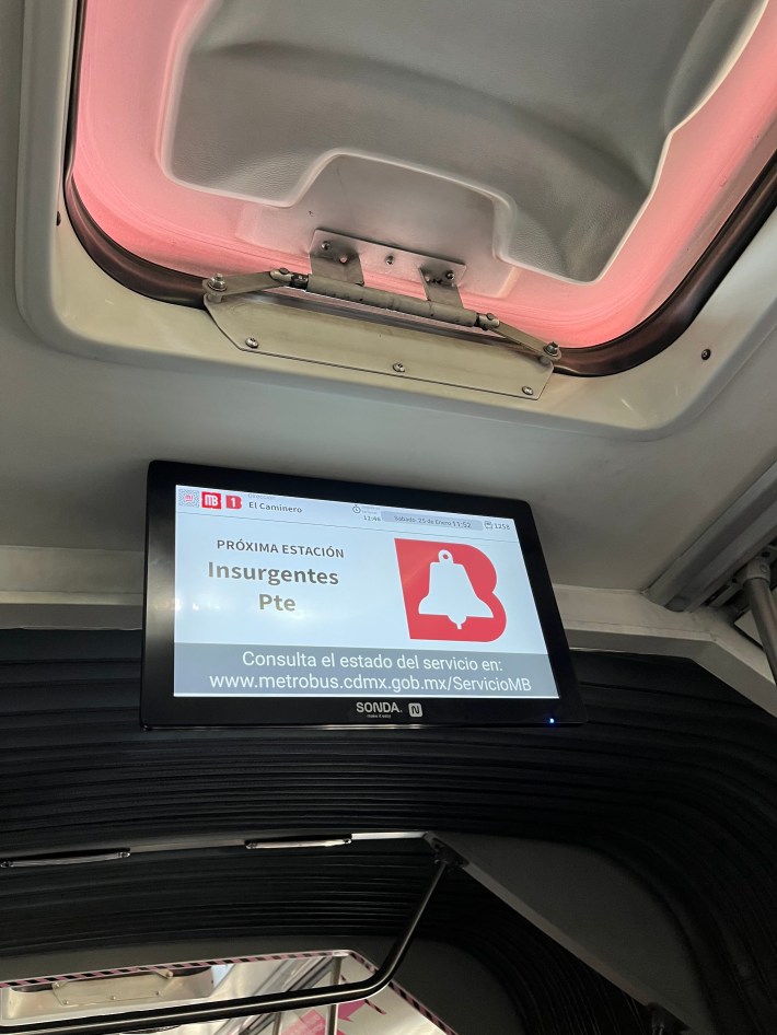
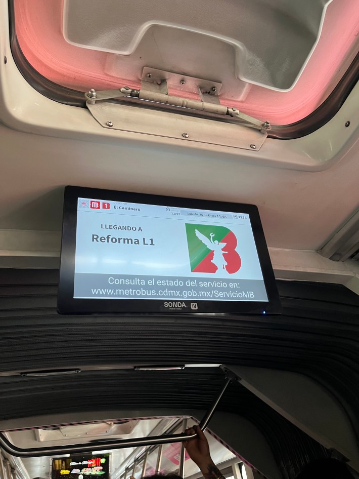
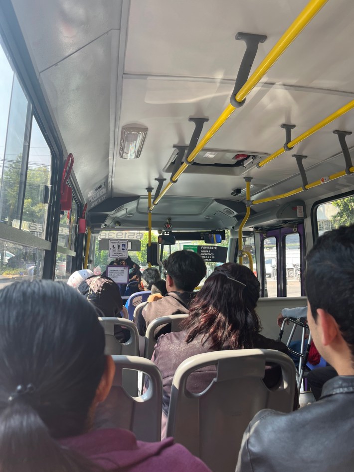
Once tapped in, there are spaces and lines aligned with the spaces where the bus stops for easy boarding and deboarding. I appreciated the safety measures like the standard yellow line to stand behind, and I was reminded of the importance of that when the approaching driver honked at me as I (wrongly) perched over the platform ledge to get a good shot of one of the newer electrified buses that read “Soy Eléctrico!” or “I’m electric!” on the sides.
It was a new and interesting way to see the city, as cars take more main roads and walking takes a little more time to cover as much ground.
While the only transit we took was above ground, Mexico City has an underground heavy rail Metro with 12 different lines. Emilio, when taking us to a local market, pointed out a currently closed Line 1 stop, which he shared has been under construction as part of a major modernization project (sound familiar?). However, he did mention that the project’s end is in sight, and that he and the community are excited to have the city’s transit lifeline back in operation.
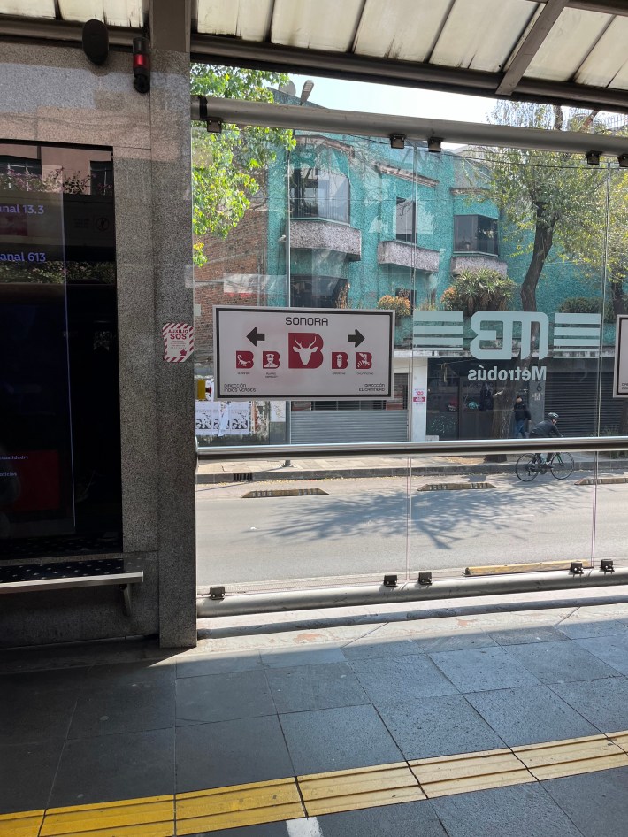
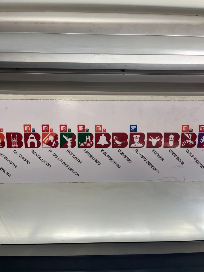
Back on the bus, I noticed that each stop had an icon, which was so interesting to me and was fun to try to guess what each of them might have represented. When I later looked it up, I found that the icons were designed by Lance Wyman, were influenced by the city and each stop’s history and culture, and served to streamline navigation and make stops easily recognizable and understandable to all riders, especially those with limited literacy, which I thought was an innovative show of accessibility and cultural preservation.
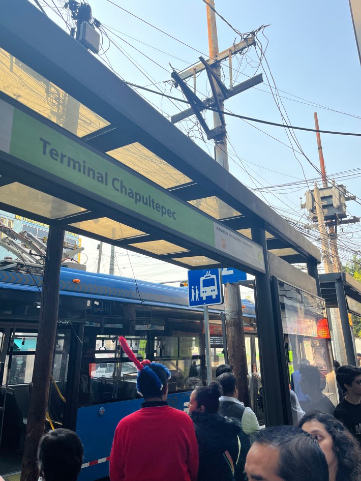
Making our way through the city to the highly recommended destination of Chapultepec Park, Citymapper informed me that we would be able to catch the 24A bus there. The stop was along the routes of a couple different buses that came by that did not look like they were part of the Integrated Mobility System, which I later learned were peseros (privately owned micro-buses). When I finally saw the purple bus turn the corner, I stood at attention on the curb, as one does, making eye contact and sending a mental message to the driver that I was hoping to hop on.
However, the driver must not have gotten my message, because he didn’t even pretend to stop. I did not worry, though, as Citymapper reassured me that buses came every 5 minutes.
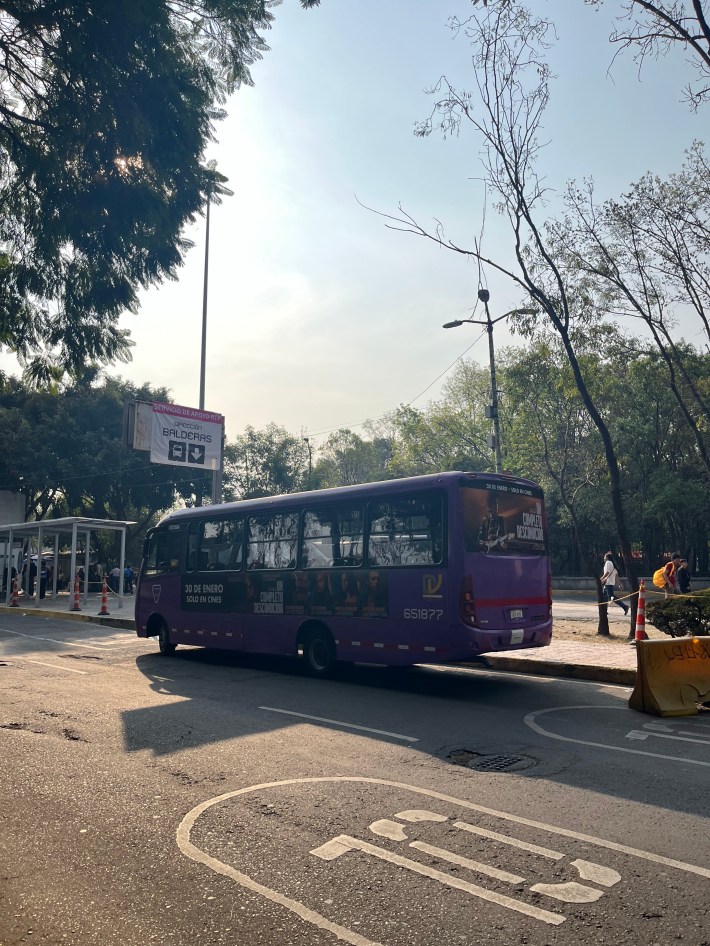
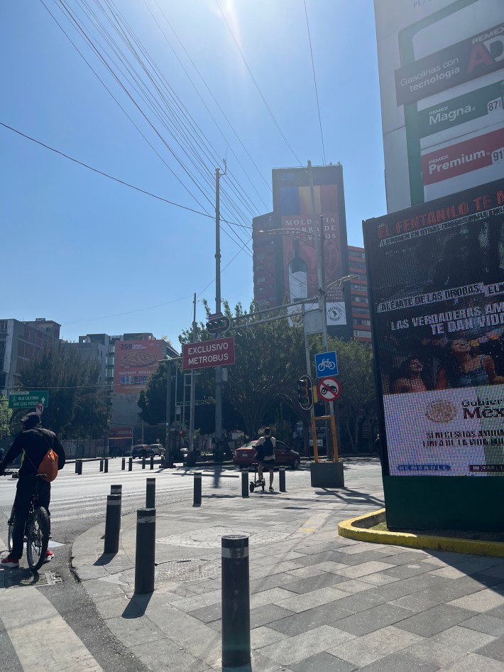
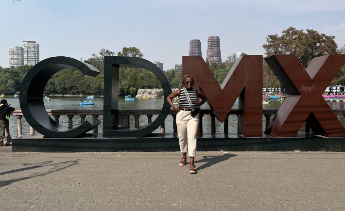
Naturally, the next bus did not come for 30 minutes. But we persevered, waiting on the edge of the bike lane. More riders joined us as we peered around the sidewalk-lined planters and trees down the street, more peseros came and went, but no purple bus. When it finally, finally arrived, it was a seamless trip, thanks to the city’s “Exclusivo Metrobus” (bus-only) lanes, to the oldest and largest urban park in Latin America, one of the oldest urban parks in the world, and home to a number of historical attractions.
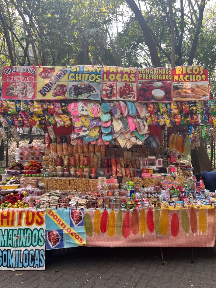
Along the walking paths of Chapultepec Park, you can stroll through gardens, visit the Castillo de Chapultepec, the Museo Nacional de Antropologia, visit the animals at the Zoológico de Chapultepec, pedal along the Lago de Chapultepec (it’s harder than it looks, folks), and connect with street food and souvenir vendors as their stands line this massive park.
Later on, we were able to catch the Xochimilco Light Rail from the park to the Roma Norte neighborhood, operating on a cable car system across the city. This car quickly filled up, with the red “PARE” (“stop requested”) sign flashing as commuters went about their days.
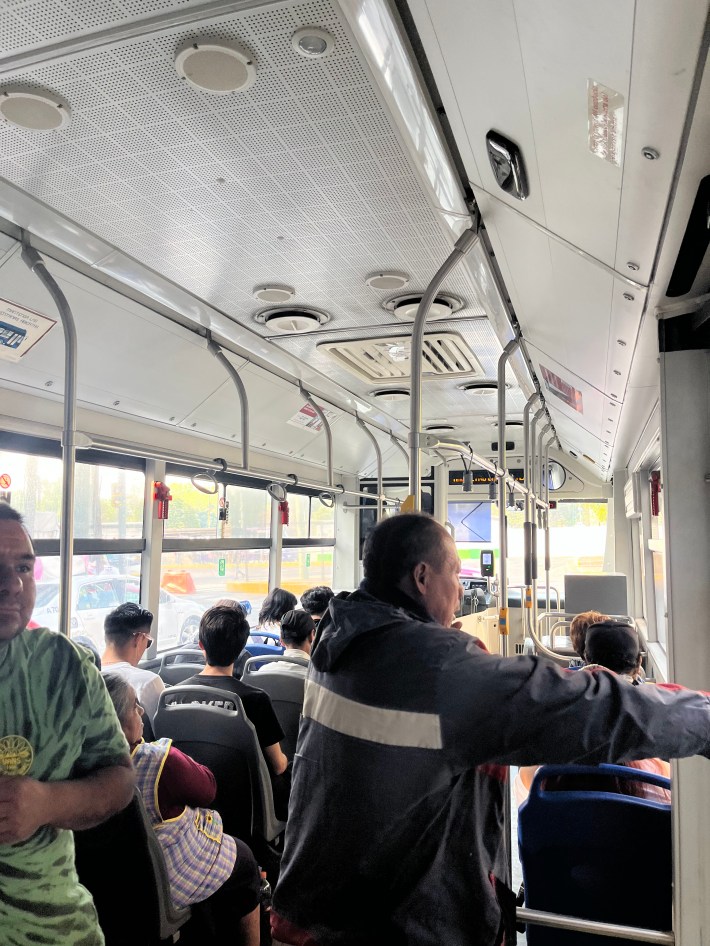
On each of these forms of transit, the process was positive, seamless, and straightforward. I very easily got where I needed to go, and got to learn more about Mexico City’s history, urban planning, and the residents’ relationship with the city.
Overall, the experience of being in the city was refreshing and exciting, and I was most taken by the indigenous culture, the stellar fusion of cuisine, and how connected the city and its people felt, physically and emotionally. I hope to come back soon, and I hope to return to living in a place that makes me feel even a fraction of this way.
A Few More Mexico City Recommendations (That Aren’t Taking Transit):
- Casa Jacaranda for a lesson in cooking, history, and connection all in one
- Salon Palomilla for a cool open air cocktail bar vibe
- Hot Balloon Ride over the Teotihuacan Pyramids for a historical bucket-list worthy adventure
- Tacos Los Alexis for out of this world tacos
- Azul Historico for a delicious authentic Mexican dinner
- Contramar for fresh seafood (don’t sleep on the tuna tostadas or the octopus)
- Lucha Libre for culture, theatrics, and community gathering

Streetsblog has migrated to a new comment system. New commenters can register directly in the comments section of any article. Returning commenters: your previous comments and display name have been preserved, but you'll need to reclaim your account by clicking "Forgot your password?" on the sign-in form, entering your email, and following the verification link to set a new password — this is required because passwords could not be carried over during the migration. For questions, contact tips@streetsblog.org.