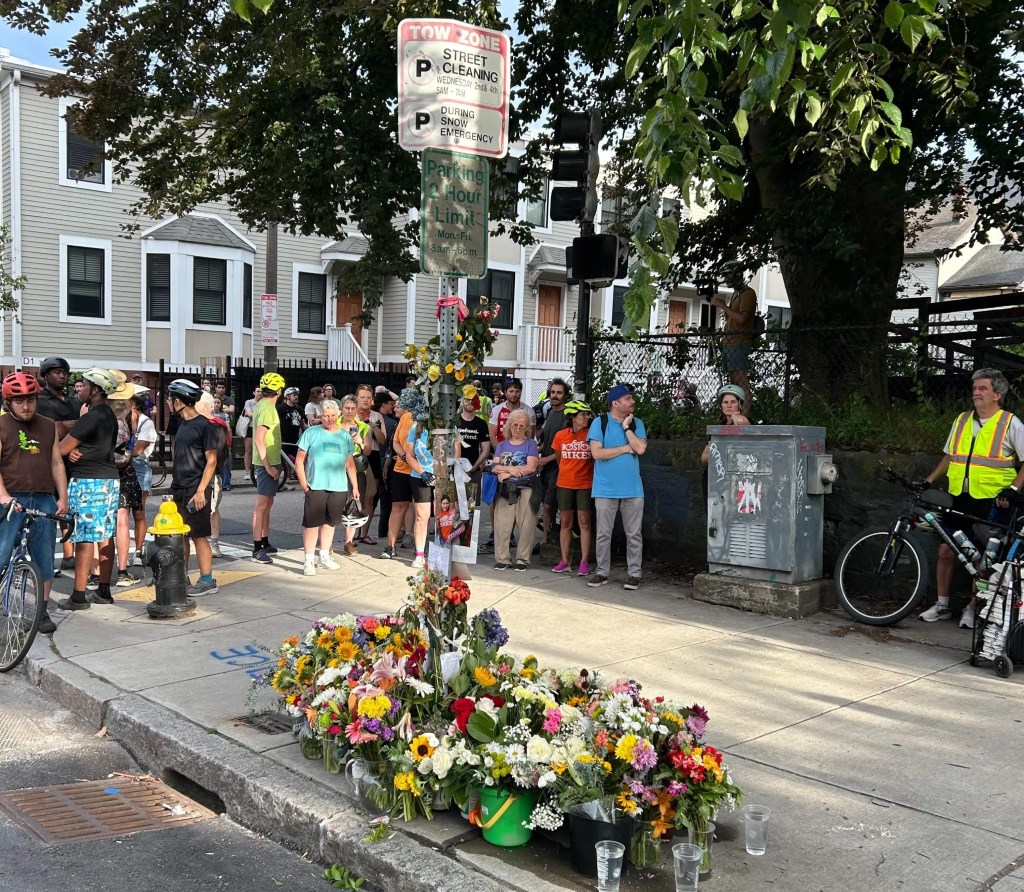
Eyes On the Street: One Less Lane On Brookline’s Hammond Pond Parkway
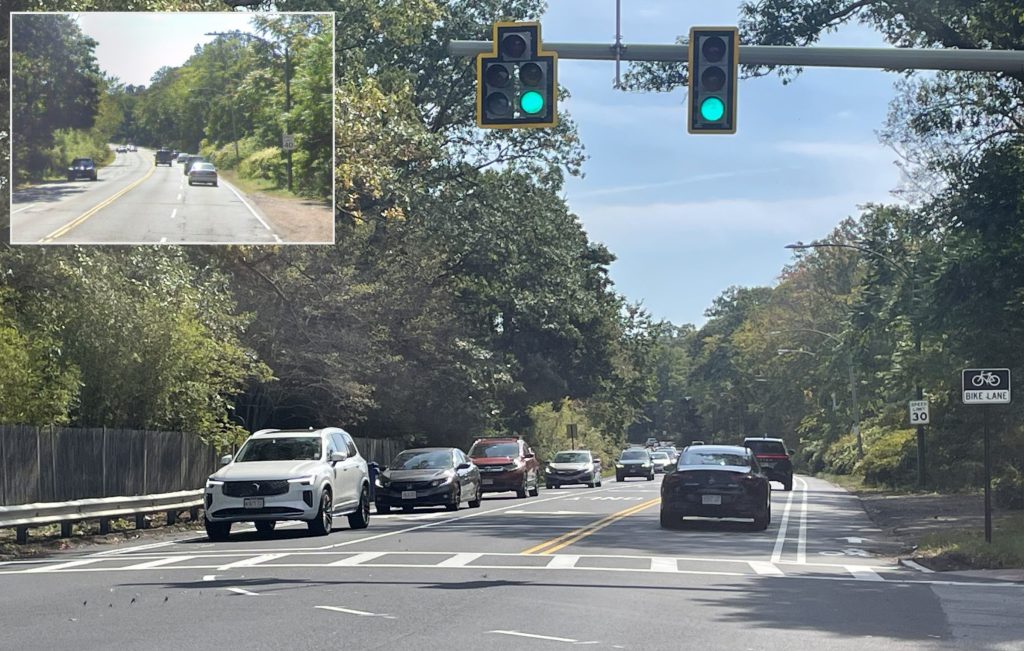
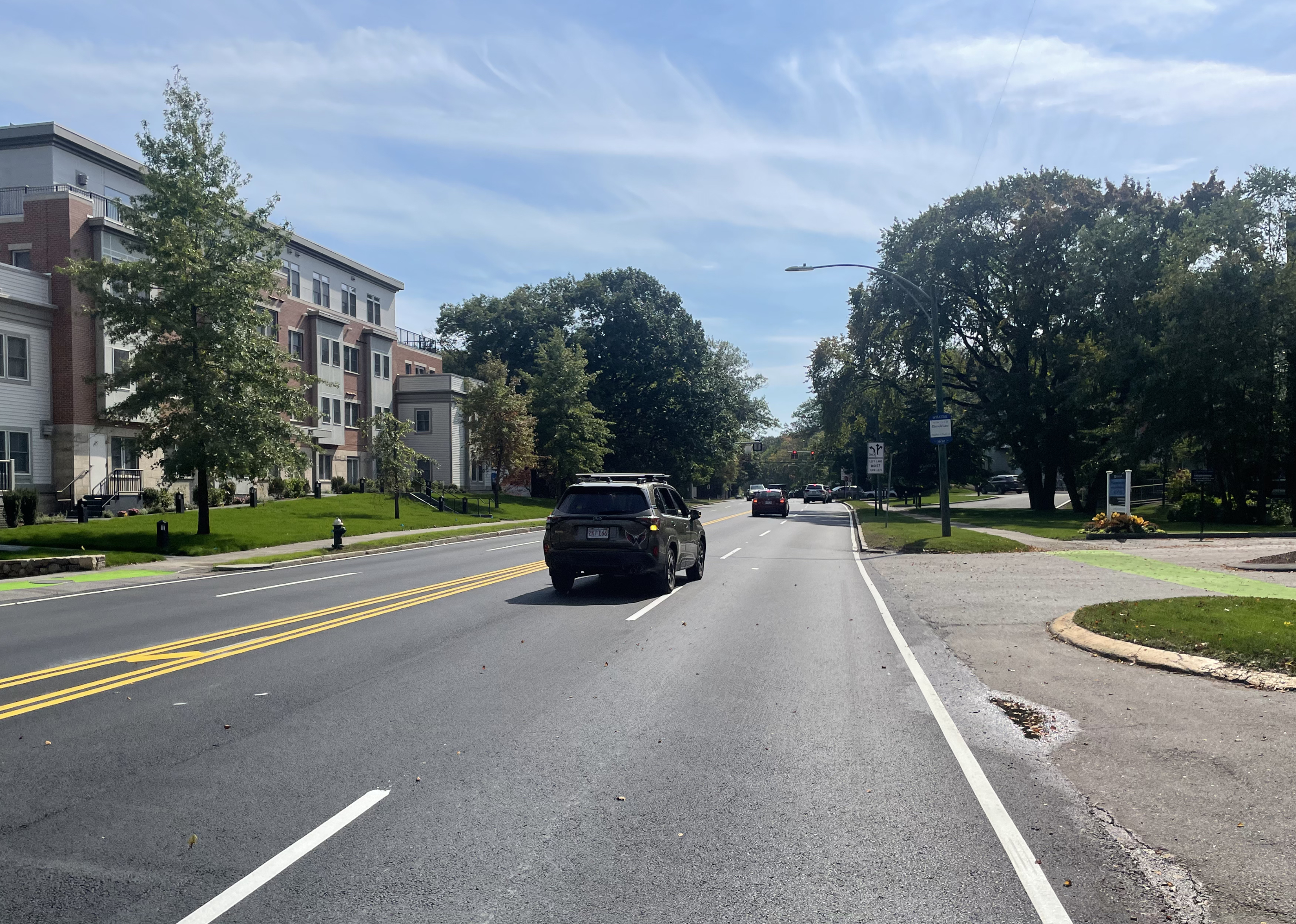
As part of a routine repaving project, the state’s Department of Conservation and Recreation has reduced the number of lanes and the official speed limit on part of Hammond Pond Parkway south of Route 9 in Brookline.
The new roadway layout extends 0.7 miles from Heath Street (near the Chestnut Hill shopping malls) to the Horace James Circle traffic rotary.
Hammond Pond Parkway is under the jurisdiction of the Department of Conservation and Recreation (DCR), the state’s parks agency, which is responsible for the changes.
Like many of the DCR’s “parkways,” Hammond Pond Parkway had previously been a four-lane highway with a 40 mph speed limit – a reflection of 20th-century policies that sacrificed hundreds of acres of state parkland to subsidize high-speed driving.
In 2020, after years of delay and some digging from StreetsblogMASS, DCR released a new Parkways Master Plan that made recommendations to improve safety and accessibility on dozens of the DCR’s roadways throughout the region.
“We’re running the Parkways Master Plan through the annual maintenance program,” explained Dan Driscoll, the DCR’s Director of Green Transportation, in a phone call with StreetsblogMASS last week. “If we’re repaving things anyway, what can we do to make it safer?”
The 2020 Parkways Master Plan recommended that DCR should look into the removal of one motor vehicle lane from Hammond Pond Parkway between Heath Street and Horace James Circle, and use the leftover space to create new bike lanes along the roadside.
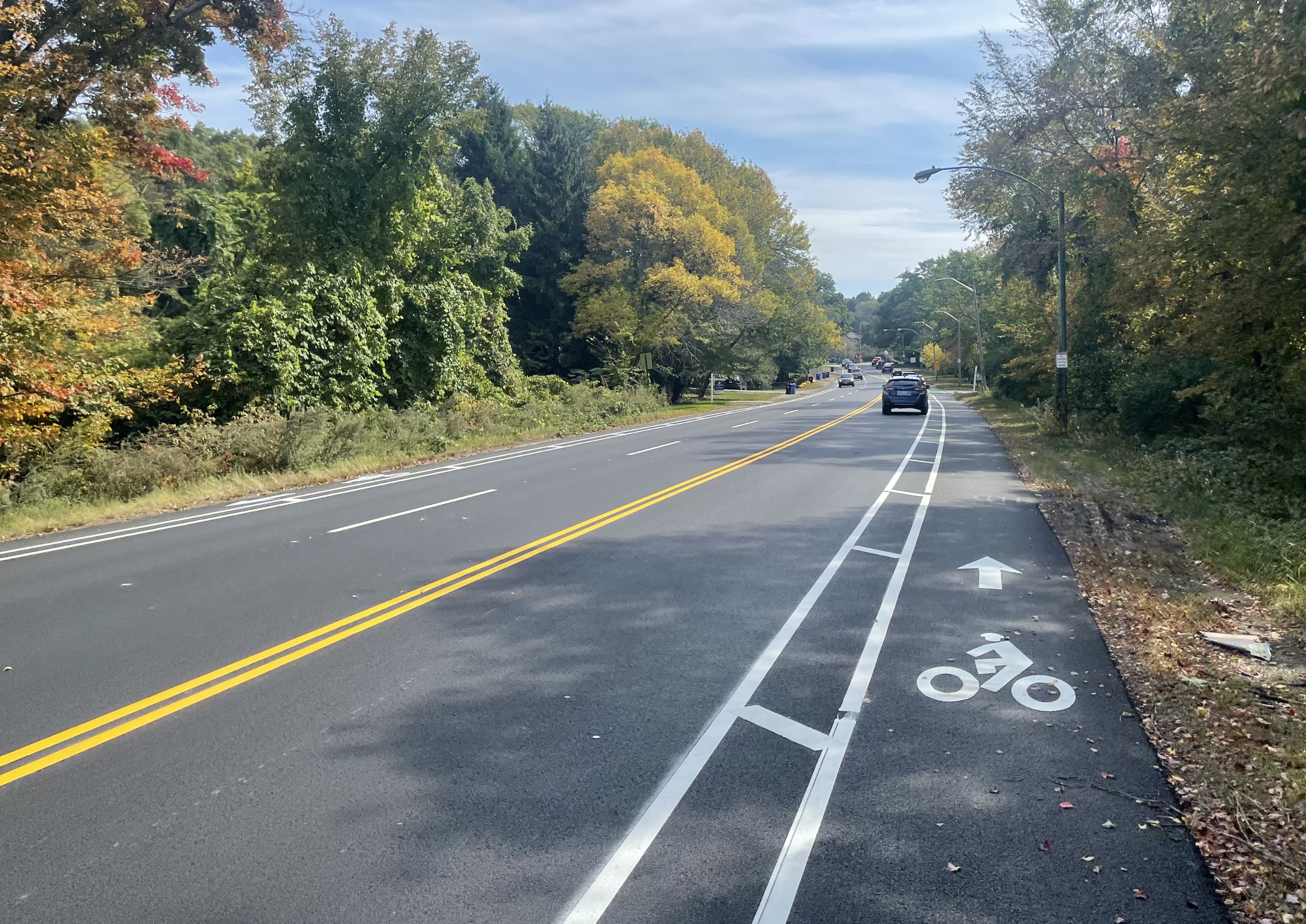
The northbound lanes of Hammond Pond Parkway lead into the Chestnut Hill mall area, with its significant traffic congestion, but southbound, the roadway leads into a low-density residential neighborhood next to Brookline’s municipally-owned golf course.
“Our data showed that we could eliminate that (southbound) lane and not create traffic issues,” Driscoll told StreetsblogMASS. “Everyone understands that if we can expand safety for a lot of users, we should. So our whole parkway approach now is we can tolerate a little increase in traffic for the tradeoff of improved safety.”
DCR’s second Hammond Pond Parkway project
The road diet in Brookline echoes another lane reduction that DCR finished last year, as part of a complete reconstruction of Hammond Pond Parkway north of Route 9.
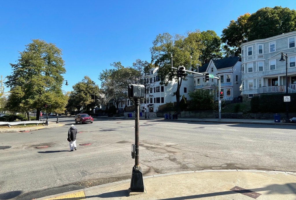
That new path ends on the north side of the interchange where Hammond Pond Parkway intersects with the on- and off-ramps to Route 9 (pictured below), about a quarter-mile from Heath Street.
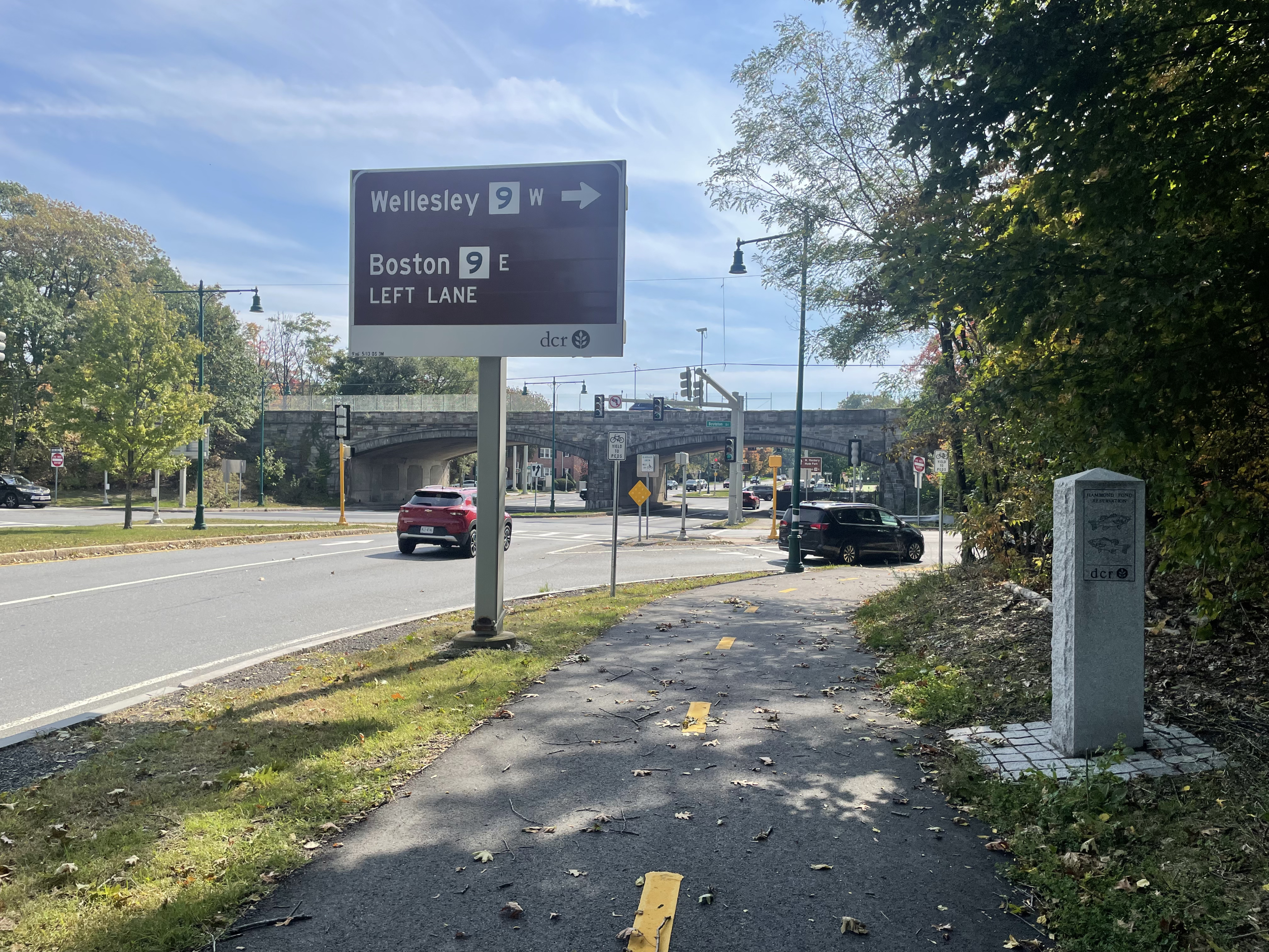
For bicycle users trying to travel the entire length of Hammond Pond Parkway from Newton to Horace James Circle, there’s still a quarter-mile gap in bike infrastructure between Route 9 and Heath Street, where the parkway runs through a cluster of mid-rise apartment buildings.
The Parkways Master Plan recommends extending the new Hammond Pond shared-use pathway further south through this segment.
“South of the Route 9 eastbound offramp, DCR’s right-of-way is wide enough to extend the shared use path to Heath Street along the west side of the parkway,” the plan observes.
However, that would require more substantial construction, and it was beyond the scope of this autumn’s paving project.
In the meantime, DCR officials told StreetsblogMASS that the agency did make efforts to improve the sidewalks on that segment, and added green paint to make those walkways more visible at driveways (see photo below).

Read More:
Streetsblog has migrated to a new comment system. New commenters can register directly in the comments section of any article. Returning commenters: your previous comments and display name have been preserved, but you'll need to reclaim your account by clicking "Forgot your password?" on the sign-in form, entering your email, and following the verification link to set a new password — this is required because passwords could not be carried over during the migration. For questions, contact tips@streetsblog.org.