In a virtual meeting on Wednesday, Oct. 21, the Massachusetts Department of Conservation and Recreation (DCR) presented preliminary designs for a major renovation of the Arborway in Jamaica Plain that would convert multiple motor vehicle lanes to parkland and fill a missing link in the Emerald Necklace with new bicycle and pedestrian paths.
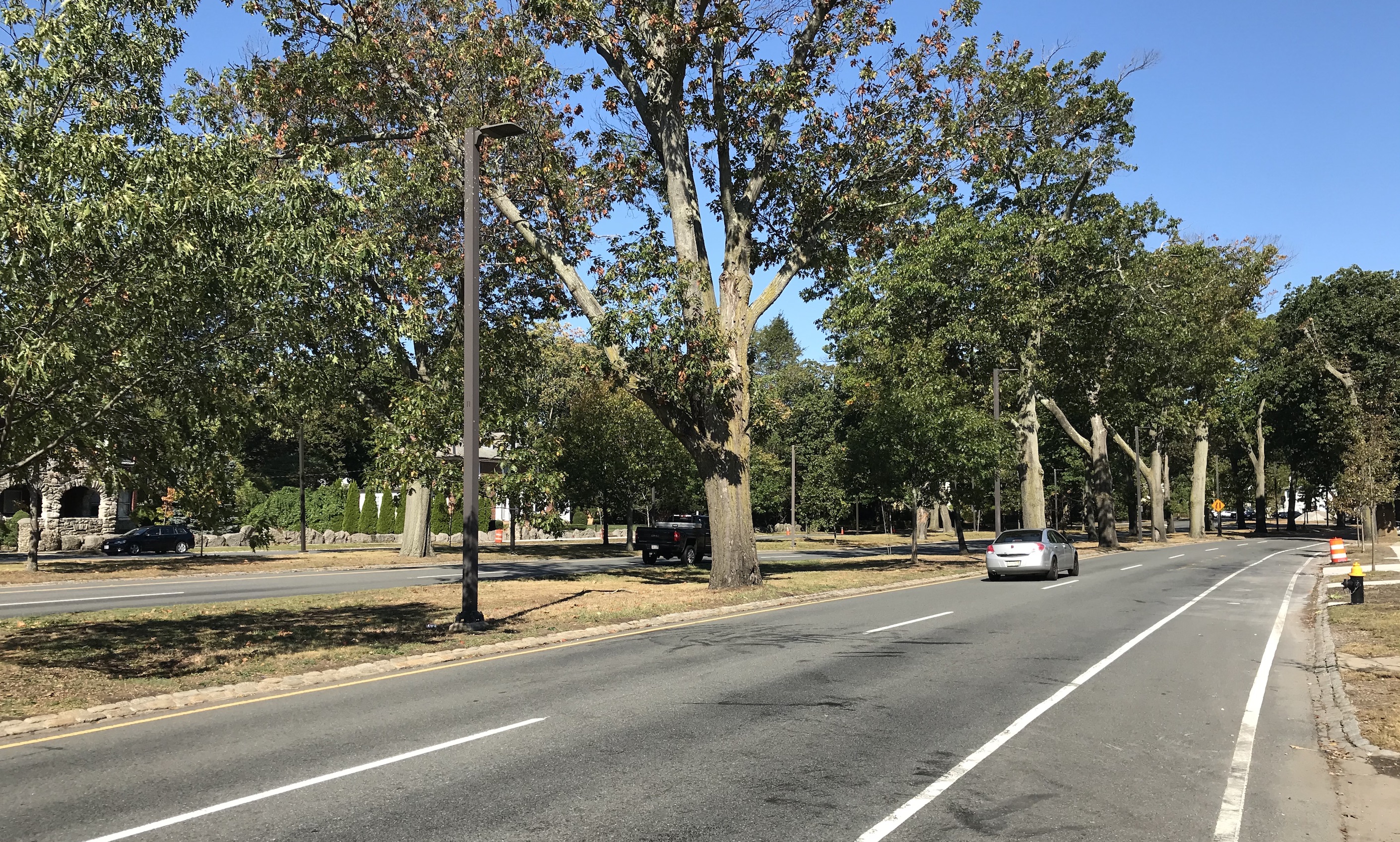
The DCR's Arborway Improvements Project has been working for the past year to plan a long-term reconfiguration of the Arborway's multi-lane roadways, which follow a winding, mile-long route from Jamaica Pond to the Forest Hills T station, and are notorious for their speeding traffic and crashes.
According to DCR officials, the project is aiming to improve safety, accessibility, and connectivity for all users of the Arborway – not just cars – and to better honor designer Frederick Law Olmsted’s historic vision for the parkland.
Earlier this fall, the agency announced a suite of short-term improvements that will re-stripe the existing roadways to close some motor vehicle lanes and create buffered bike lanes in their place. The proposed longer-term improvements, which could go under construction next year, would effectively make those changes permanent, and would also reconfigure the Kelly Circle and Murray Circle rotaries so that those intersections would occupy a smaller footprint with less pavement.
DCR officials are considering three alternative designs, which they presented at Wednesday's public meeting. All three options strive to preserve trees and reduce the Arborway's paved footprint. New bike paths and sidewalks would generally be routed through areas that are currently paved for car traffic, and new, more diverse tree plantings would be added to help buffer car traffic from other park users.
"There are some interchangeable parts (from each alternative)," explained project engineer Matthew Jasmin. "We want to know your comments for each element in each portion of the corridor."
Option A: "Two Circles"
Option A would keep both Murray Circle and Kelley Circle, albeit in a reduced footprint. In Options A and B, the outer carriageway roadways between the two circles would be narrowed to a single lane for motorized traffic, and their entrances and exits would be reconfigured so that they would no longer be a convenient short-cut for lead-footed drivers.
Click the image to see a larger version:

A note on these diagrams: the purple lines denote proposed bikeways or shared-use paths, tan lines are sidewalks, red dots denote trees that would need to be removed, light green circles are proposed tree plantings, and orange stars denote "design opportunities" for placemaking or public art interventions.
In both Option A and Option B, roughly half of the present-day carriageways, which are currently two lanes wide, would be converted to separated shared-use paths and landscaped parkland. Along the Arboretum, the Arborway would be reduced from a 4-lane layout to a 3-lane layout, with one of the southbound lanes converted into a raised, separated bike path.
View a more detailed plan of Option A here.
Option B: "One Circle"
Click the image to see a larger version:

The second option would convert Kelley Circle into a ordinary signalized intersection – thus removing a large chunk of roadway and adding a city block's worth of usable parkland to Jamaica Pond Park. The new intersection would, however, require the removal of two existing trees (highlighted in red in the diagrams above).
Option B also features a slimmer design for Murray Circle, with fewer lanes of traffic leading into and from the circle. To the south, the Arborway would be reduced to two lanes of traffic along the Arnold Arboretum.
View a more detailed plan of Option B here.
Option C: "no circles"
Option C would convert both Kelley Circle and Murray Circle into signalized intersections, and it also proposes to convert both of the outer carriage roads into low-speed shared streets in lieu of shared-use pathways.
Click the image to see a larger version:

This option would require more tree removals, particularly in Murray Circle. This option also features the narrowest roadway for motorized traffic south of Murray Circle: along most of the Arboretum, the Arborway would be an ordinary 2-lane street inside the footprint of the current northbound lanes. This option proposes converting part of the current southbound roadway into a wide shared-use pathway.
View a more detailed plan of Option C here.
How to weigh in
DCR is now solicting feedback on the three options, and has set up an interactive project website where stakeholders can mark up maps of the three options. The agency is expected to finalize a design by next spring, and hopes to begin construction shortly thereafter.


