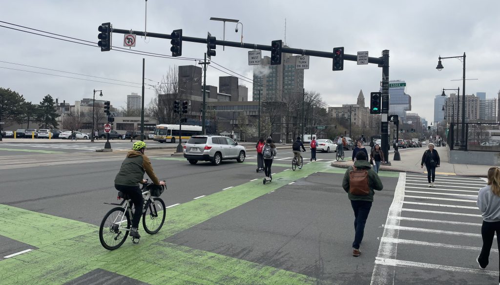
Eyes On the Street: Boston’s New Downtown Protected Bike Lanes
In the past week, Boston Transportation Department crews have installed new flexposts to delineate the city’s new “Connect Downtown” bikeway project, which fills in crucial gaps in the city’s bike infrastructure network to link the city’s downtown office buildings with major bike routes to outlying neighborhoods.
“This has been a big effort from the city and a key goal of GoBoston 2030, making it more comfortable and more possible for people to choose cycling as a mode of travel,” said Boston’s Chief of Streets, Chris Osgood, during a virtual press event on Wednesday. “We’ve been able to build out a set of bike lanes that serve as a hub for the bike network that courses into Boston’s downtown.”
The GoBoston 2030 plan includes an aspirational target to cut citywide car traffic in half – a goal that was later embraced in the city’s climate action plan – in part by quadrupling the the percentage of Bostonians who commute by bike, from 2 percent to 8 percent, within the next decade.
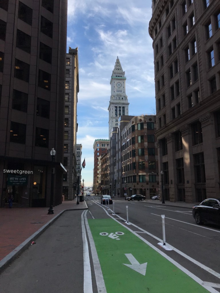
Below is our photo tour of downtown’s newly improved streets, starting from Government Center, then heading southwest along the Boston Common and looping around the Public Garden:

Read More:
Streetsblog has migrated to a new comment system. New commenters can register directly in the comments section of any article. Returning commenters: your previous comments and display name have been preserved, but you'll need to reclaim your account by clicking "Forgot your password?" on the sign-in form, entering your email, and following the verification link to set a new password — this is required because passwords could not be carried over during the migration. For questions, contact tips@streetsblog.org.