DCR Proposes New Trail Connection from Hyde Park to Blue Hills
Monday evening, the Department of Conservation and Recreation (DCR) presented conceptual design plans to connect the Neponset River Greenway to the Blue Hills via new and upgraded multi-use paths.
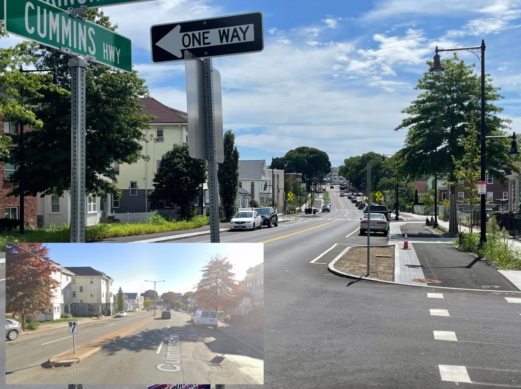
Spanning 8.2 miles, the Neponset River Greenway begins in the Boston neighborhood of Dorchester and runs along the Neponset River through the neighborhoods of Hyde Park, Mattapan and the Town of Milton. On the west side of Mattapan Square, the Greenway extends south along Truman Parkway.

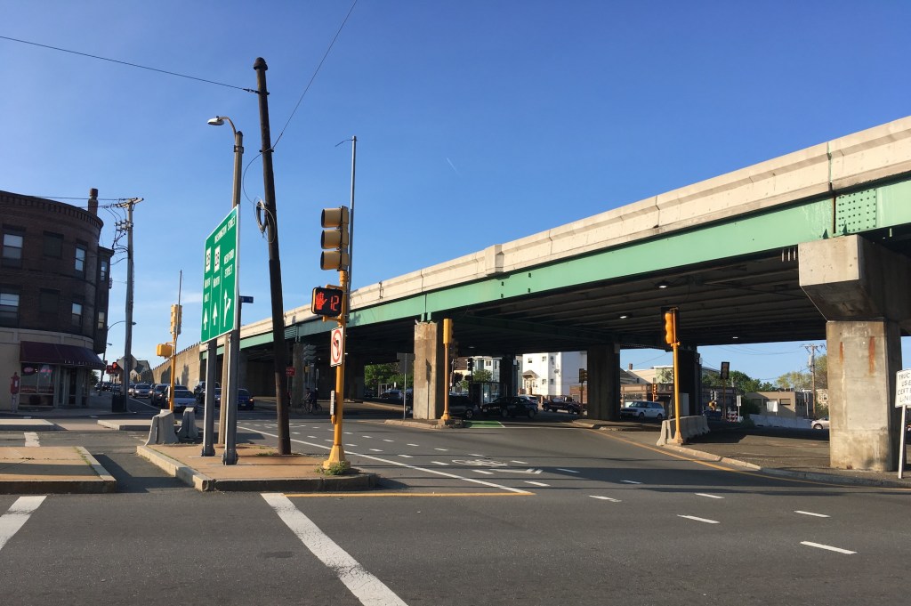
Pedestrians and bicyclists can walk or roll the trail along Truman Parkway, which has a separated shared-use path and a painted bike lane on its west side, and a narrow sidewalk on the east side. The trail currently ends at the intersection of Truman Parkway and Neponset Valley Parkway, without a connection to continue on.
Gerald Autler, DCR Project Manager, explained that DCR and its design consultants from Toole Design see this trail extension project as a way of “providing more connectivity to transit resources, the retail at Readville, Mattapan Square, as well as schools and other destinations, in a way that's safe, convenient, and healthy for everyone… whether it’s for recreation, or for going about their daily life.”
Two options are under consideration for upgrading the trail segment along Truman Parkway.

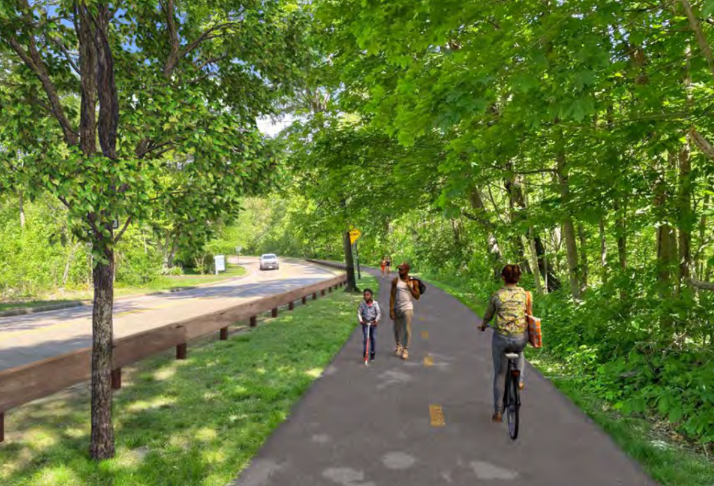
Proposal 1 would widen the eastern sidewalk to a 12-foot path and add a 6-foot landscaped buffer between the cars while keeping the existing four lanes of traffic.
The second proposal for Truman Parkway calls for the removal of two car lanes on the west side and using this freed up space to add a vegetated buffer between the cars.
Kathleen Fasser, Project Manager with Toole Design, says that this option “greatly decreases the impervious surfaces, and allows for a park-like setting for the shared-use path to meander through it. The increased landscaped areas would allow for the introduction and incorporation of green infrastructure which would greatly improve water quality in the area.”

The project proposal also calls for redesigning the intersection at Truman Parkway and Neponset Valley Parkway, the trail’s present southern terminus.
“The slip lane to turn right from Truman Parkway heading east on Neponset Valley Parkway would be eliminated. Proper turning radiuses would be incorporated and tightened as possible. Crosswalks and curb ramps meeting existing codes would be installed in each direction at the intersection before heading further south on the trail,” explained Fasser.

From here, DCR proposes to build a new trail that would continue to the south, with a new bridge (further south of Paul’s Bridge) to cross the Neponset River near the canoe launch site. The team would attempt to avoid any wetlands in this area, but if that’s not possible, a boardwalk would be added instead of an on-grade path.
The path would continue east along the Neponset Valley Parkway to Blue Hill Avenue/Route 138, where MassDOT is planning another shared-use path that would run alongside Route 138.
The shared-use path for this project would connect to the Blue Hill Avenue path to complete a connection to the Blue Hills Reservation.
“This project really is about lots of different community connections throughout this area,” Fasser emphasized. She shared that the team is also looking at possible areas to extend the shared-use path to and further increase the number of connections to nearby community amenities, such as the Readville commuter rail station.
For folks coming from Mattapan, Autler pointed to a few other projects in the works that will improve access to the river for residents of this neighborhood.
A new riverside trail is being designed in the Edgewater neighborhood of Mattapan. DCR is also working on the design for a new pedestrian and bicycle bridge over the Neponset at Osceola Street, which, according to Autler, “could take you across the river onto Brush Hill Road, where you could then join (the existing trail on) Truman Parkway.”
State Senator Walter Timilty, who attended Monday’s virtual meeting, suggested that DCR should follow up with an in-person walking tour of the proposed project.
“I think people would do a lot better if they could see this up close and personal in real time,” said Sen. Timilty. “And I think it would be very helpful for people in formulating their opinions.”
Autler agreed that it’s one thing to look at a project on a map and another to walk through it, hear the explanations and be able to ask questions.
“We’ll definitely make that happen,” he said.
_________________________________________________________________________________
- Submit an online comment about the project through November 29th: https://www.mass.gov/forms/dcr-public-comments
- Contact DCR’s Office of Community Relations to sign up for the project listserv: mass.parks@mass.gov
- Access the public meeting recording and slides.

Streetsblog has migrated to a new comment system. New commenters can register directly in the comments section of any article. Returning commenters: your previous comments and display name have been preserved, but you'll need to reclaim your account by clicking "Forgot your password?" on the sign-in form, entering your email, and following the verification link to set a new password — this is required because passwords could not be carried over during the migration. For questions, contact tips@streetsblog.org.