MassDOT Begins Marketing Former Freeway Land In Fall River For Transit-Oriented Housing Development
Last week, MassDOT announced that it would begin marketing over 25 acres of empty riverfront real estate that it owns in Fall River after successfully completing a project to demolish an obsolete waterfront highway that had formerly occupied the land.
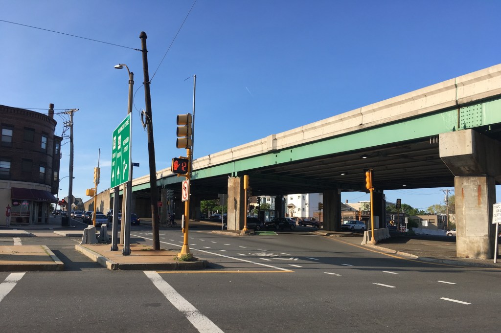
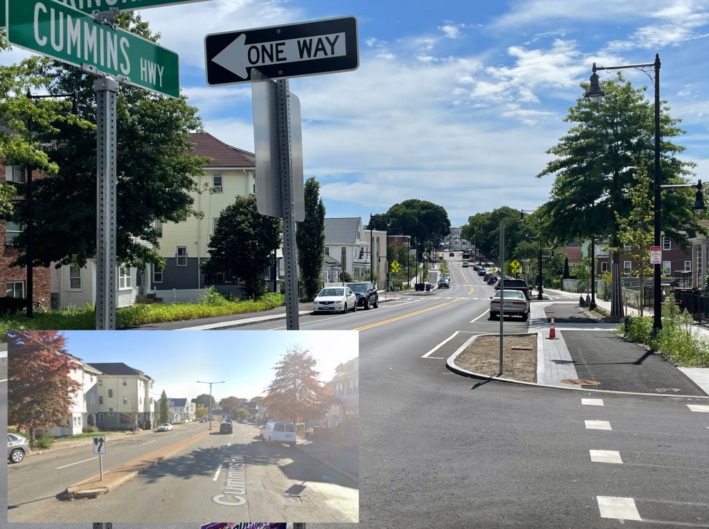
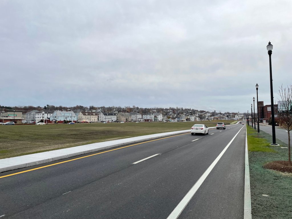
As we reported in November, MassDOT workers have spent three years demolishing an 20th-century expressway that had formerly blighted Fall River’s waterfront, and building a grid of new surface streets in its place.
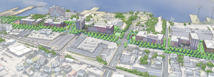
The project is part of the city’s effort to cultivate new development near its new regional rail station. The City of Fall River’s Redevelopment Authority has advanced a conceptual plan for the former freeway land that envisions over a thousand new homes, plus new street-level storefronts for new businesses.
Last week, MassDOT declared that the new roadways, sidewalks, and bike paths that replaced the former expressway were officially available for “full beneficial use,” and released a “request for information” to begin marketing the empty land to potential developers.
“MassDOT’s Fall River Route 79 Davol Street Corridor Project is a perfect example of how transportation can be safe and reliable while also supporting and enhancing the local community’s character, needs, and wishes,” said Interim MassDOT Secretary and General Manager Phil Eng in a MassDOT press release. “Not only can people safely traverse the corridor, but we have freed up land that can now be redeveloped, supporting and facilitating economic vitality.”
The Fall River Redevelopment Authority’s plan for the area envisioned that about 19 acres of land between Turner Street and Brightman Avenue would be available for redevelopment.
However, MassDOT’s “request for information” (RFI) describes about 25.1 acres, spread across 8 parcels, that could potentially be available for development.
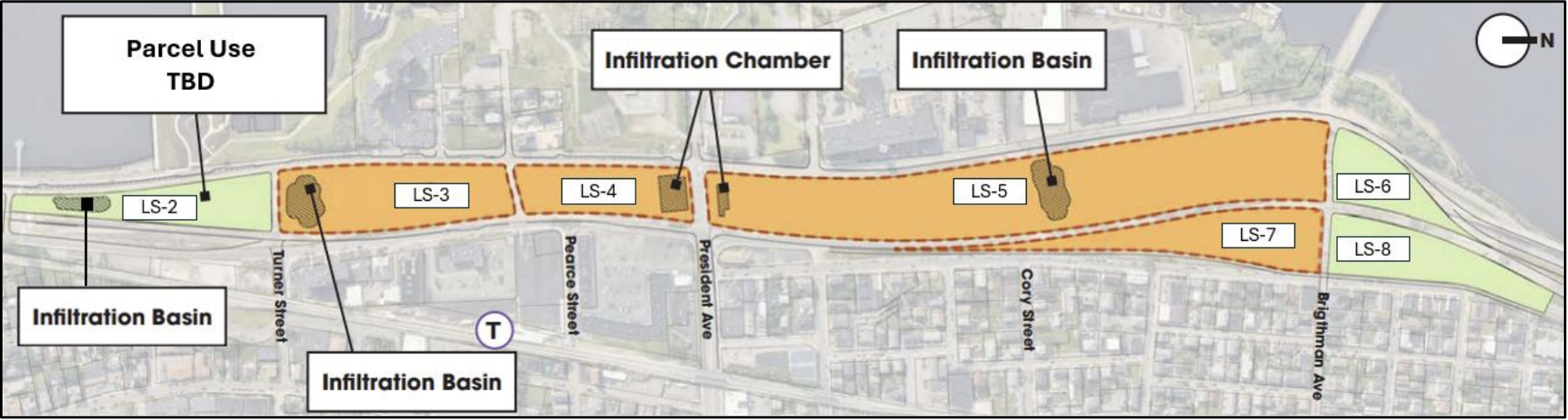
Unlike the Fall River Redevelopment Authority’s plan, the MassDOT RFI includes narrower wedge-shaped parcels north of Brightman Avenue and south of Turner Street.
The RFI notes that several of those parcels have encumbrances, like drainage easements, that will likely limit their potential for redevelopment.
An online registration form asks applicants to outline their approach to development, their experience, their estimates for a development schedule, and their assessments of the redevelopment plan’s feasibility in the context of “market demand drivers” and “construction feasibility considerations.”
Responses from interested developers are due by February 27, and MassDOT will host an informational session for potential respondents on February 4 at the Maritime Museum at Battleship Cove in Fall River.
MassDOT intends to issue a formal “request for proposals” for the actual sale or lease of the properties later this spring, after the agency reviews its responses to the current RFI.

Streetsblog has migrated to a new comment system. New commenters can register directly in the comments section of any article. Returning commenters: your previous comments and display name have been preserved, but you'll need to reclaim your account by clicking "Forgot your password?" on the sign-in form, entering your email, and following the verification link to set a new password — this is required because passwords could not be carried over during the migration. For questions, contact tips@streetsblog.org.