Planners from the City of Boston are hosting a series of walks this autumn to kick off planning for new “high-comfort” bike routes and crosswalk upgrades to encourage more people to walk and bike across downtown Boston.
The city's "Connect Downtown" project is studying numerous city streets around Boston Common and the Public Garden, from Columbus Avenue in the south to Charles Circle in the north. Besides connecting the Southwest Corridor path, which feeds bike commuters onto Columbus Avenue in the South End, the breadth of the project area leaves room for the possibility of improving bike and pedestrian connections to the Commonwealth Avenue Mall, to the Fiedler Footbridge and the Charles River Esplanade, and to Kendall Square via the Longfellow Bridge:
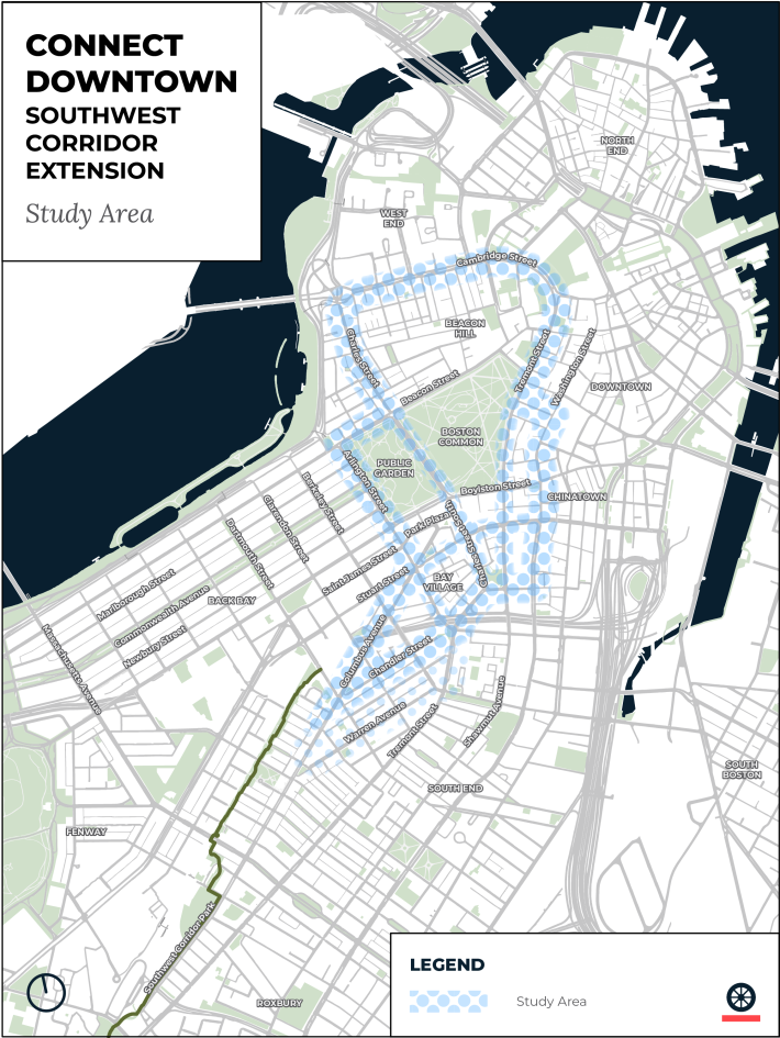
The loop of wide one-way streets that surround the Boston Common and Public Garden lie at the center of the project's study area. With three to four lanes for motor vehicles and practically no dedicated space for people on bikes, those streets function as a major barrier and threat to the thousands of people who cross through those parklands on foot every day.
With a master planning process also underway for the Boston Common, one of the city's goals for this project is to improve everyone's access to these signature parklands.
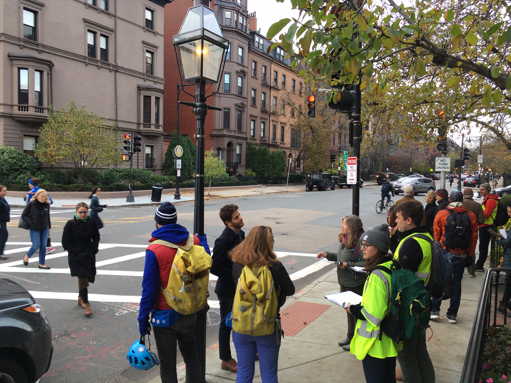
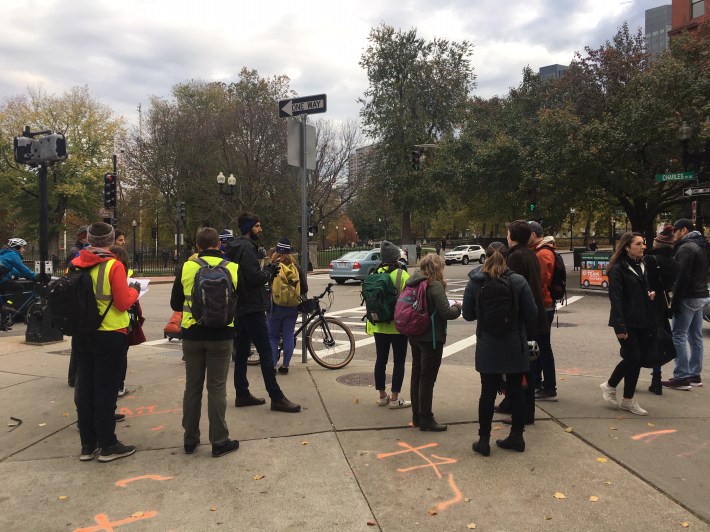
On the most recent outreach walk on November 7, city transportation planners and project consultants from Toole Design Group led a group of about a dozen people around the Public Garden to discuss how the area's streets could better connect to surrounding bike and walking routes.
One consistent observation was of how the current design of these streets and intersections allocate the disproportionate amount of the public space to cars, and how people on foot wait for long periods for walk signals at intersections.
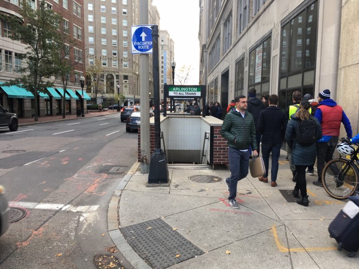
On Arlington Street, the group squeezed through narrow sidewalks next to the street's eponymous Green Line station, which gets over 8,500 boardings every weekday. It was the morning rush hour, and the narrow space of the sidewalk was carrying at least as many people as the adjacent four lanes of asphalt:
Participants who commute by bicycle also spent a considerable amount of time discussing routes through Park Plaza, where one-way streets complicate connections to the Columbus Avenue bike route.
While riders heading downtown from the Southwest Corridor path can take a relatively straightforward and legal route from Columbus to Stuart and Washington Streets, those one-way streets aren't available for outbound riders.
For many bicycle users, cutting though the Common and riding on a short section of sidewalk towards Columbus Avenue offers the least bad alternative among several unsatisfactory routes out of downtown Boston; adding protected contraflow bike lanes or two-way cycletracks around the edges of the Common were among the ideas raised to make the route safer and easier to follow.
The project is one of several major GoBoston 2030 initiatives that city planners are undertaking with assistance from Toole Design Group, the winning bidders of a large consulting contract issued earlier this fall.
A third outreach walk, scheduled for this Wednesday morning, November 13, will focus on Columbus Avenue in the South End, and the final walk, scheduled for December 3, will focus on Stuart, Arlington, Charles, and Tremont Streets in and around Bay Village.
