City of Boston planners have scheduled two separate public meetings next Thursday, March 5 to present their progress on two major street safety projects: a transit-focused redesign of Blue Hill Avenue in the southern part of the city, and the "Connect Downtown/Southwest Corridor Extension" project, which is aiming to improve bike and pedestrian access into and through the neighborhoods surrounding the Boston Common.
Boston Transportation Department officials have been doing a tremendous amount of outreach for both of these projects, which could bring transformative changes to Dorchester, Mattapan, and downtown Boston.
Blue Hill Avenue
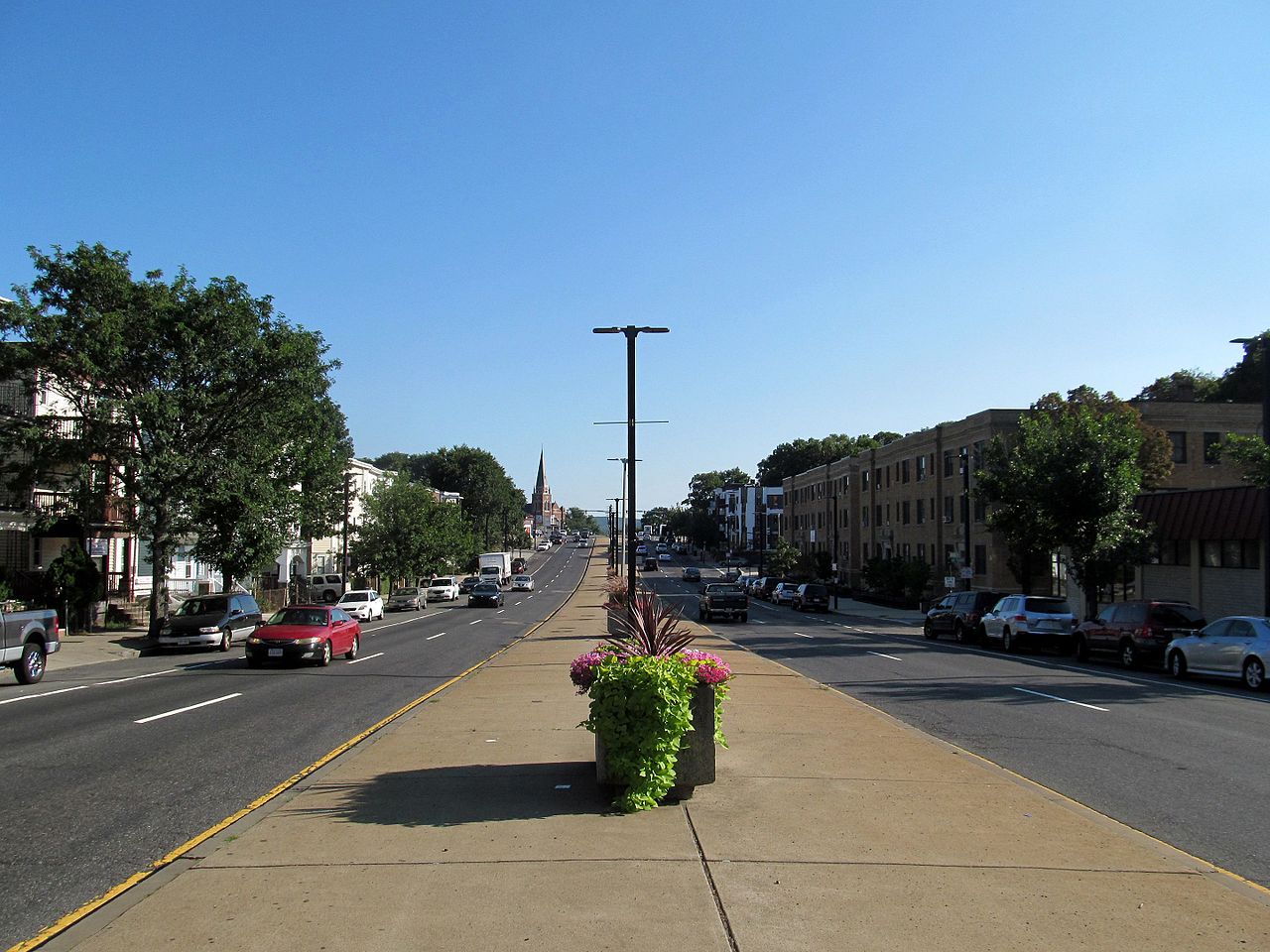
Blue Hill Avenue carries the MBTA’s Route 28 bus, which ranks as the state’s busiest bus route with over 12,000 riders on a typical weekday. When it runs according to schedule, that bus takes about 30 minutes to traverse the 4.1 miles between Mattapan Square and Dudley Square – an average speed of about 8 miles per hour.
Because the majority of residents in surrounding neighborhoods are people of color, a transit-focused redesign of Blue Hill Avenue could be one of the city's best opportunities to address the inequities of the region’s transit network, which forces riders of color to lose significantly more time getting around the region than their white counterparts.
Most of Blue Hill Avenue is also part of the city's "high crash" street network, so city planners are also framing the project as be an opportunity to calm traffic and improve bike and pedestrian safety.
Meeting information:
Blue Hill Avenue Transportation Action Plan public meeting
Where: Perkins Community Center Cafeteria, 155 Talbot Ave., Dorchester (by transit: take the Fairmount Line to Talbot Ave., or the MBTA bus 22 from the Ashmont Red Line station or the Roxbury Crossing Orange Line station)
When: March 5, 2020, 6 - 8 p.m.
Connect Downtown/Southwest Corridor Extension
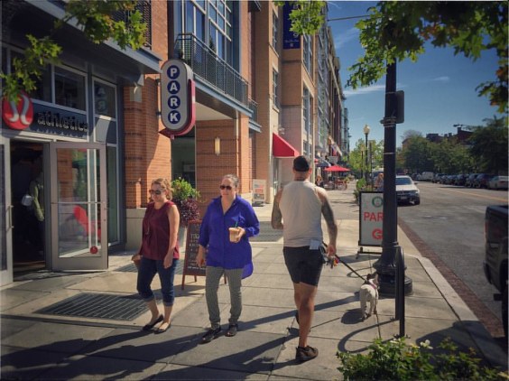
The city’s “Connect Downtown” project is studying a broad network of city streets around Boston Common and the Public Garden, from Columbus Avenue in the south to Charles Circle in the north (see the map at the top of this article).
Besides extending the Southwest Corridor path, the breadth of the project area leaves room for the possibility of improving bike and pedestrian connections to the Commonwealth Avenue Mall, to the Fiedler Footbridge and the Charles River Esplanade, and to Kendall Square via the Longfellow Bridge:
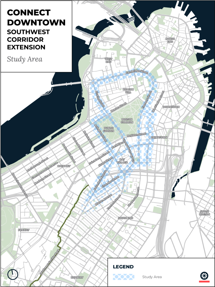
StreetsblogMASS previously wrote about the Connect Downtown project in November, when planners from the city and project consultants from the Toole Design Group hosted a series of public walks to gather ideas for different parts of the project's broad study area.
In March, the city's project team will host three open house events, which the city describes as an opportunity "to learn more about the project and share your thoughts on the proposals."
The city has also been hosting near-weekly "office hours" at neighborhood libraries where interested members of the public can drop in and learn about the project in a more informal setting.
Meeting information:
Connect Downtown Open House #1
Where: Boston Public Library Orientation Room, 230 Dartmouth Street (take the Green Line to the Copley station)
When: March 5, 2020, 6-8 p.m.
Connect Downtown Open House #2
Where: Hill House, 127 Mt. Vernon Street, Beacon Hill (3 blocks south from the Charles/MGH Red Line station)
When: March 11, 2020, 6-8 p.m.
Connect Downtown Open House #3
Where: Boston Public Library Orientation Room, 230 Dartmouth Street (take the Green Line to the Copley station)
When: March 14, 2020, 1-3 p.m.
