City of Springfield Proposes Road Diet, Traffic Calming for Deadly Downtown Block
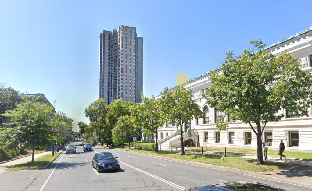
City of Springfield officials are proposing a one-block road diet and a new raised crosswalk for the block of State Street in front of the Springfield Central Library, an informal pedestrian crossing where drivers have struck and killed two victims in the past decade.
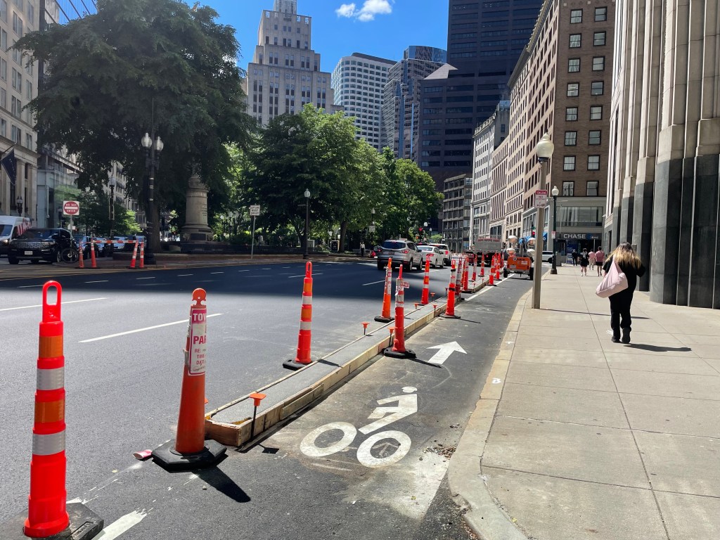
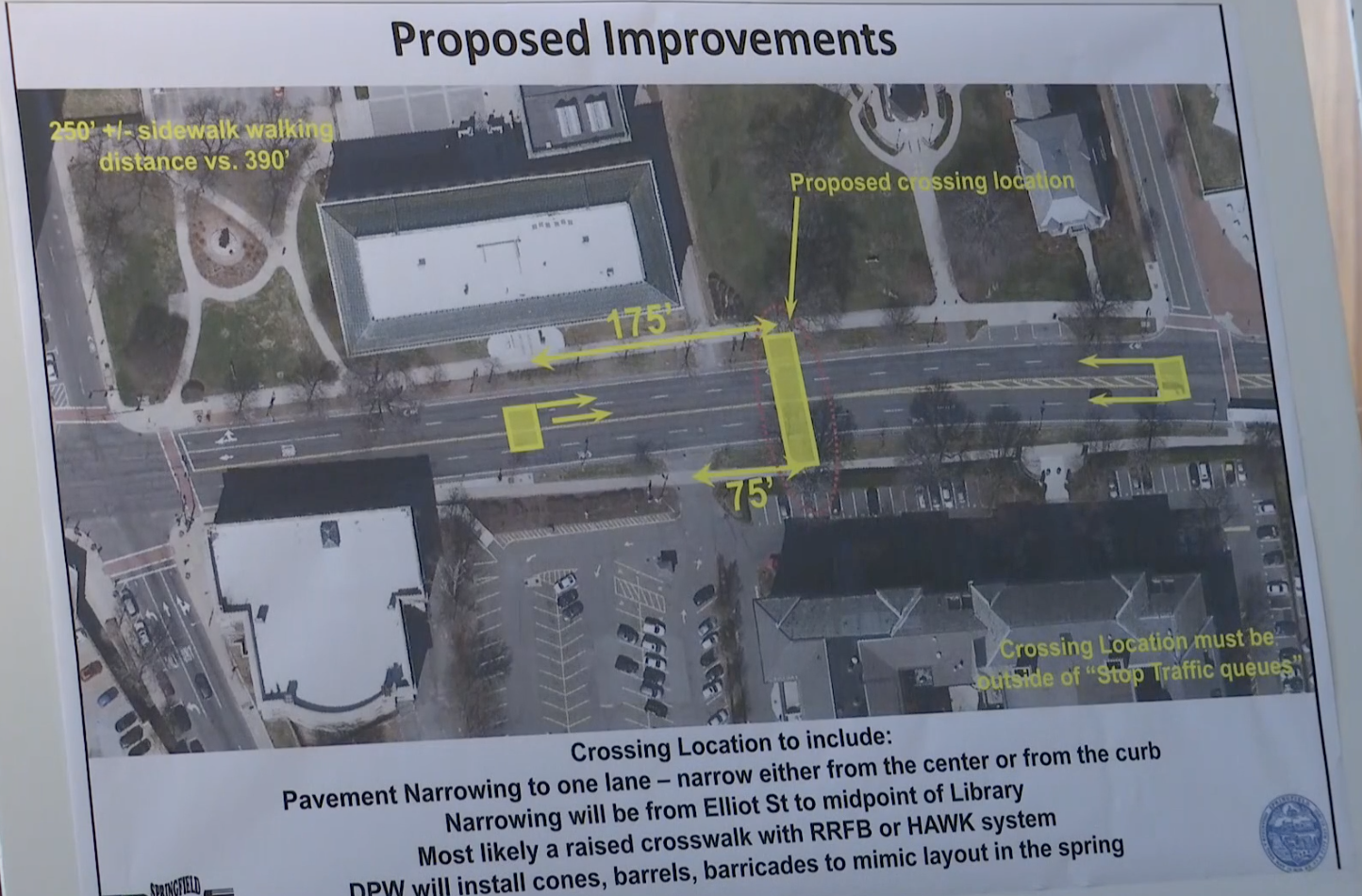
The city’s conceptual plans call for installing a new raised crosswalk on State Street in front of the library, and a mid-block median island that would narrow the street from four lanes to two for a short distance in the middle of the block between Chestnut and Eliot Streets.
On either end of the block, State Street would remain in its current four-lane configuration:
While the plans could make this specific location safer, there are no changes being proposed for other segments of State Street, where drivers killed two other pedestrians in 2021 alone.
“The plan falls far too short. Basically they’re doing a road diet and putting in an island and crossing lights on half a block,” said Betsy Johnson, a volunteer for WalkBike Springfield, in a phone conversation with StreetsblogMASS on Wednesday afternoon.
“The minute they get past the library, (drivers) will get to speed up again,” she predicted.
The city began planning for traffic-calming measures at this particular location in the summer of 2021. But the project gained more urgency last fall, when drivers killed three victims on State Street in three separate incidents.
In early September, two cars struck and killed an unidentified victim who was crossing State Street near the Springfield Armory, a few blocks up the hill from the library.
In November, another driver struck and killed 40-year-old Michael Diaz Vargas on State Street a few blocks further east, near Mason Square.
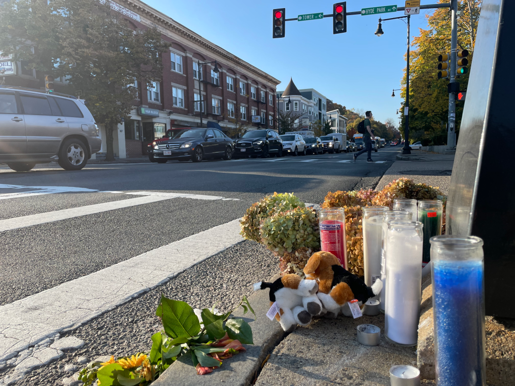
And a week later, yet another driver struck and killed Springfield Central Library staffer Gayle Ball in State Street in front of the library, where the city is now proposing its traffic calming improvements.
State Street traverses several residential neighborhoods northeast of downtown Springfield that are home to high proportions of Black and Hispanic residents, according to Census data.
A Streetsblog analysis of crash and demographic data found that crashes that kill bicycle users and pedestrians in Massachusetts are more likely to happen in neighborhoods where 10 percent or more of the population identifies as Black than in neighborhoods where residents are predominantly white:
The City of Springfield’s streets are unusually dangerous relative to other cities in the Commonwealth. Though Springfield only has about 2.2 percent of the Commonwealth’s population, the 2,883 injury- or death-causing crashes that happened in the city during 2020 and 2021 represent about 5.9 percent of the Commonwealth’s total number of serious crashes.
Springfield drivers have killed at least 39 people in the city since the beginning of 2020.

Read More:
Streetsblog has migrated to a new comment system. New commenters can register directly in the comments section of any article. Returning commenters: your previous comments and display name have been preserved, but you'll need to reclaim your account by clicking "Forgot your password?" on the sign-in form, entering your email, and following the verification link to set a new password — this is required because passwords could not be carried over during the migration. For questions, contact tips@streetsblog.org.