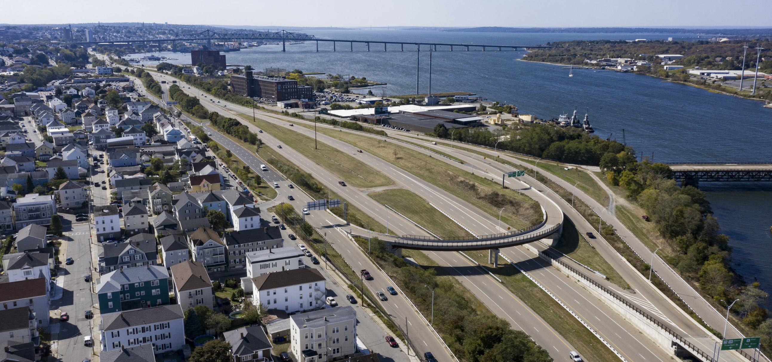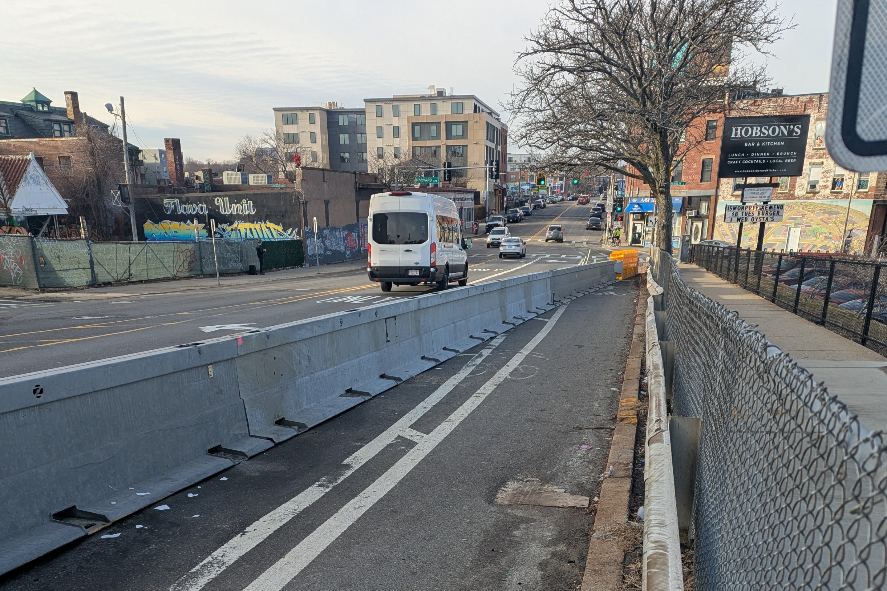
On Wednesday morning, MassDOT held a ceremonial groundbreaking for a project that will tear down a 20th-century expressway along the Taunton River in an attempt to reconnect waterfront neighborhoods in the city of Fall River.
MassDOT's aptly named "Route 79 Improvements Project" will improve Route 79 – a four-lane elevated expressway – by demolishing it and rerouting traffic onto existing surface streets. Those surface streets will also get upgraded sidewalks, shared-use pathways, and crosswalks.
The project will also build new cross-streets to re-connect portions of the historic street grid and improve access between the city's North End neighborhood and the riverfront, which is currently a no-man's-land of empty lots and underutilized parks cut off from the rest of the city.
Fall River economic development officials and local investors are hopeful that the project will create new housing in walkable neighborhoods on the newly-available land that the expressway currently occupies.

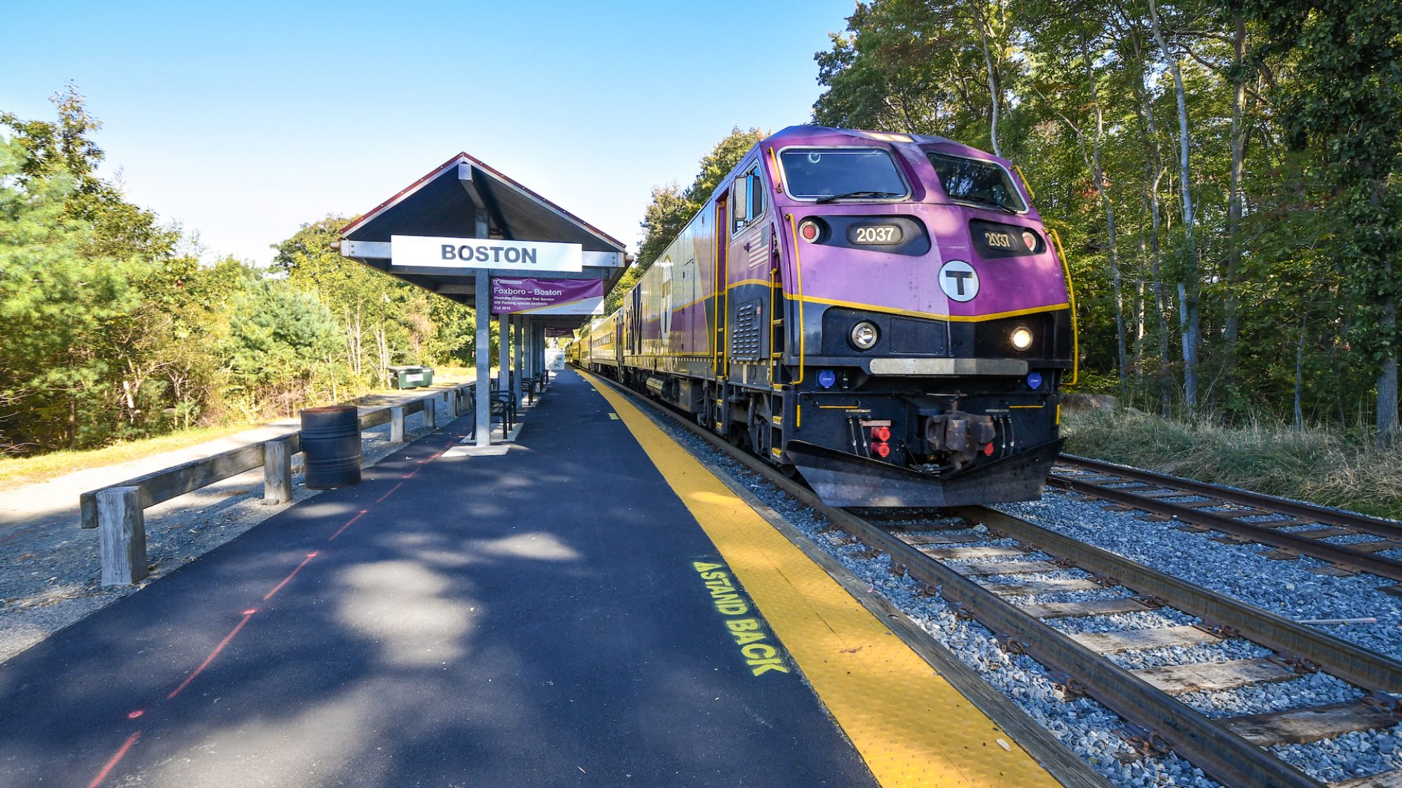
The project will free up almost 17 acres of riverfront land between the city's new Sen. Norton City Pier park and Brightman Street – and most of that land will be within walking distance of the city's new South Coast Rail station, which is under construction just one block to the east of Route 79.
Like many other former mill cities across Massachusetts, Fall River, a city of approximately 94 thousand people, is still struggling to recover from the loss of 19th-century industries. One in four of its residents lives in poverty, according to the U.S. Census.
The city also suffered to an unusual degree from destruction caused by 20th-century highway projects. In addition to Route 79, downtown Fall River suffers from the blight of Interstate 195, which slices through the city in a noisy, polluted trench that cuts off foot traffic between the city's North and South End neighborhoods.
MassDOT was still building huge new highway interchanges in Fall River as recently as 2011, when the state opened the new Veterans Memorial Bridge across the Taunton River to the town of Somerset.
Even though discussions were already underway about demolishing the Route 79 expressway, MassDOT still designed that new bridge to include a pair of massive multi-acre highway interchanges on each riverbank to accommodate high-speed traffic between Somerset and Route 79.
Nevertheless, Fall River's economic development office thinks that the demolition of the riverfront highway and the imminent opening of South Coast Rail should finally make the city attractive to economic development, especially new transit-oriented housing.
The under-construction South Coast Rail project, expected to open to passengers by the end of 2023, will give Fall River residents a 90-minute ride to South Station in downtown Boston.
"This land, if properly defined by a street and block network, can be developed into a mixed-use neighborhood including residential, retail, and other commercial uses. This new development can create a walkable core that knits together the waterfront and the existing neighborhood," according to a 2018 City of Fall River planning document.
MassDOT's Route 79 demolition and associated improvements on nearby surface streets are expected to be complete by 2025.
Learn more about the project:


