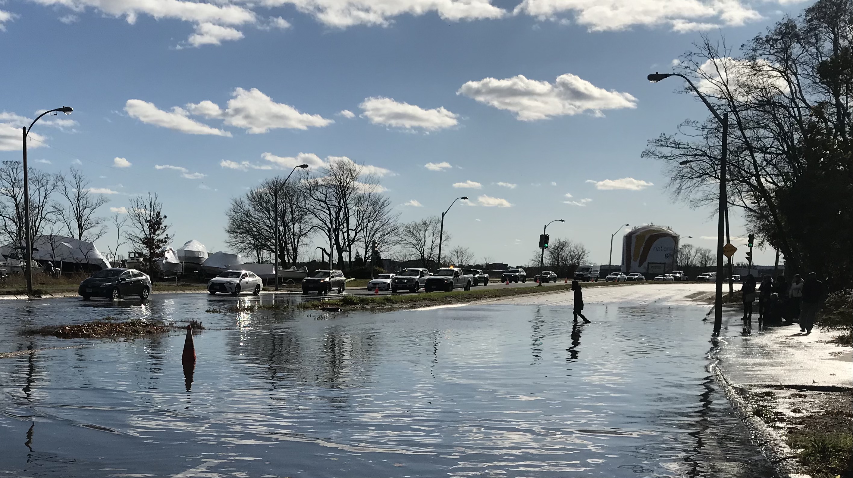
In March 2021, we reported that "a crowded field of local and state agencies will collaborate on yet another plan for redesigning Morrissey Boulevard, the crumbling and frequently flooded highway that divides Dorchester neighborhoods from the Boston Harbor waterfront."
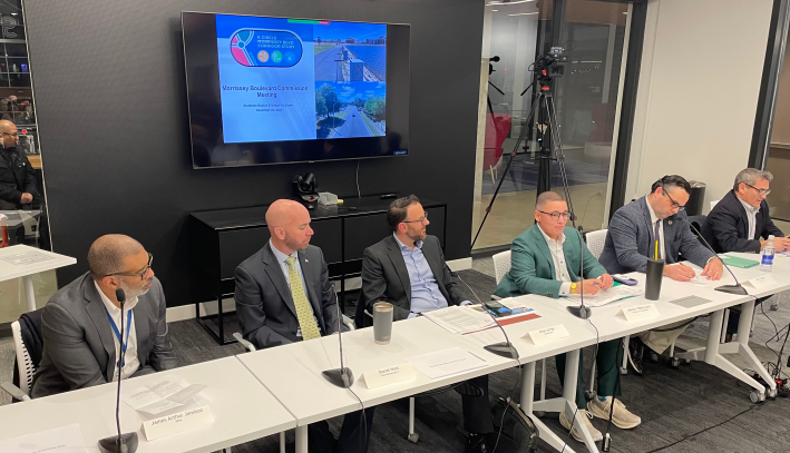
Earlier this week, after two and a half years of procrastination, that study finally held its kickoff public hearing, under the auspices of a new inter-agency commission.
The Morrissey Boulevard Commission, which met for the first time Tuesday evening, includes state legislators, highway agencies (MassDOT and the Department of Conservation and Recreation), and City of Boston officials, and is expected to endorse a new conceptual design for Morrissey Boulevard before June 2024.
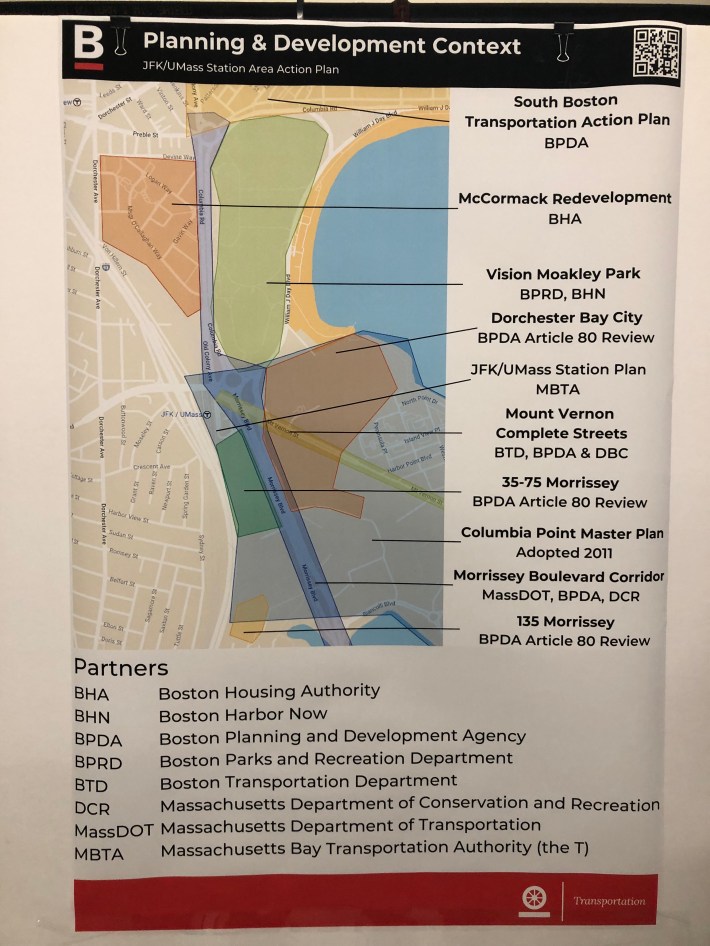
There's broad consensus that Morrissey Boulevard is an obsolete, dangerous liability for the fast-growing and vulnerable waterfront neighborhoods that it divides.
But multiple state and municipal agencies control different parts of the roadway, and to date, they still haven't agreed on how the Boulevard should be redesigned for a hotter climate and higher seas.
Even the new Morrissey Boulevard Commission reflects that indecision. A law passed in 2022 required the various agency stakeholders to nominate commission members, hold meetings, and "file a report of its findings and recommendations... not later than June 1, 2023."
That deadline came and went with no follow-through from the various state agencies involved. In a rider to this year's budget law, lawmakers subsequently moved the Commission's goalpost to June 1, 2024.
Officials broadly agree about the Boulevard's problems
Now that the cat-herding has been accomplished, though, the various officials at the Commission's first public hearing appeared to agree in general terms that the existing highway is a barrier to economic development, a major safety hazard, and a weak spot in Boston's coastal resiliency plans.
"Even when the road isn't flooded, it is not an ideal condition for anyone, whether you're walking, biking, or in a car," said Boston Mayor Michelle Wu. "This needs to be safe for everyone."
State Senator Nick Collins, who is both a member of the new Morrissey Boulevard Commission and one of the sponsors of legislation that created the new commission, observed that the existing roadway, which is 10 lanes wide in some sections, impedes mobility between Dorchester and its waterfront, where there are several planned new high-rise developments on Columbia Point and around the JFK/UMass Red Line station.
"I hope we're going to look at options to get across (Morrissey Boulevard) because there's not a lot of ways to do that now," said Sen. Collins.
Redesign will test how seriously MassDOT, DCR take state climate goals
Morrissey Boulevard already floods during many high tides, and is emblematic of the challenges that coastal infrastructure will face as the climate emergency intensifies.
During Tuesday's meeting, MassDOT officials suggested that the roadway might need to rise 12 to 15 feet higher in order to stay above anticipated sea levels in the year 2070.
But those future sea levels are a moving target, and they've been moving ever higher. A mothballed 2017 redesign of Morrissey Boulevard would have elevated the lowest segments of the roadway by less than 10 feet.
Morrissey Boulevard isn't just a victim of climate change: it's also a notorious example of the dangerous, inefficient 20th-century engineering designs and transportation policies that have made highways the Commonwealth's worst source of climate-heating pollutants.
The state legislation that established the Morrissey Boulevard Commission directed its members to "prioritize infrastructure designs that contribute to meeting statewide greenhouse gas emissions limits and the city’s carbon-neutral goals, including, but not limited to, maximizing opportunities for sustainable transportation."
The City of Boston's climate goals call on the city to cut car traffic roughly by half within the next 7 years, and Governor Healey's new climate chief has tasked highway agencies like MassDOT and the Department of Conservation and Recreation with "reducing vehicle-miles traveled through methods such as transit-oriented development and street design."
If policymakers actually meet these goals, it could mean that the redesigned Morrissey Boulevard will be not only higher, but considerably narrower and quieter as well.
The Morrissey Boulevard Commission expects to host another meeting later this winter to discuss potential design alternatives. At a final meeting in late spring 2024, before the June 1 deadline that's established in state law, it expects to endorse a conceptual design and deliver its final report to the Legislature.
