Baker Budget Portends Changes For Boston’s Waterfront ‘Parkways’
Under the Governor’s proposed budget that was released Wednesday, the Commonwealth would transfer ownership of four Department of Parks and Recreation roads – Storrow Drive, Soldiers Field Road, Day Boulevard and Morrissey Boulevard – to MassDOT.
The four roadways occupy land that had originally been set aside as parks, but were transformed in the mid-20th century with the addition of highway interchanges, traffic circles, overpasses, and crash barriers.
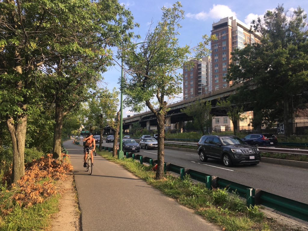
Today, the roads are chronically congested and have numerous safety and deferred maintenance problems. They also create major barriers to walking and biking along Boston’s waterfront, and the Department of Conservation and Recreation (DCR) has been strongly criticized for failing to provide basic safety measures or reduce traffic along its parkways.
That could change this year. Section 96 of the Governor’s proposed budget “transfers care and custody of certain major parkways, specifically Morrissey Boulevard, Storrow Drive, Soldiers Field Road, and Day Boulevard from the Department of Conservation and Recreation to the Massachusetts Department of Transportation,” and section 107 stipulates that the transfer “will take effect on August 1, 2020.”
For those reasons, some sustainable transportation advocates are hopeful about getting these roadways out of DCR’s hands.
“These roads are some of the most dangerous in the city,” said Becca Wolfson, executive director of the Boston Cyclists Union, on Wednesday evening. “DCR doesn’t have the people or the resources to manage these roads properly, they have zero policies to hold them accountable to safe road design. MassDOT has design standards that consider the safety of vulnerable road users. They have separated bike lane guidance.”
Wolfson and the Boston Cyclists Union helped organize a people-protected bike lane event earlier this year on Park Drive in Boston’s Fenway neighborhood after the DCR failed to consider protected bike lanes in a repaving project there last summer. She said that she’d like to see more dangerous DCR roadways shift to MassDOT’s control, including the Arborway in Jamaica Plain and Charles Circle at the foot of the Longfellow Bridge in Boston’s West End.
Galen Mook, the executive director of MassBike, was more circumspect about the proposal.
“These are parklands, and giving them to MassDOT prevents them from being parks again in the future,” said Mook in a phone interview on Wednesday evening. “I see the upside in it, in that MassDOT has more funding to make them better. But they should be parks.”
Several official planning initiatives and advocates’ proposals have suggested that these and many other DCR roadways should have a much smaller footprint, in recognition of the city’s greenhouse gas reduction goals and the region’s demands for more parkland.
A recent planning study for Moakley Park suggested that a section of Day Boulevard along Carson Beach should be abandoned altogether and converted to a flood control barrier and pedestrian promenade. Both Day and Morrissey Boulevards, which run along the South Boston waterfront, are particularly vulnerable to flooding from rising sea levels.
According to a Boston Landmarks Commission report, James and Helen Storrow, whose philanthropy funded the creation of the Charles River Esplanade, were “strongly opposed” to the road that was ultimately named after them.
Helen Storrow was able to block the construction of the highway through the 1920s and 1930s, but state highway bureaucrats successfully took over the public parkland after her death in 1944; construction of Storrow Drive began in 1950.

Read More:
Streetsblog has migrated to a new comment system. New commenters can register directly in the comments section of any article. Returning commenters: your previous comments and display name have been preserved, but you'll need to reclaim your account by clicking "Forgot your password?" on the sign-in form, entering your email, and following the verification link to set a new password — this is required because passwords could not be carried over during the migration. For questions, contact tips@streetsblog.org.