Boston, MassDOT Seek ‘Mega’ Cash to Build Allston/I-90 Project
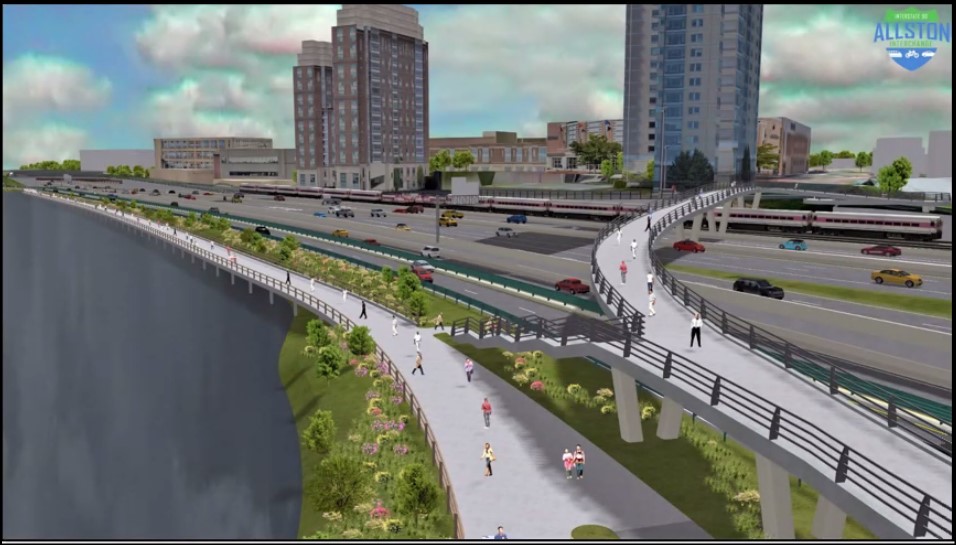
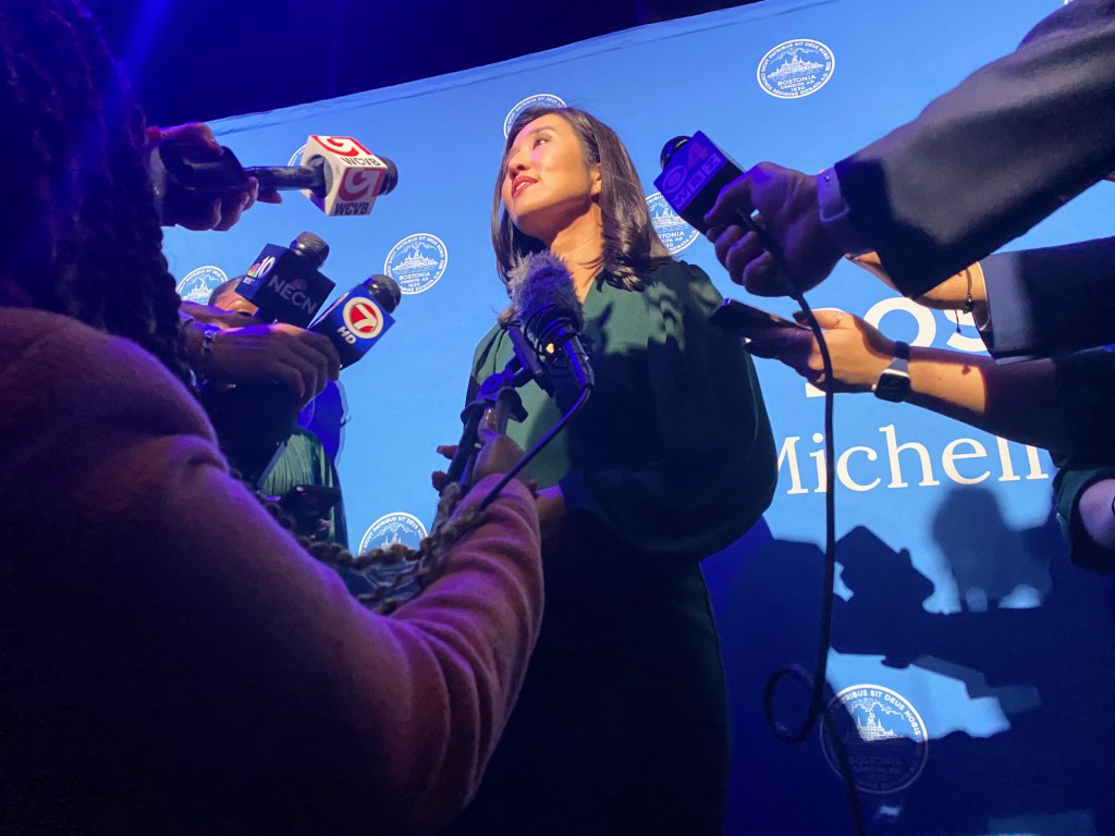
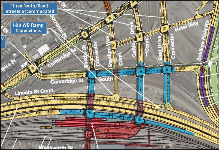
On Tuesday, Mayor Michelle Wu and MassDOT submitted a grant application to Washington in hopes of winning $1.2 billion to build the Allston Multimodal Project, a massive reconfiguration of Interstate 90, Soldiers Field Road, and the Framingham/Worcester railroad line on 90 acres of land along the Charles River waterfront in Allston.
The funding request will compete for the U.S. Department of Transportation’s new “Mega Grant” funding, a $5 billion competitive grant program that was created in the 2021 infrastructure law and is intended to help states finance unusually large and complex projects.
That funding would match $754 million in committed funds from local and state sources to finish designing and build the Allston project.
Most of the grant application outlines already-known details of the project (read our “Rough Guide to the Allston/I-90 Megaproject). But it also includes some new details and commitments worth noting.
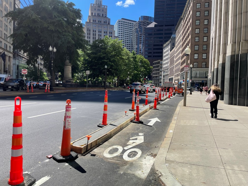
For starters, the grant application promises that the new grid of streets that would create several new city blocks between the MBTA tracks and the riverfront will be built in accordance with the city’s and the state’s “complete streets” design guidelines, with “extensive bicycle and pedestrian infrastructure.”
However, the latest conceptual sketches of the project still show that many of those streets will be unusually wide by Boston’s standards, with five or more lanes for motor vehicle traffic.
A statement from the mayor’s office also hints that the city will be looking for significant affordable housing commitments from the private development that’s expected to occur on those new city blocks, which are owned by Harvard University.
“By prioritizing access to the riverfront, public transit routes, and added space for affordable housing, we can ensure we’re making the right decisions for future generations of Boston residents and visitors,” said Mayor Wu in a press statement.
There’s also a new timeline for the project, which has made little visible progress since MassDOT’s leadership committed to a new “at-grade” design for the Turnpike last fall.
At that time, MassDOT said that it would submit a “notice of project change” (NPC) to complete the necessary state and federal environmental impact statements before the end of 2021.
But a December public hearing for that filing was cancelled, and according to this week’s grant application, the NPC won’t be submitted until June.
That means that the necessary permits to build the project likely won’t be ready until 2025. Construction could then begin in the fall of that year, and last 7 years to complete the project by fall 2032.
Bear in mind, however, that this schedule presumes that the federal government puts up the $1.2 billion for the project. If the commonwealth doesn’t win that funding and needs to cobble together other funding sources to pay for the work, that could introduce further delays for the project.
Finally, the application also affirms MassDOT’s commitment to build a new West Station, which would be a stop on the T’s Framingham-Worcester regional rail line with a dedicated busway connection to Packard’s Corner and new platforms for a proposed new passenger rail line to Kendall Square.
MassDOT had once considered building West Station as a separate project, which likely would have been delayed for years after the highway project had been built.
Read the MassDOT/City of Boston Mega Grant application here.

Read More:
Streetsblog has migrated to a new comment system. New commenters can register directly in the comments section of any article. Returning commenters: your previous comments and display name have been preserved, but you'll need to reclaim your account by clicking "Forgot your password?" on the sign-in form, entering your email, and following the verification link to set a new password — this is required because passwords could not be carried over during the migration. For questions, contact tips@streetsblog.org.