Winter can be rough for pedestrians, bicyclists, and anyone attempting to wheel around on sidewalks and bike lanes through the ice and snow.
Even heavily-used trails like the Minuteman Bikeway, which links Cambridge to Bedford, can struggle to maintain paths clear of snow and ice during the winter months:
Inbound on the #minutemanbikeway on an absolutely gorgeous morning bike commute. Bedford and W Lexington fully plowed though a very icy layer still on the path. Traction essential. Update on E Lex and Arlington to come. Ride on! pic.twitter.com/nNbScR7hCz
— Minuteman Biker (@minutemanbiker) January 24, 2023
One trail advocacy group in central Massachusetts is experimenting with an unconventional mix of funding to keep their new trail as free of snow as possible.
On a chilly morning last weekend, we took the commuter rail up from Boston to see the Twin Cities Rail Trail in action.
A relatively new trail, Twin Cities Rail Trail first opened its “phase 1” segment to the public last summer to connect the cities of Fitchburg and Leominster.
The paved trail runs along a portion of the former Fitchburg and Worcester Railroad line which ran from Fitchburg south to Leominster and terminated at Sterling Junction in Sterling where the line linked with the Worcester and Nashua Railroad.
To get more details on the snow operation, we reached out to Bennie DiNardo, an at-large member of the Twin Cities Trail Association, which formed in 2004 to “transform the abandoned rail corridor into a trail for bikers, walkers, runners, commuters, and others to enjoy safely.”
While the cities on either end own the trail’s right-of-way, regular maintenance is handled by the trail association.
This will be the trail’s first winter season since opening last June and DiNardo says the association is experimenting with snow removal in an effort to make the trail more accessible during the colder months of the year.
Here is a glimpse of what folks can expect:
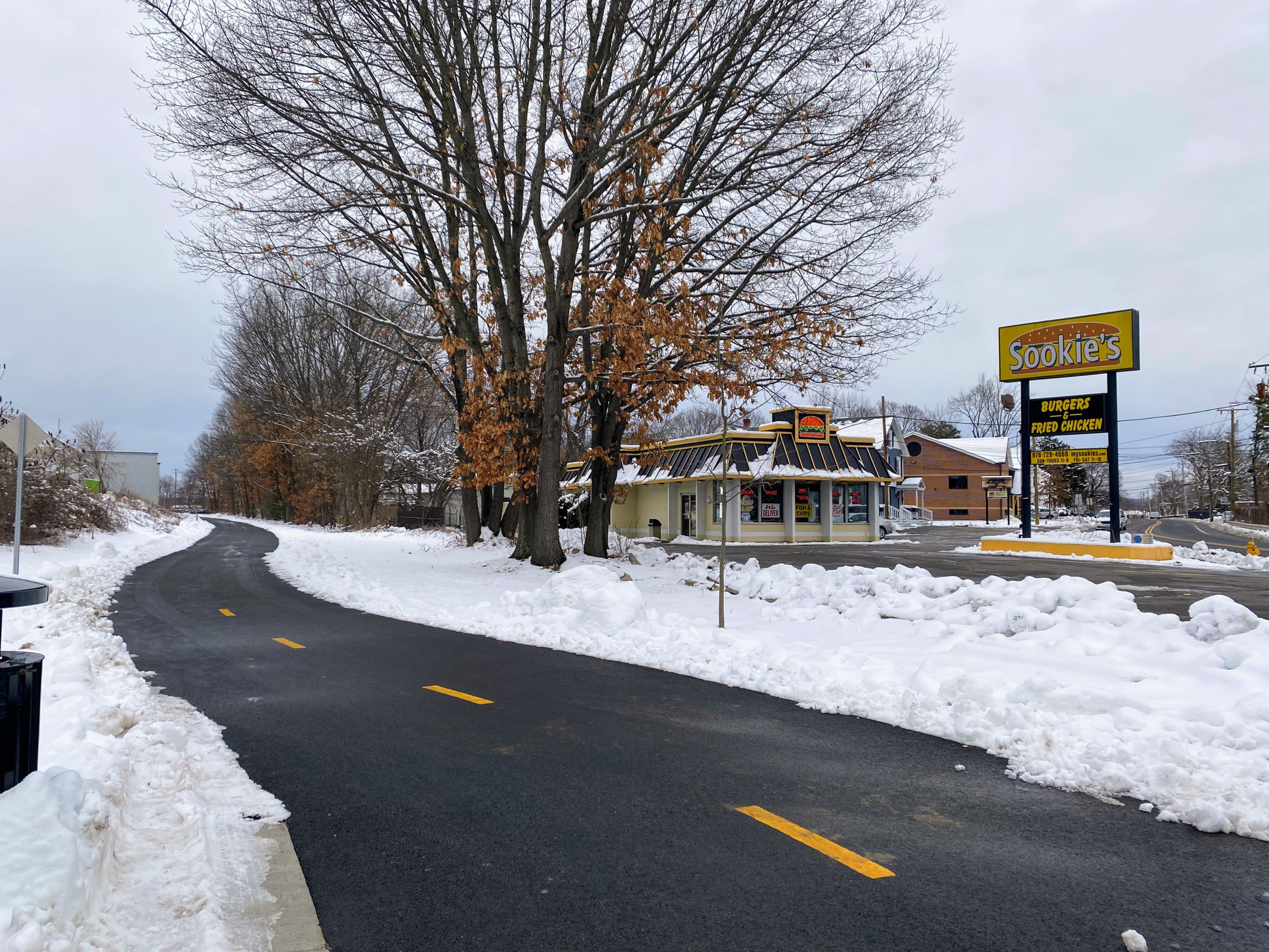
At the trailhead, we were greeted with fresh asphalt clear of snow and Sookie’s Burgers and Fried Chicken restaurant just a few feet away – super handy after you work up an appetite from riding the trail out and back! See photo above.
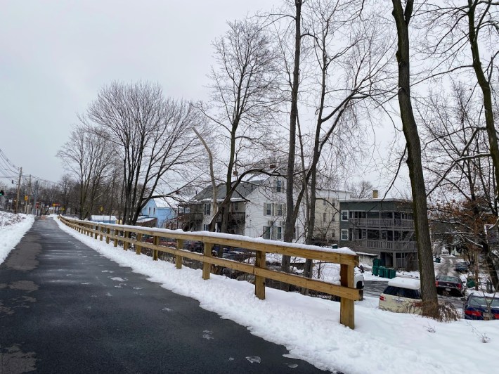
The clear path was unfortunately short-lived as we approached the first of a handful of bridges along the way between Priest Street and the large shopping complex where Barnes and Nobles and T.J. Maxx are located:
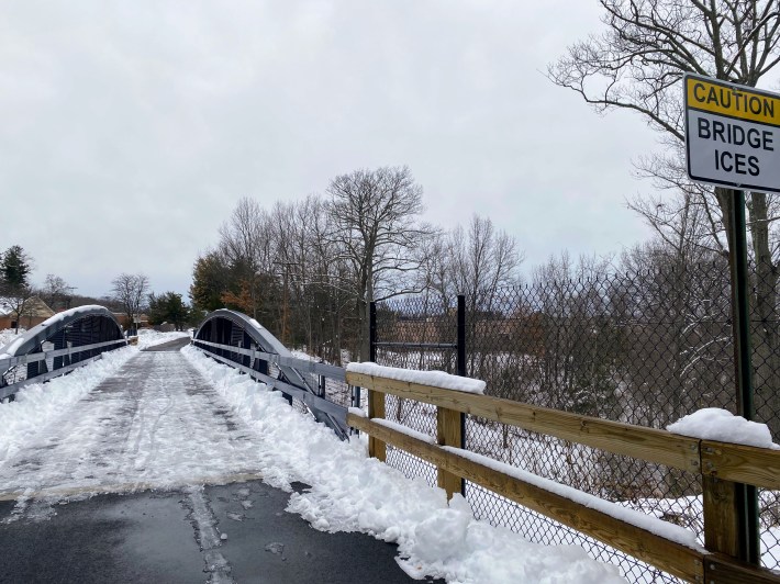
Luckily, the bridge was still passable on foot, so we dismounted our bike and carefully walked across.
“This first year is an experiment for plowing. We have one contractor that does the whole trail except for two bridges. Our contractor’s equipment couldn’t plow the bridge fully. A separate contractor does the two bridges for us,” explained DiNardo.
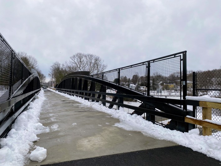
He says at first the group wasn’t sure whether they wanted to plow the trail or not so they asked folks on their mailing list and learned that “most people preferred that (the trail) be plowed because it’s not only recreational.”
“People can use the trail for transportation and commuting. People can ride their bikes to the train station,” he added.
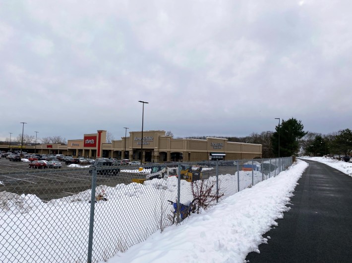
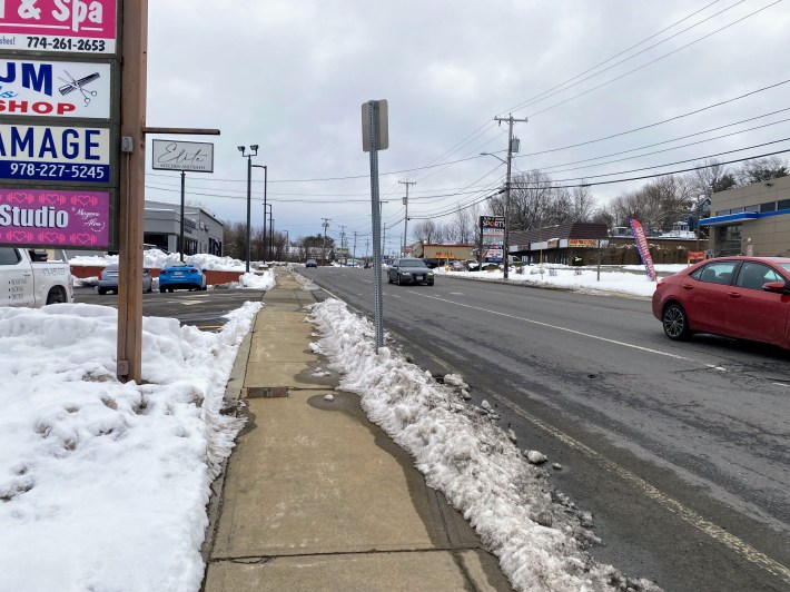
The trail’s path mostly follows Route 12/N Main Street/Water Street, a two- and at times four-lane road without any dedicated facilities for bicyclists:
DiNardo says his group has been in an ongoing fundraising campaign to build an endowment to fund maintenance efforts.
In addition to the fundraising dollars, DiNardo says another source of income comes from advertising on billboards that were granted to the group by the rail company.
Unfortunately, as of now, only the Leominster side is generating income for the group, since the rail company collected all the income on the Fitchburg side right before their agreement.
“The Fitchburg side is not generating any income for us for a little while,” he said.
At the northern terminus in Fitchburg, the paved trail ends abruptly before continuing down a few neighborhood streets and finally ending near the Fitchburg commuter rail station without a way to cross the tracks nor the Nashua River.
Plans for Phase 2, which would extend the trail over the Nashua River and the railroad tracks and connect users to the Fitchburg commuter rail station, are currently underway.
DiNardo says his group has heard of a possible public information session in March by the state department of transportation, but is awaiting a formal announcement with further details.
