Eyes On the Street: Depaving Leo Birmingham Park
A major construction project to reclaim public parkland from a former highway is well underway in Brighton, as workers tear up asphalt from the state Department of Conservation and Recreation’s Leo Birmingham Parkway.
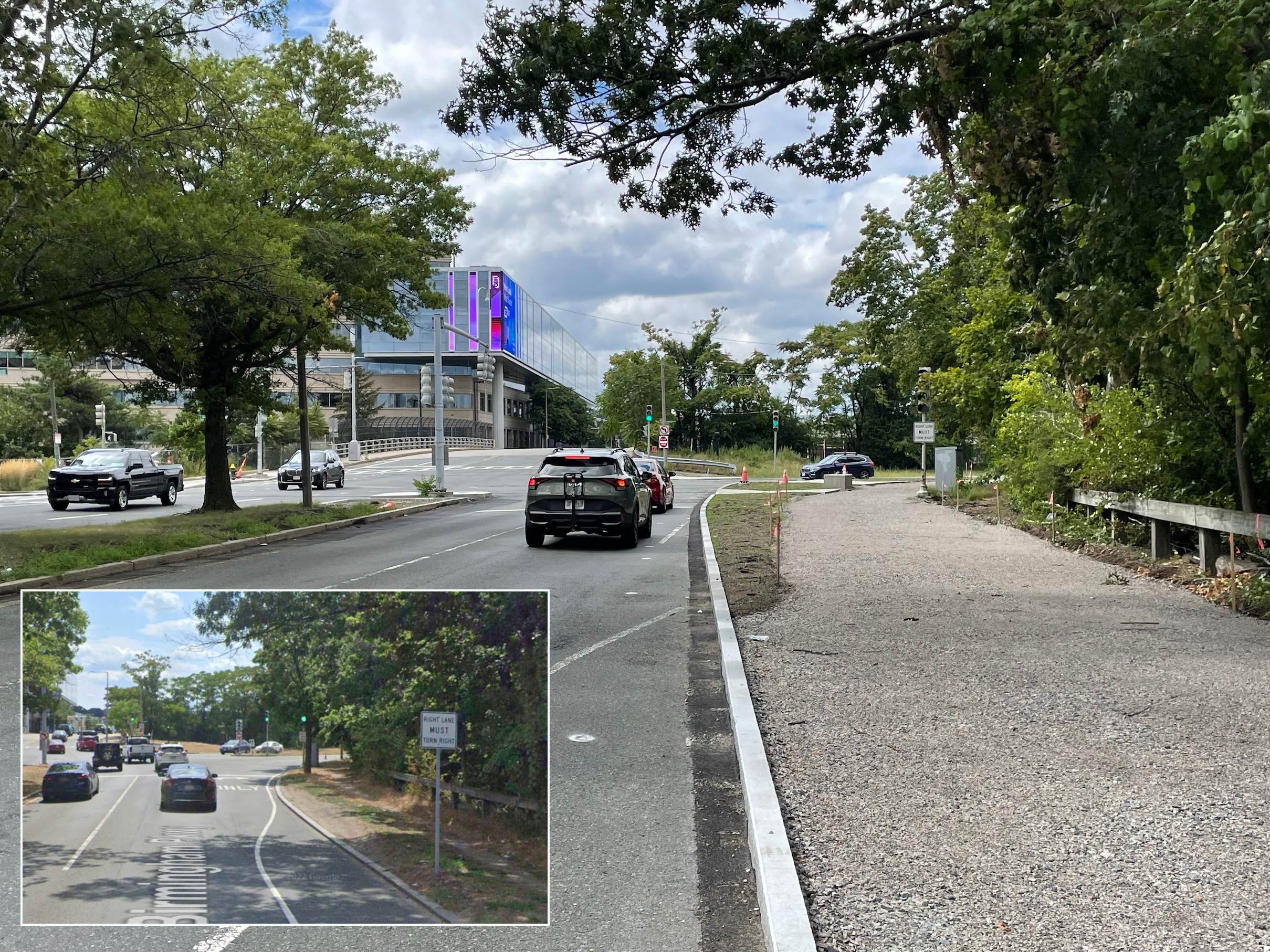
The eastern end of the project begins at Market Street, near the GBH television studios (visible in the distance in the photo above).
Workers have re-aligned that intersection to align it with the new two-lane Birmingham Parkway. The new intersection is considerably smaller, and includes new sidewalk ramps that will connect to the future off-street path.
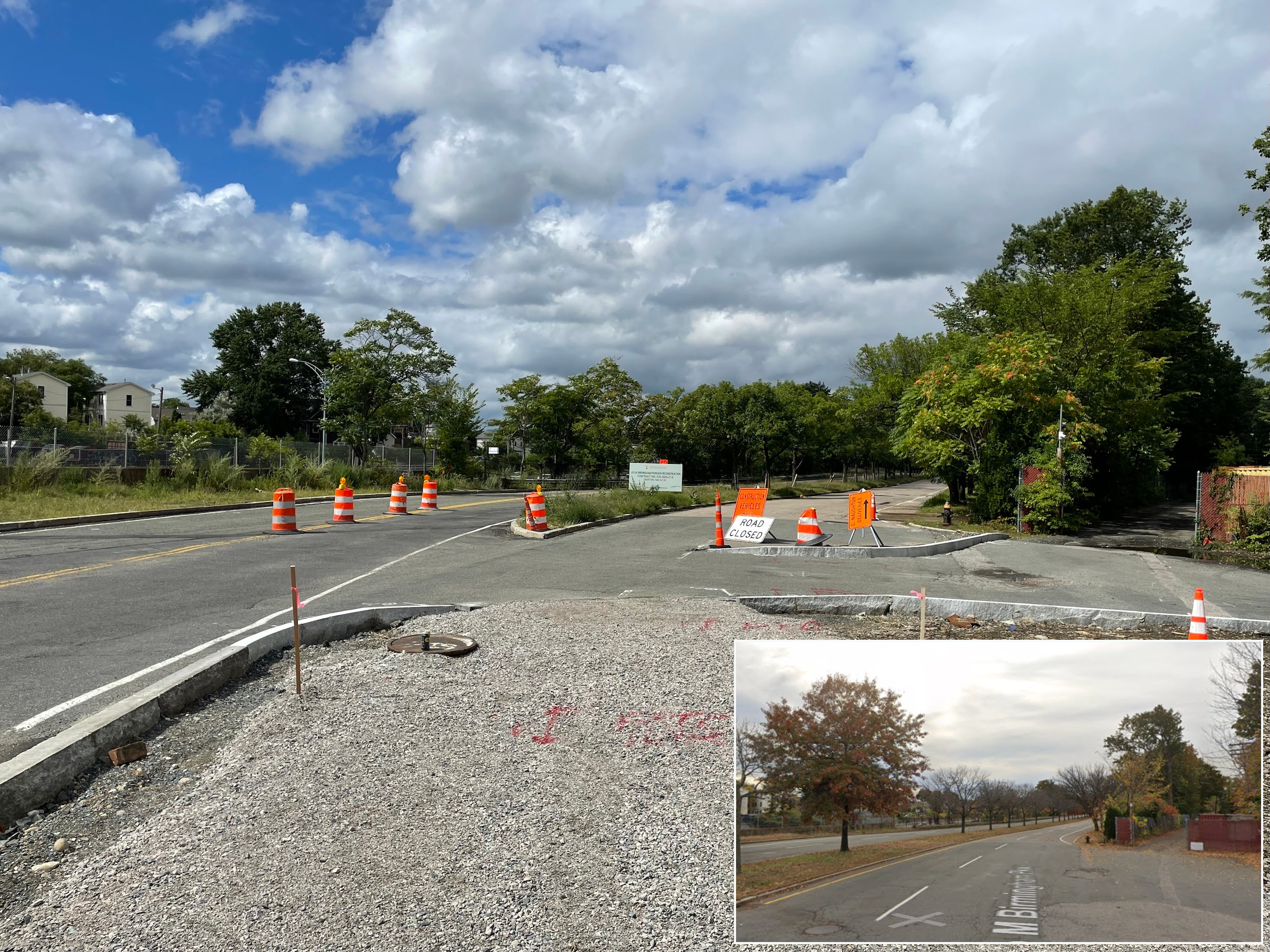
Further to the west, motorized vehicle traffic has already been shifted to the southern side of the parkway, with the former eastbound lanes converted to a two-way street.
The former westbound lanes (pictured below), where the trail will eventually go, have been closed off to traffic.
For the most part, those lanes still haven’t been demolished, as construction work so far has mostly been focused on the three intersections along the length of the project.
But soon, all the asphalt on the left side of the photo above will be ripped up and replaced with a much narrower shared-use pathway for bike and pedestrian traffic.
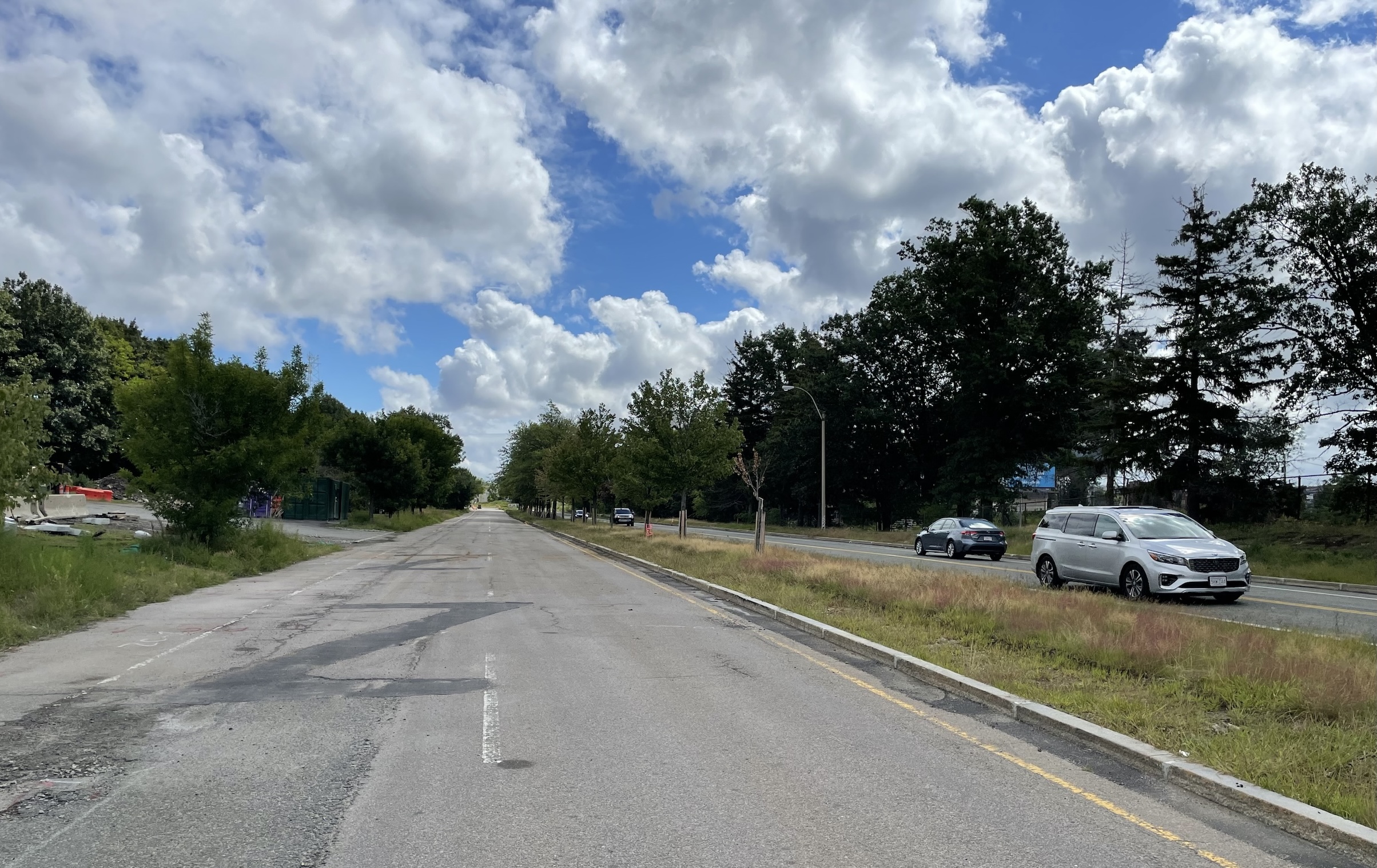
The construction work has also made some considerable traffic-calming improvements to the sidewalks and crosswalks where Birmingham Parkway intersects with North Beacon Street, about halfway between Market Street and Soldiers Field Road.
The project will construct new crosswalks from North Beacon Street across Birmingham Parkway where none had previously existed.
Pictured below is one of the new concrete sidewalk ramps, which will eventually connect to a new trail on the right:
On the southern side of the North Beacon intersection, workers have installed new curbs that considerably reduce the width of the intersection and provide more space for the bike and pedestrian traffic that will eventually access the trail here.
Note that this intersection work also creates a short segment of curb-protected bike lane approaching the intersection (around the orange construction barrel at right in the photo above). This will connect the new shared-use pathway to the new flexpost-separated bike lanes on North Beacon Street that Mayor Wu’s administration installed last year between the Interstate 90 overpass and Union Square in Allston.
At the western end of the project area, the roadway widens again to connect motor vehicle traffic into the multi-lane rotary next to IHOP.
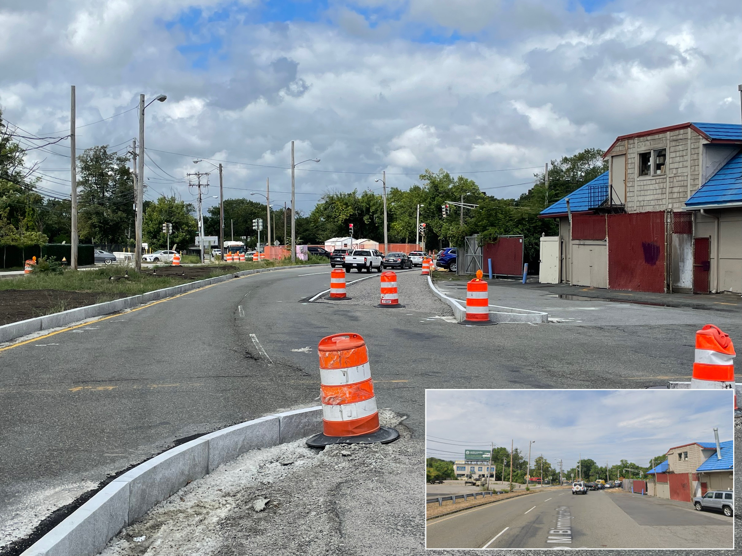
Plans for this project (pictured below) don’t include any substantive safety improvements to the notoriously dangerous traffic circle, and there will still be no legal way for path users to cross Solider’s Field Road here to access the Paul Dudley White riverfront path that’s right on the other side of the highway.
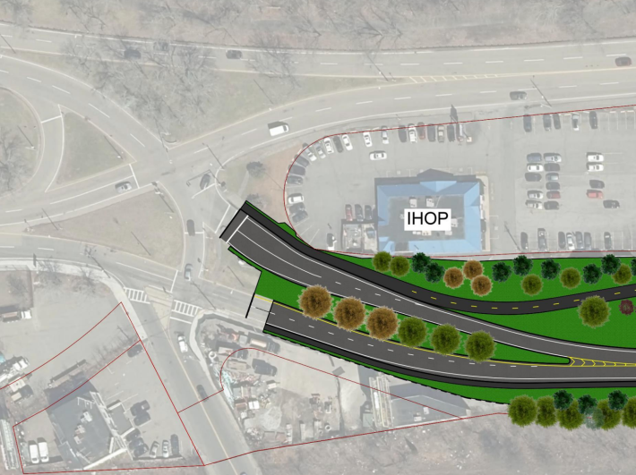
Instead, the nearest legal crossing to the Charles riverfront will be another 1200 feet further west, at the Brooks Street traffic light.
However, the Department of Conservation and Recreation is currently conceptualizing another project to redesign this traffic circle and add additional crosswalks to connect Brighton to its riverfront.

Read More:
Streetsblog has migrated to a new comment system. New commenters can register directly in the comments section of any article. Returning commenters: your previous comments and display name have been preserved, but you'll need to reclaim your account by clicking "Forgot your password?" on the sign-in form, entering your email, and following the verification link to set a new password — this is required because passwords could not be carried over during the migration. For questions, contact tips@streetsblog.org.