MassDOT and MBTA Are Studying Expanded Ferry Service

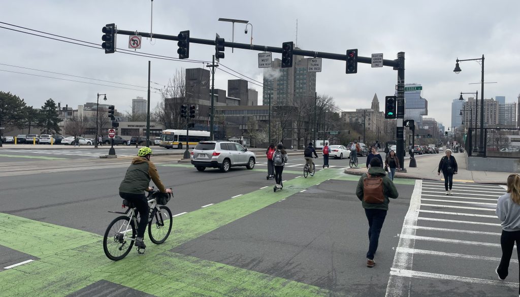
In its ongoing work to provide alternatives to driving and connect communities by way of accessible public transportation, the MBTA is looking to expand its service by land and sea.
The MBTA and MassDOT are launching the Water Transportation Study, which will be a 12-month project to assess potential new opportunities for the transportation agency’s ferry service connecting communities along the Massachusetts coast to each other and Boston.
Currently, the ferry has six routes that run from Charlestown, Hingham, Hull, Winthrop, East Boston, Lynn, and Quincy into Long Wharf by the Aquarium Blue Line stop and the North End.

Capitalizing on the benefits of ferry travel and how it connects people to downtown Boston, the airport, and the South Shore, the MBTA is looking to see where else ferry routes could potentially expand to.
Possible destinations include other coastal cities and towns like Gloucester, Salem, Chelsea, and Everett.
“They [ferries] are a vital connection that strengthens ties between communities, reduces congestion, and supports sustainable travel,” said outgoing Transportation Secretary Monica Tibbits-Nutt in a September press release.
The study will take place over the course of 12 months, and will assess the past, present, and future of water transportation in the state of Massachusetts.
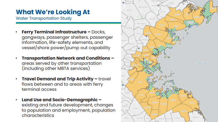
Some aims of the study include improvements to current ferry routes and infrastructure as well as new ferry routes, terminals, and facilities, improving the ferry experience for all users, and enhancing multimodal access to the terminal locations.
Additionally, a big priority of the project is to establish a fully accessible water transportation network that meets the Americans with Disabilities Act (ADA) standards, advancing equity of access across modes of transportation for all.
At the October 8th Community Meeting, the project team members shared a presentation detailing the study, and answered community questions submitted virtually.
The MBTA also held municipal-specific open houses throughout the Commonwealth last month including Lynn, Quincy, Salem, Gloucester, East Boston, Hingham, Chelsea, Everett, and Winthrop.
Moving forward, community engagement for this project will look like public meetings, both in-person and virtual, a public study website that will consist of relevant project documents, meeting materials, feedback forms, and events from workshops to pop-ups in the communities that the work will impact.
As the project takes off, Secretary Tibbitts-Nutts encourages community participation. The study – and the future of water transportation in Massachusetts – will be shaped by community voices. “We encourage residents, local leaders, and stakeholders to share their ideas.”
As part of its efforts to engage communities and advance equity in transportation, the MBTA has highlighted local participation in various ways.
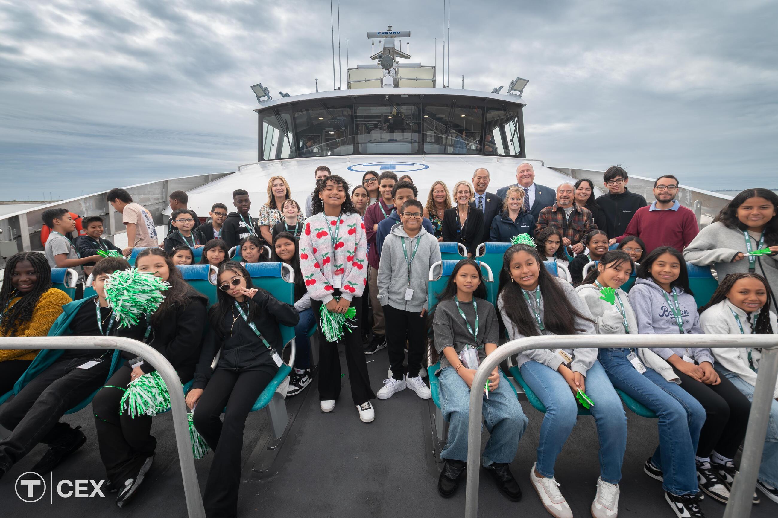
For example, earlier this year, students in Lynn took part in a contest to rename the Lynn ferry, previously known as the Schoodic Explorer.
In the name of community participation, residents are encouraged to fill out the project’s first survey, which is open through Wednesday, November 12.
The MBTA is looking to see how the public uses or would like to use the MBTA’s ferry system to inform and drive the project’s goals and next steps.
The survey is available in English, Spanish (Español), Haitian Creole (Kreyòl Ayisyen), Portuguese (Português) Vietnamese (Tiếng Việt), Traditional Chinese (漢語), and Simplified Chinese (汉语).
For more information:
- Project website: www.mbta.com/projects/water-transportation-study
- Contact the project team: WaterTransportationStudy@mbta.com

Streetsblog has migrated to a new comment system. New commenters can register directly in the comments section of any article. Returning commenters: your previous comments and display name have been preserved, but you'll need to reclaim your account by clicking "Forgot your password?" on the sign-in form, entering your email, and following the verification link to set a new password — this is required because passwords could not be carried over during the migration. For questions, contact tips@streetsblog.org.